Jemez Falls
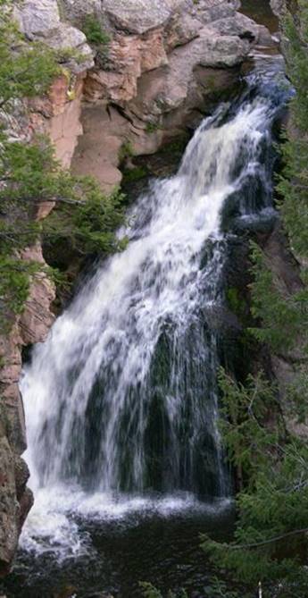
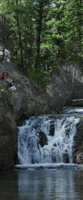

Jemez Falls is 40 feet high Small but pretty Upper Jemez Falls see more about Battleship Falls on it’s page This sweet little 10’ - “un-named” falls shows on our map below
beta facts:
name- Jemez Falls
height- 40’
elevation- 7800’
GPS coordinates- ±35°48.740’N 106°36.415’W
flow- full-sized trout stream
season- May thru October
accommodations- forest service campground
ownership- public – Santa Fe National
Forest
access- a quarter mile trail from paved
campground road
nearest town- Jemez Springs is 13 miles
southwest of here
fun fact- Amazing beauty here… the trails
are awesome and the waterfalls are wonderful
essay bro:
You will see the sign for Jemez Falls
Campground along Highway 4 half way between the towns of Los Alamos and Jemez
Springs. This is the heart of the Jemez
Mountains in Santa Fe National Forest.
Jemez Falls descends about 40 feet of volcanic bedrock. Upper Jemez Falls is a couple hundred yards
upstream. Several other wonderful falls
await your admiration below Jemez Falls.
Like all of New Mexico high elevation, forested mountain areas, the
Jemez River flows full in April and May while frozen in snow pack from
Thanksgiving thru Easter.
(see also East Fork
Jemez Box Falls and Battleship
Falls)
Enhanced USGS 7.5’ topo map
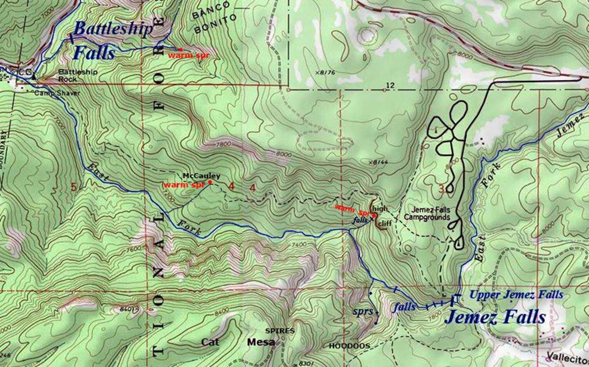
the
thin red section lines above represent one mile
Send questions and comments to doug.vivian@yahoo.com