Williams Basin Falls
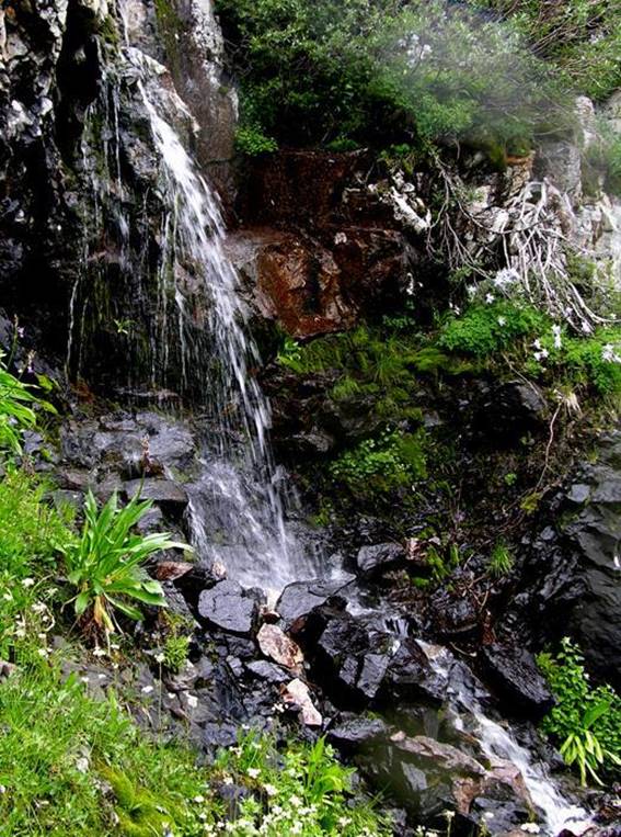
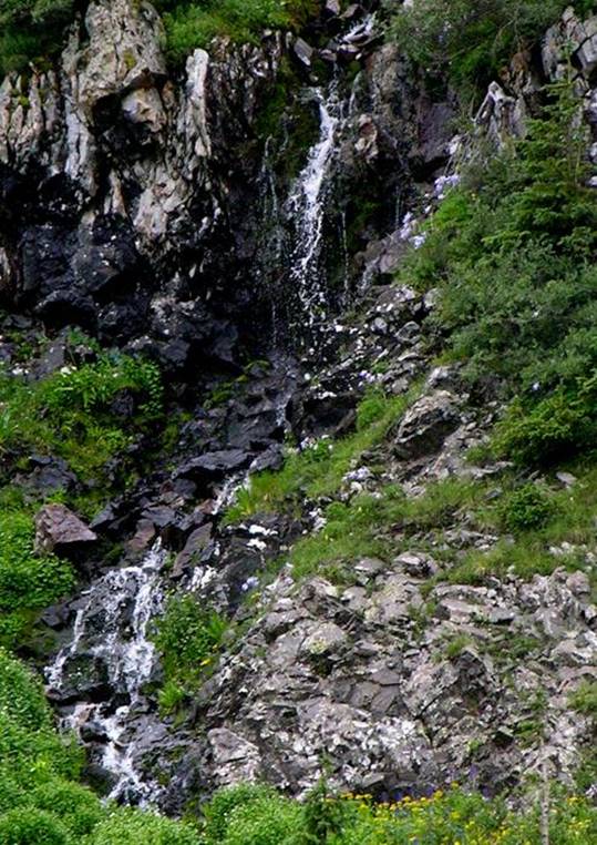
Williams Basin Falls (30’ high) is a tiered waterfall high up at
timberline... here is two views of it during midsummer flow.
beta facts:
name- Williams Basin Falls
height- 30’
elevation- 11,600’
GPS coordinates- ±36°32.822’N 105°26.003’W
flow- perennial
season- June thru Oct… the early bird will fight snowdrifts but will
see the best water-show
accommodations- Wheeler Peak Wilderness
ownership- Carson National Forest
access- 2½ miles on trail #62 …and a short
steep mile southwest of Williams Lake
nearest town- Taos Ski Valley is about 5
miles North of here
fun fact- …hard to find...
Williams Basin Falls is shown near the lower
left-hand corner of the map below... between Williams Bog and Godoi Lake
Right-click-save-as
to make yourself a copy of our map below
To see a larger, updated and
more detailed map of this entire Wheeler Peak Area, click here: http://www.dougscottart.com/hobbies/waterfalls/TaosMtnsSEquad.htm
and here: http://www.dougscottart.com/hobbies/waterfalls/TaosMtnsMap.htm
Enhanced USGS 7.5’
topo map
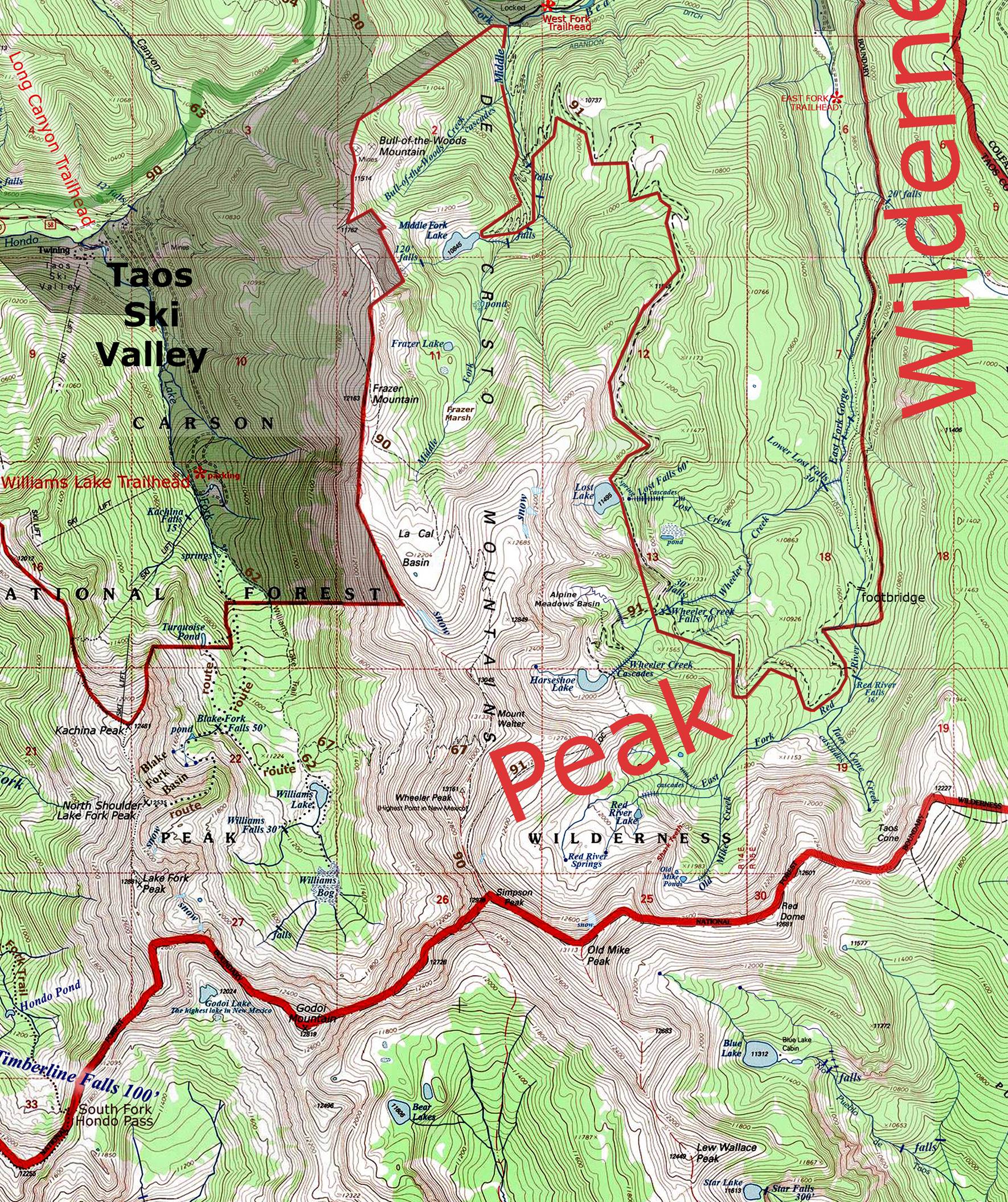
__________one mile__________
Send questions and comments to doug.vivian@yahoo.com