Virgin Falls
Virgin Falls a 30’ high
tiered waterfall that cannot be seen in it’s entirety from any one view
point.
It is like a spiral
staircase... curving downward in a continual left-hand turn.
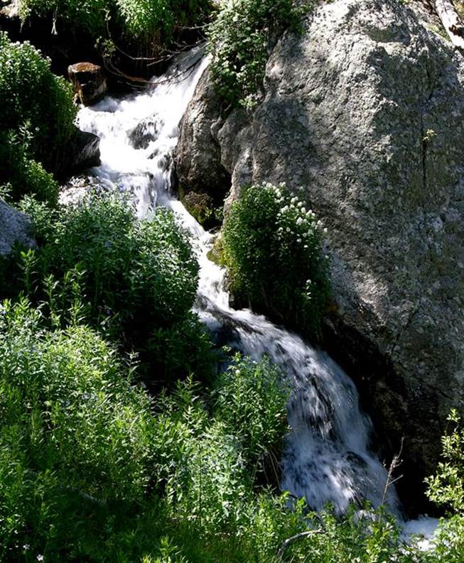
this “upper” portion of Virgin
Falls can be seen only from the north...
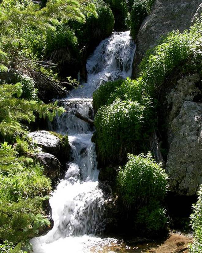
and this “lower” portion of Virgin Falls
can be seen only from the west.
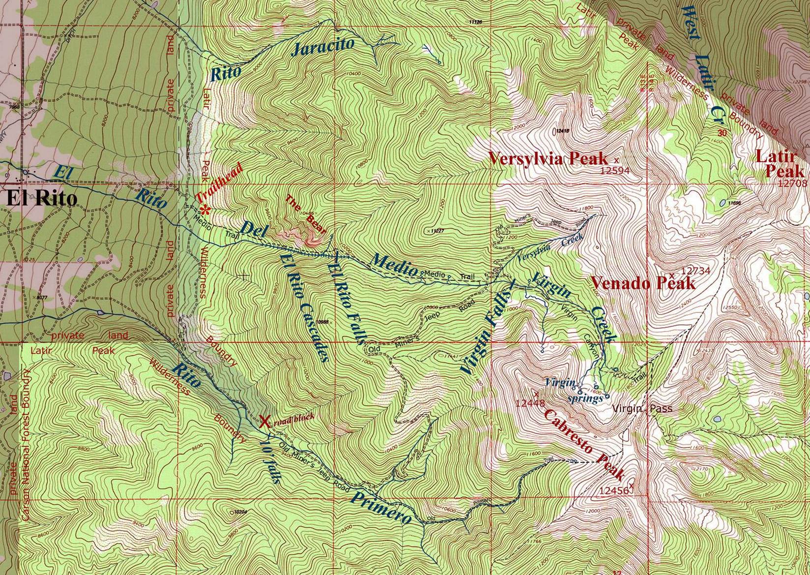
...a nice story is told with more photos below the map at the
bottom of this page.
beta facts:
name- Virgin Falls
height- 30’ spiraling downward in steep
beautiful steps
elevation- 10,800’
GPS coordinates- ±36°47.462’ N 105°30.710’W
flow- perennial
season- May to November- earlier is more
water flow
accommodations- Latir Wilderness
ownership- Carson National Forest
access-
- ½-mile jeep road and 2½-mile steep trail
nearest town- Questa is about 7½ miles
south of here
fun fact- Virgin Falls is not amazing... it is... just...
beautiful...!!!
my favorite way to approach
Virgin Falls is from the northwest up the short abandon jeep road shown on the
map
essay bro
Because of the beautiful hike and walking
next to the El Rito Cascades as well as the special-ness of Virgin Falls, beautiful
Virgin Creek, Virgin Canyon, Virgin Springs along with the wonderful Latir
Wilderness high-country and it’s abundant wildlife... Wheeew...
What more can I say...!!! This is one of my
favorite places...!!!!!!!!
All kinds of hike options
here... up steep medio creek to Virgin Falls... then a loop-hike up over the
highest point in the Latir Peak Wilderness Area 12,734’ Venado Peak... going up
Virgin Canyon and down Versylvia Creek... also a possible loop-hike taking the
abandon Old Miner’s Jeep Road south over Cabresto Ridge and back to your
vehicle via Primero Creek... make-up your own route...
Enhanced USGS 7.5’ topo map “NORTH IS UP”
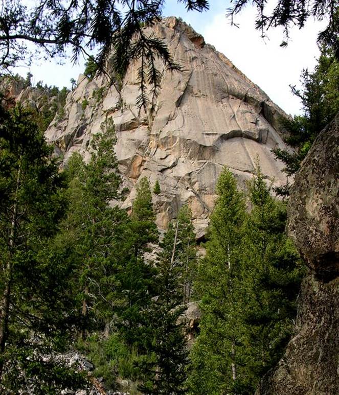
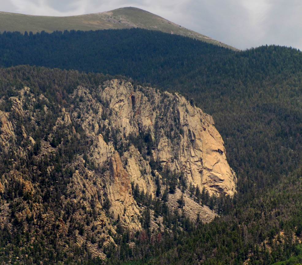
...this is the famous rock that climbers
love and call “Questa Dome”... it is
over 500’ high. Questa Dome is more well
known to the locals... as “The Bear”... and it is one of the better
resemblances of any named natural feature that I have ever seen... from the
highway west of here, you can even see his eye...!!!
The following photos are of one of the
finest wildlife hikes that I have ever had
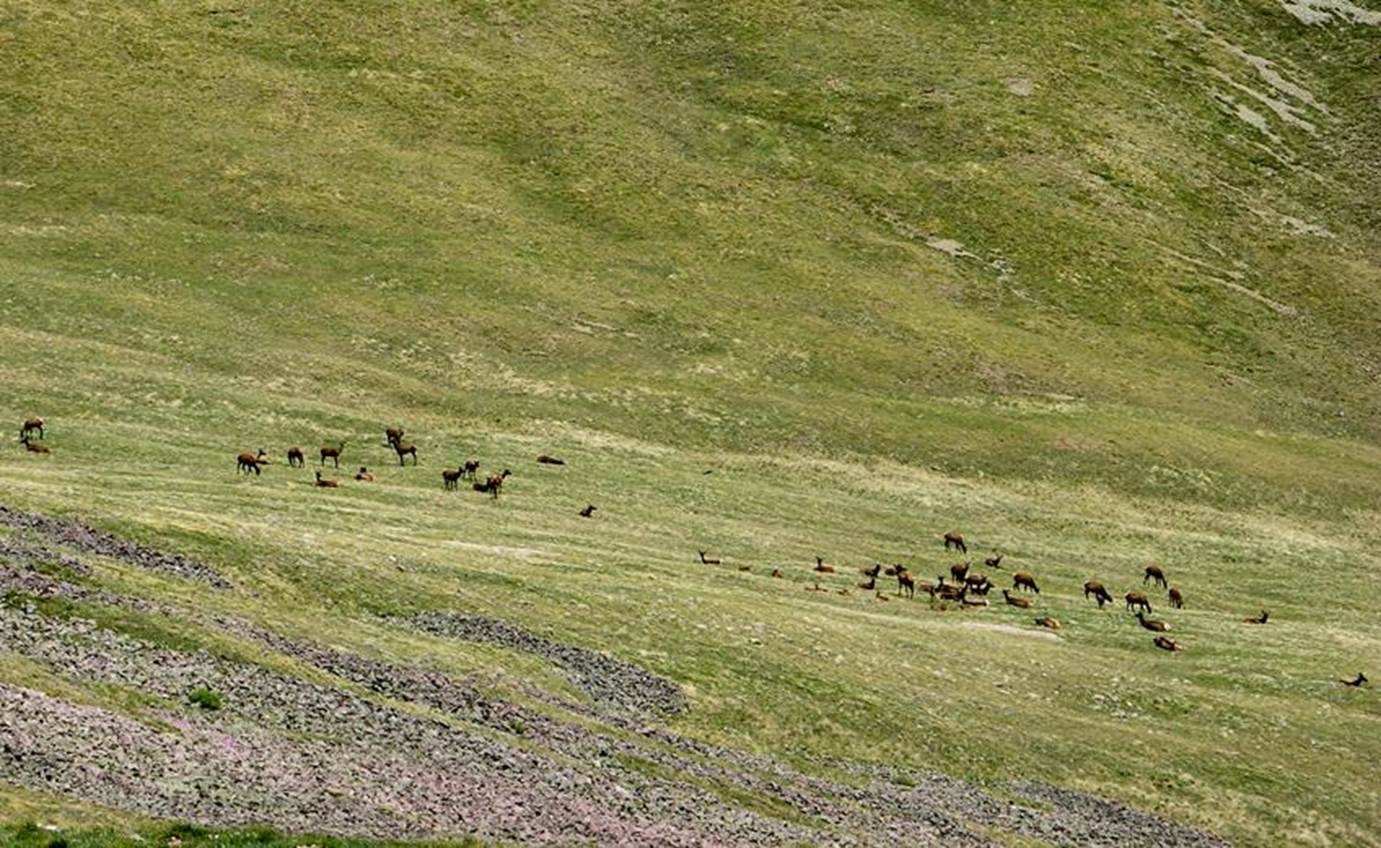
Nice herd of 50 elk I experienced above timberline.
What a day this was for wildlife encounters
in Latir Peak Wilderness Area’s wonderful Virgin Canyon...!!!
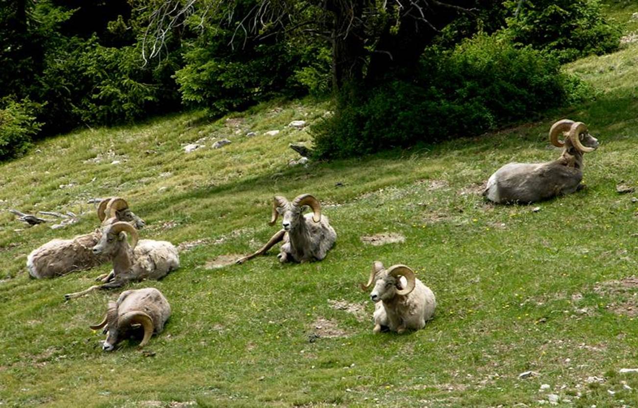
...a half-dozen resting Bighorn Sheep Rams,
that didn’t seem to be worried about me being 80 feet away...
Shhhhhhhh…..!!!!!! that front left ram is
asleep…….!!!!!!!
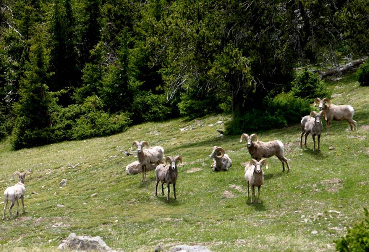
I stepped closer and asked them to move
around some so I could get a few photos of them doin’ something other than
sleeping...!!! With that the 9 rams
decided our visit was over... as they left they aroused about 20 ewes and lambs
who departed casually with them.
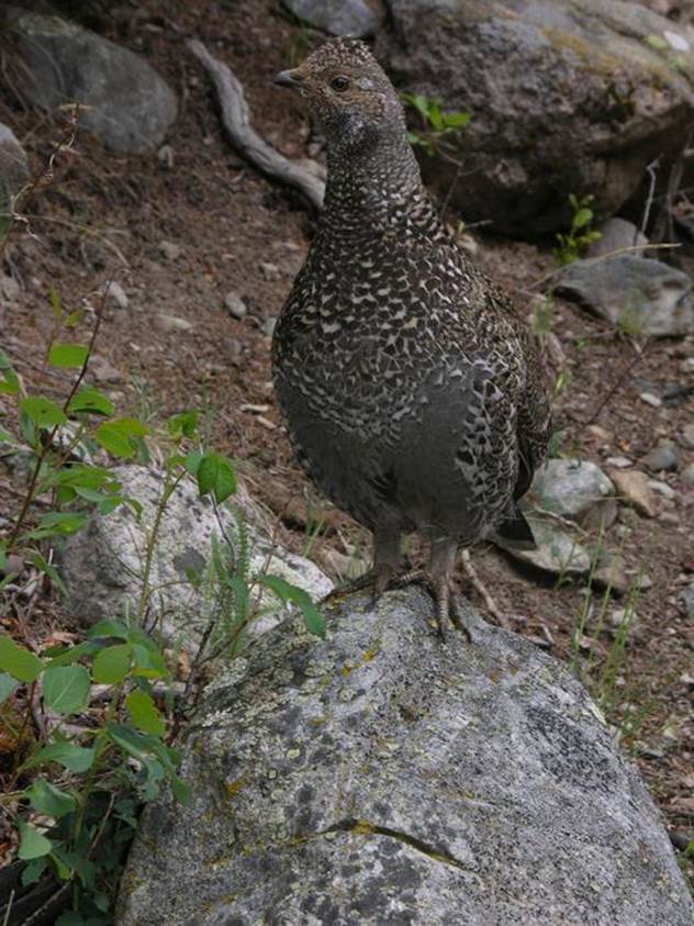
This feisty mama Blue Grouse aggressively
kept me away from her nest. She circled
me for 15 minutes at 36” away and twice flew up “flogging” my face with her
wings...
...kinda reminds me of my
mom...
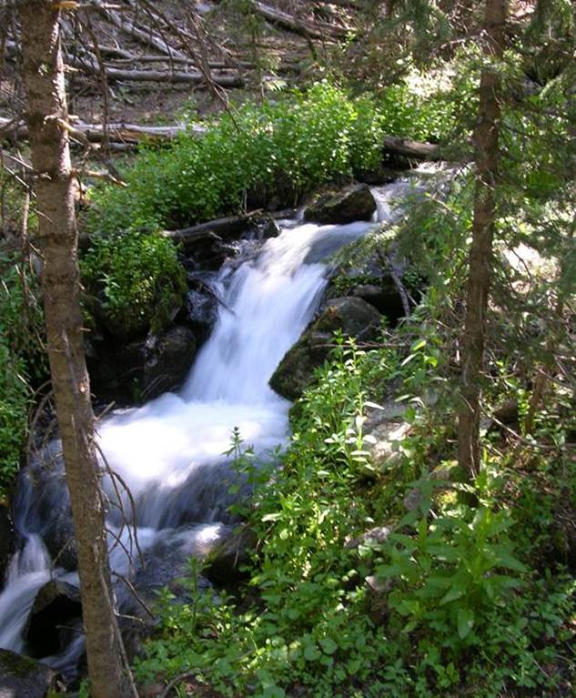
Virgin Creek above the falls
one of several “Virgin
Meadows”
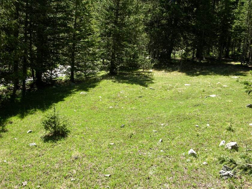
more beautiful “Virgin
Meadows”
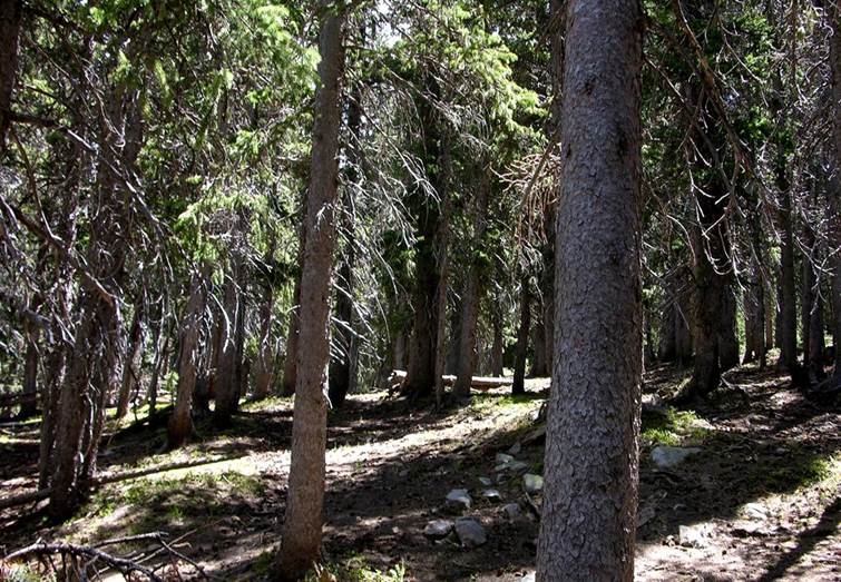
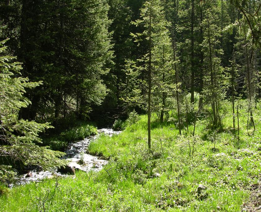
“Virgin Forest” in Virgin
Canyon

Virgin Trail at timberline in
early July
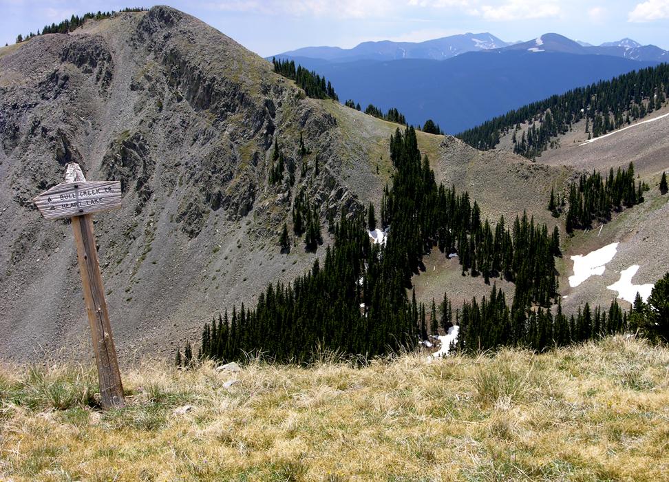
Virgin Pass looking south
towards 13,161’ Wheeler Peak, New Mexico’s highest, in the background.
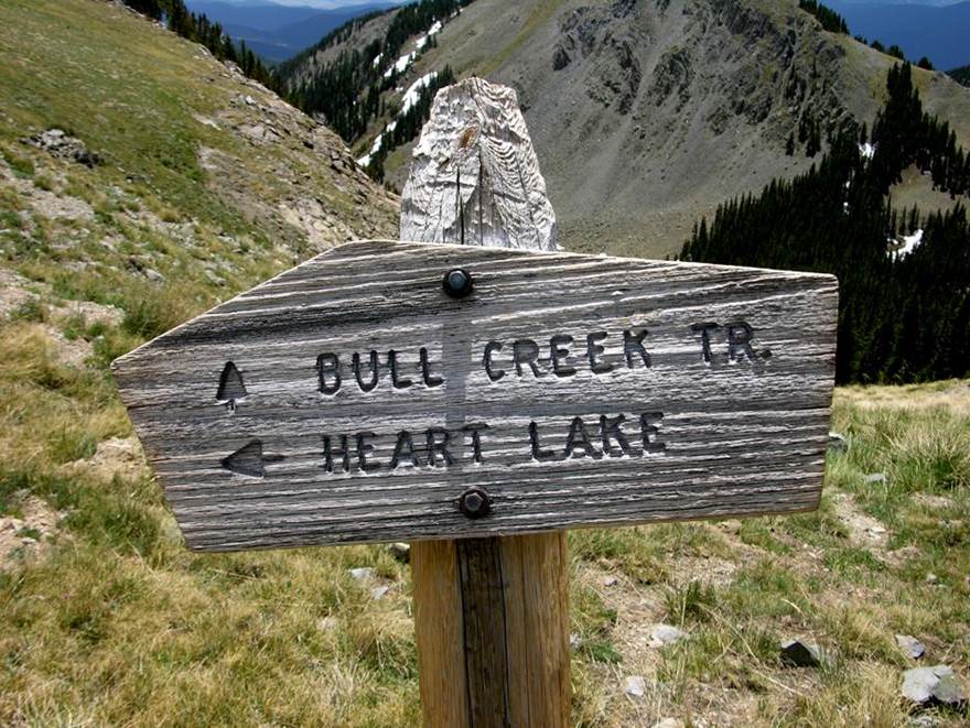
Virgin Pass signpost
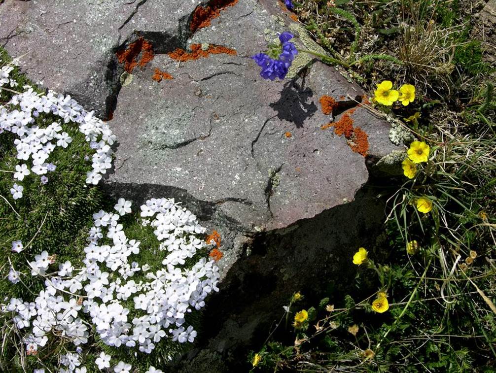
The miniature world of
timberline flowers and lichen
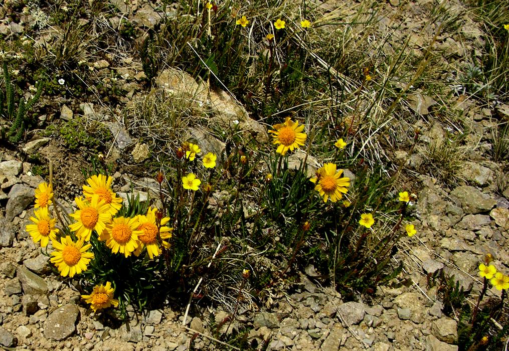
smiling “Sunnies”
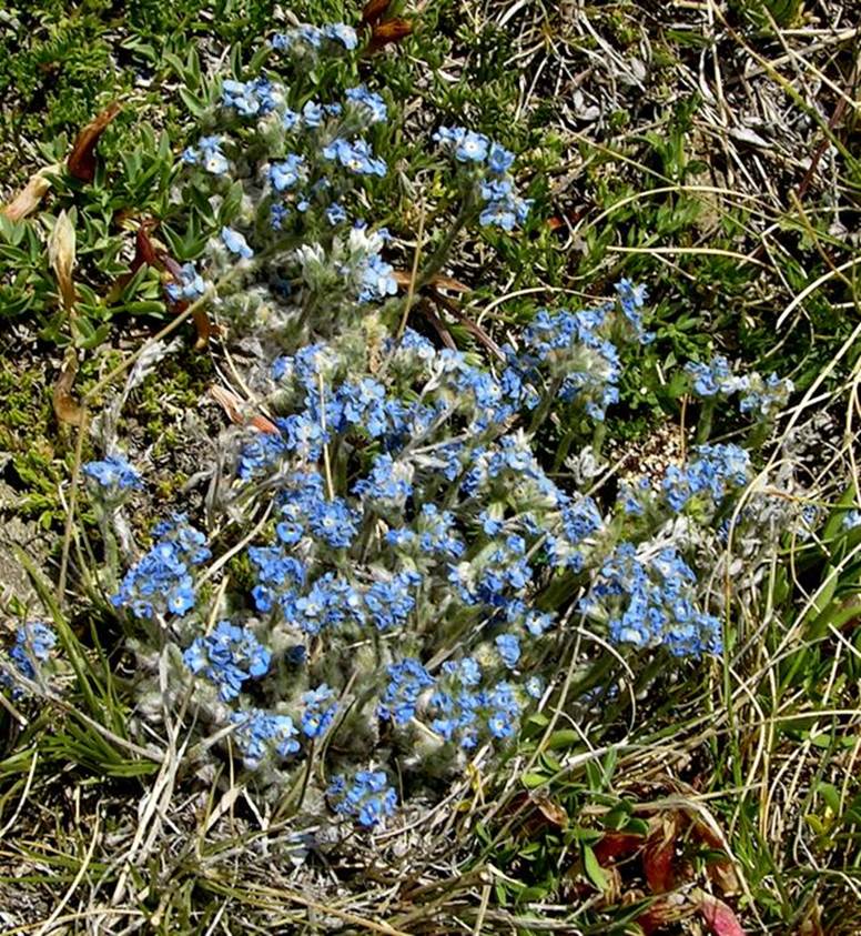
Forget-me-nots
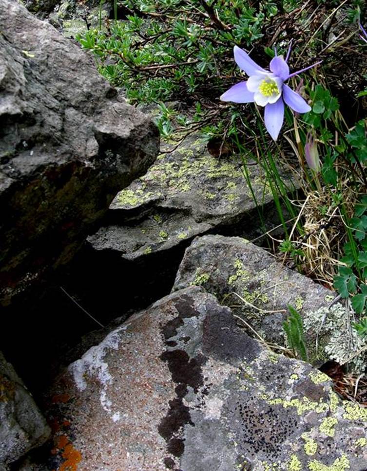
Columbine
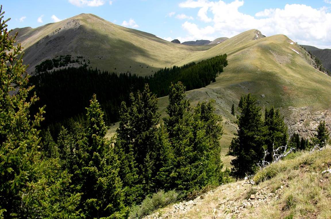
Latir Wilderness’ highest...
12,734’ Venado Peak as seen from near Virgin Pass
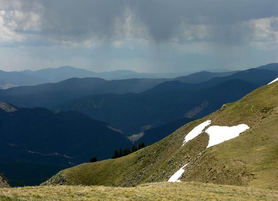
July rain…. falling upon Red
River Ski Runs... as seen from near Virgin Pass
Send questions and comments to dscott@TheMarbleSculptor.com