Star
Falls
The photo above was found
in an old photos archive. This photo was
obviously taken before President Nixon gave Blue Lake back to Taos Pueblo in
December of 1970
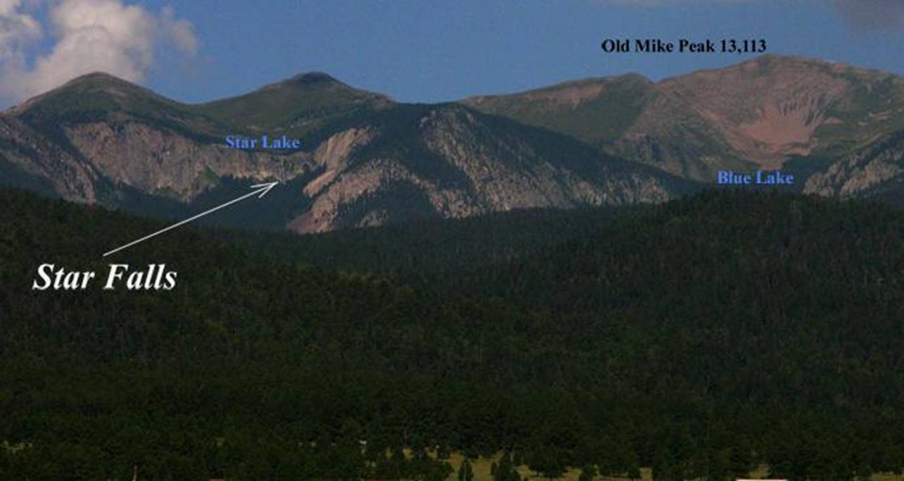
This photo shows some of the high peaks of the Toas Pueblo land… The headwaters of Taos Pueblo Creek as
seen from Eagle Nest Lake.
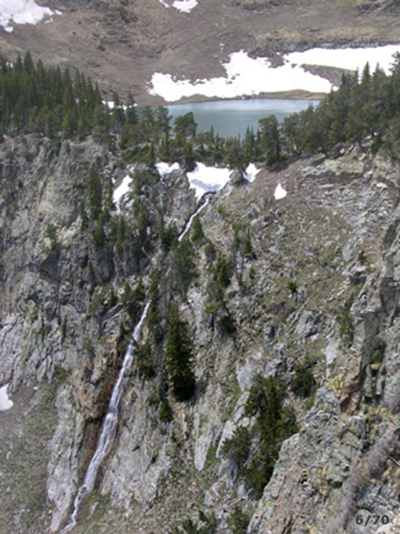
Star Falls is located within sacred Taos
Pueblo Land and it is not open to the public.
The photo above is taken from Eagle Nest Lake. Star Falls is about 300 feet high. From the photo above I would guess it to be
closer to 400 feet high. The sheer
cliffs rise to near 1000’ on each side of Star Falls. This is an amazing place.
To see a larger, updated and
more detailed map of this entire Wheeler Peak Area, click here: http://www.dougscottart.com/hobbies/waterfalls/TaosMtnsSEquad.htm
and here: http://www.dougscottart.com/hobbies/waterfalls/TaosMtnsMap.htm
Enhanced USGS7.5’ topo map
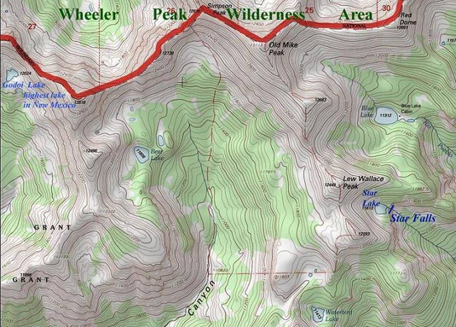
____________one mile_____________
Send questions and comments to doug.vivian@yahoo.com