Sheep
Creek Falls
Sheep
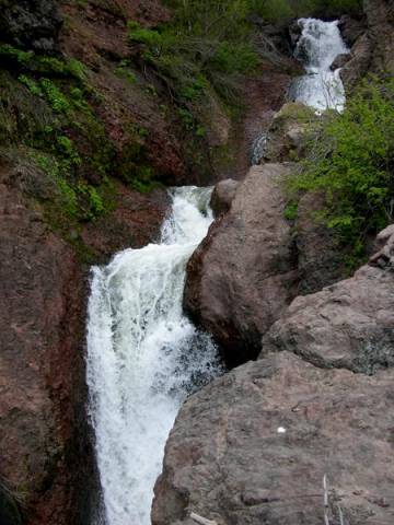
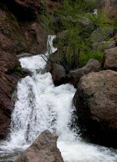
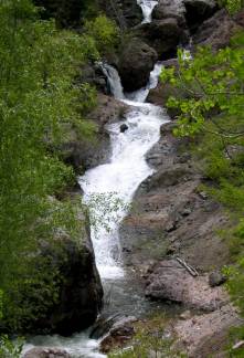
Creek Falls is a 200’ high waterfall with many tiers… the upper tiers are
higher… up to 40’ high
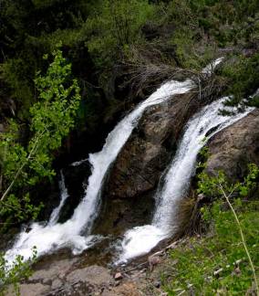
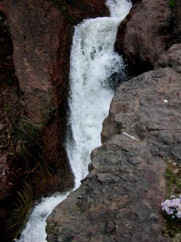
This
last photo is the lowest tier…. A beauty.
beta facts:
name- Sheep Creek Falls
height- 200’
elevation- 9300’
GPS coordinates- ±37°04.159’N 106°19.707’W
flow- perennial
season- May thru Oct… earlier is better
accommodations- nearby state hwy #17 will
take you places…
ownership- Rio Grande National Forest
access- 2 mile from the Conejos River
nearest town- Mogote, Colorado is about 13
miles east of here
fun fact- few people ever visit this place
because of access difficulty
Enhanced
National Geographic 7.5’ topo map
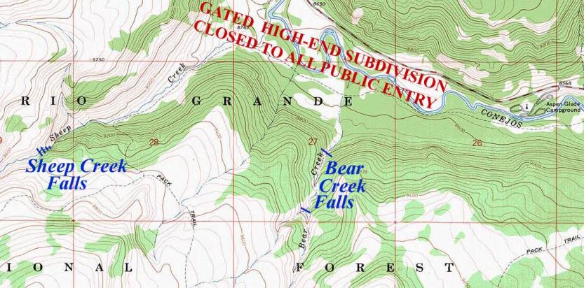
__________ONE MILE__________
Send questions and comments to dscott@TheMarbleSculptor.com