Sandia
Falls aka Waterfall Canyon Falls
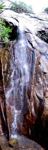
the lower
portion Sandia
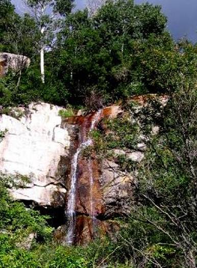
Falls’ main portion during an average
year Sandia Falls in a
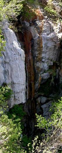
dry year
beta facts:
name- Sandia Falls aka Waterfall Canyon Falls
height-50’
elevation- 7650’
GPS coordinates- ±35°13.721’N 106°28.323’W
flow- perennial spring fed
season- spring, summer and fall
accommodations- none …Sandia Wilderness
ownership- Cibola National Forest
access- 2 miles or more off-trail hiking… well
there is a… “kind of” a path
nearest town- Albuquerque is in site from above
the falls
fun fact- I used to skip school here
essay bro
Waterfall Canyon is like perhaps a south
fork of Juan Tabo Canyon. Waterfall Canyon has many waterfalls both
above and below the main falls. Two nice
ones downstream from the main Sandia Falls are pictured below.
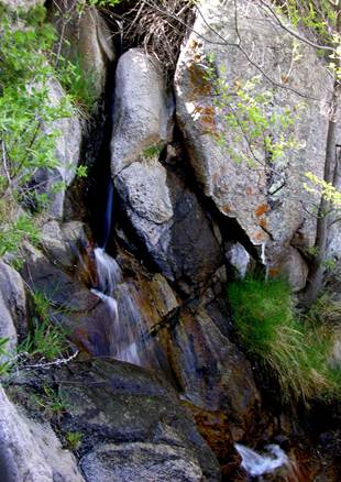
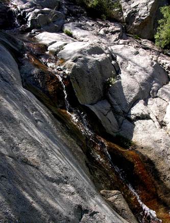
this 15’ high falls
is the most downstream
this 25’ waterfall is about 100 yards below Sandia Falls
Enhanced
National Geographic 7.5’ topo map
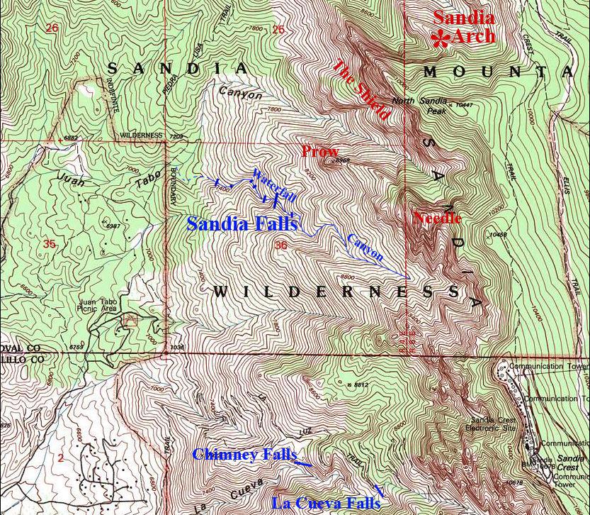
________________ONE
MILE________________
Send questions and comments to dscott@TheMarbleSculptor.com