Meadow Creek
Falls
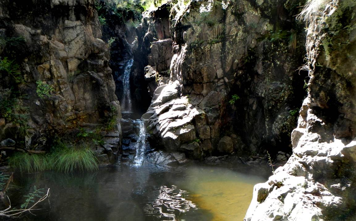
Meadow
Creek Falls
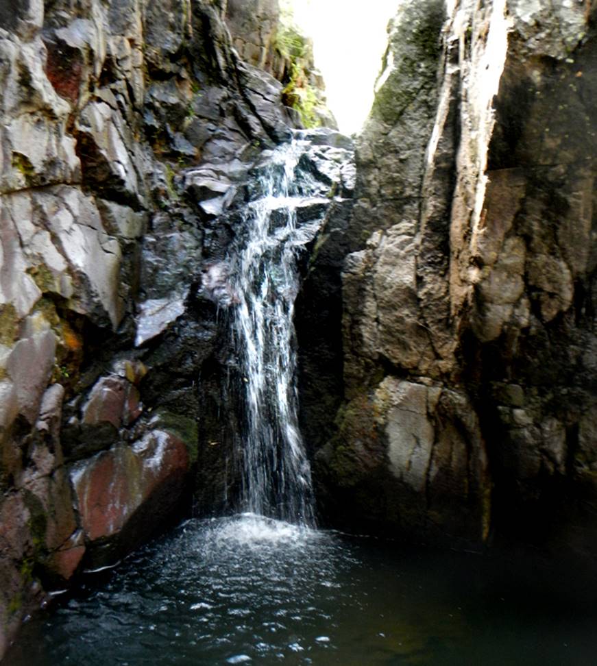
Photos by
Cheryl Price
beta facts:
name- Meadow Creek Falls
height- unknown
elevation- unknown
GPS coordinates- unknown ±°.’N °.’W
flow- small but perennial
season- April may be best, but anytime is
okay
accommodations- none
ownership- Gila National Forest
access- serious bushwhack
nearest town- Meadow Creek Falls are
roughly 12 miles north of Pinos Altos
fun fact- very, very few people ever visit
this place
essay bro
We have yet to visit Meadow Creek Falls. It’s bound to be somewhere on this map below. Thanx Cheryl for sending your photos to us!
Enhanced
USGS 7.5’ topo map
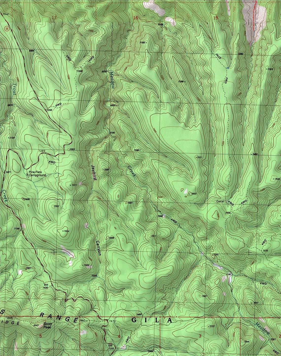
The
thin red section lines on the map above show one mile
squares
Send questions and comments to dscott@TheMarbleSculptor.com