Macho Falls
There must be twenty or
more waterfalls here...
It is best
to visit these waterfalls during the month of May
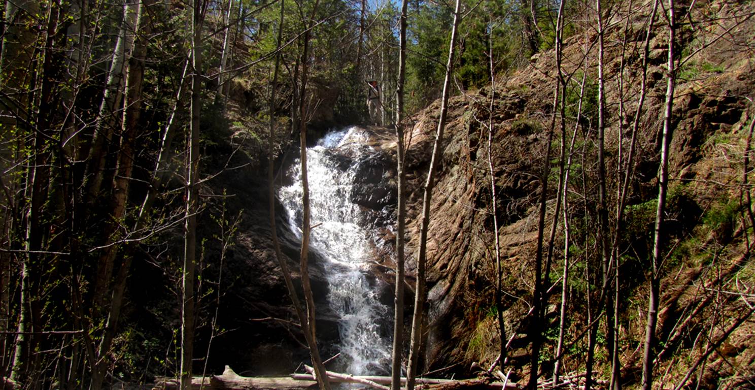
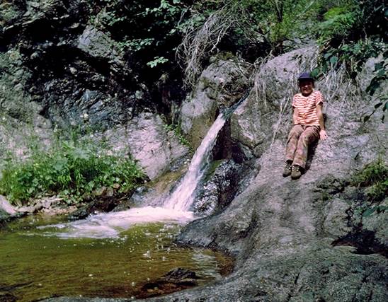
Randy stands on the brink of one of the Upper Macho
Waterfalls... this one is about 30’ high ...on North Fork Macho Creek
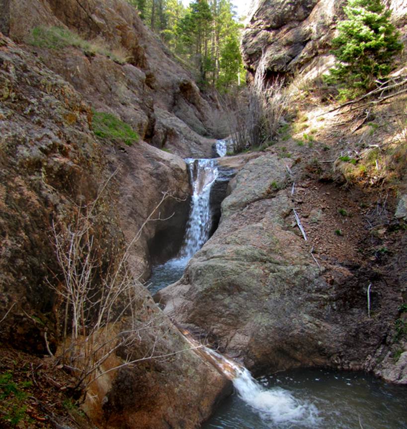
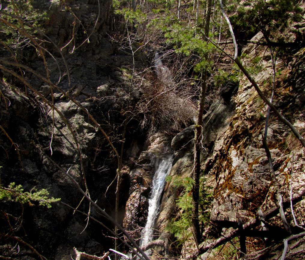
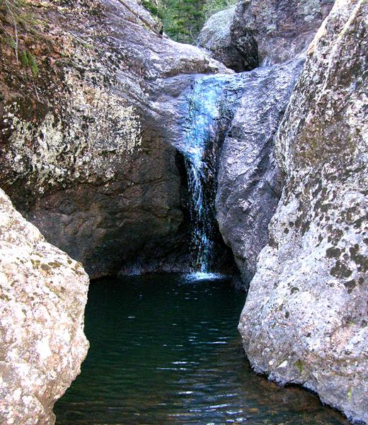
The photo below is of what
I refer to as the “main” Macho Falls on the North Fork. It consists of a series of several waterfalls
within a sculpted slot canyon
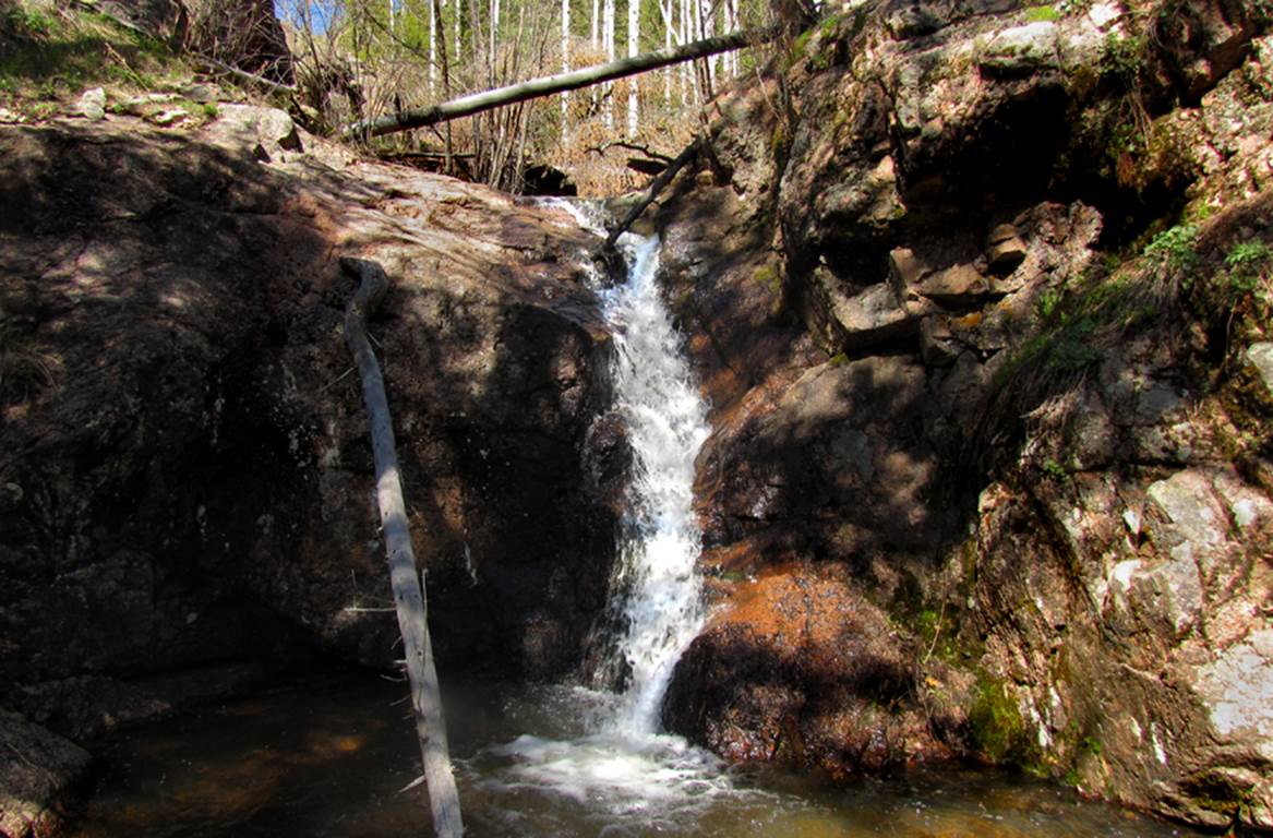
This is the 20’ high,
upper tier, of the further-most upstream North Fork Macho Creek Falls at 9300’
elevation
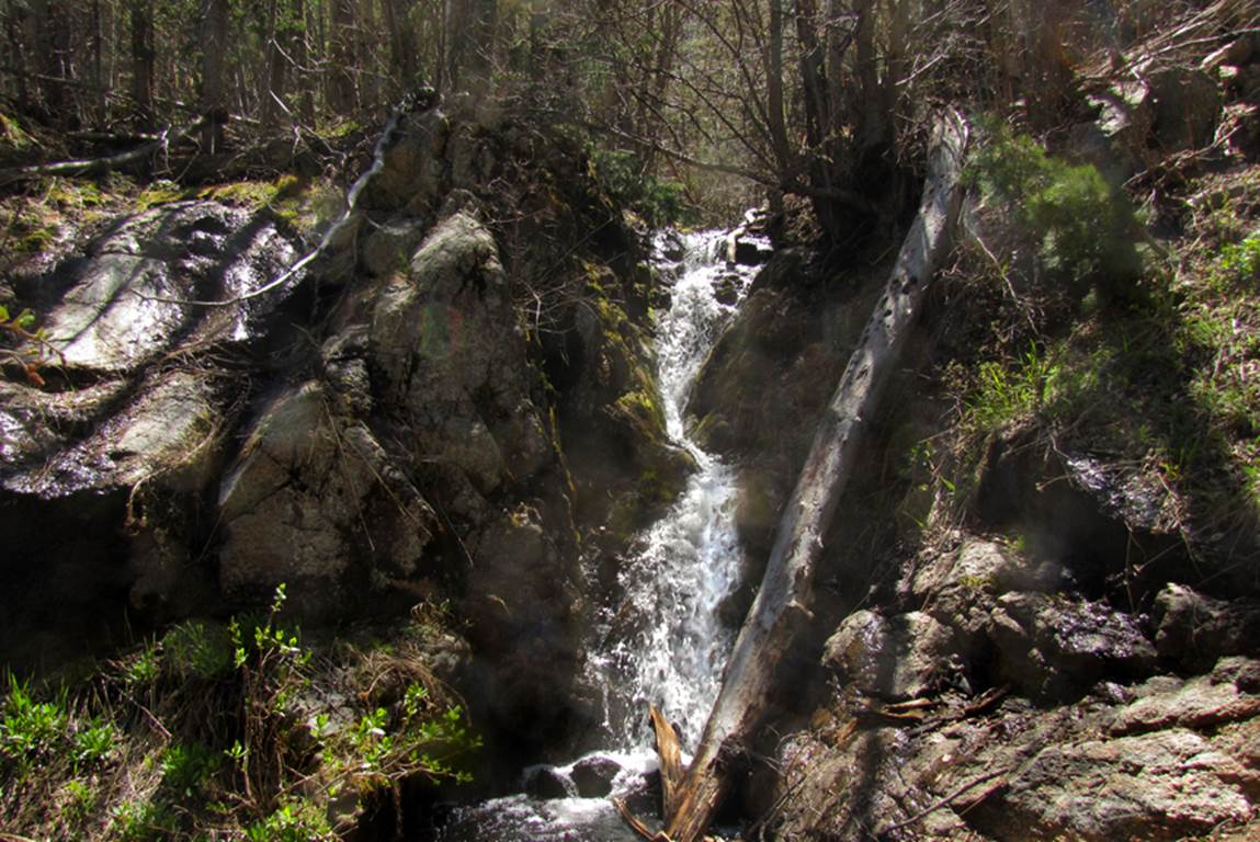
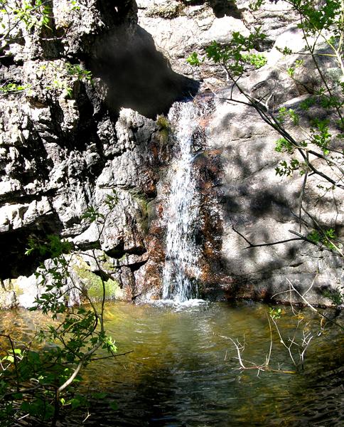
...and this is the second 20’ high tier of that same falls...
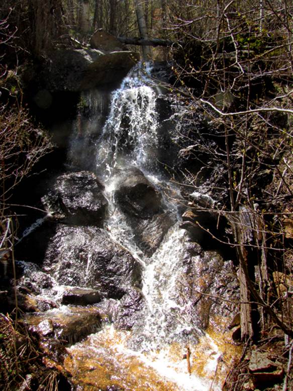
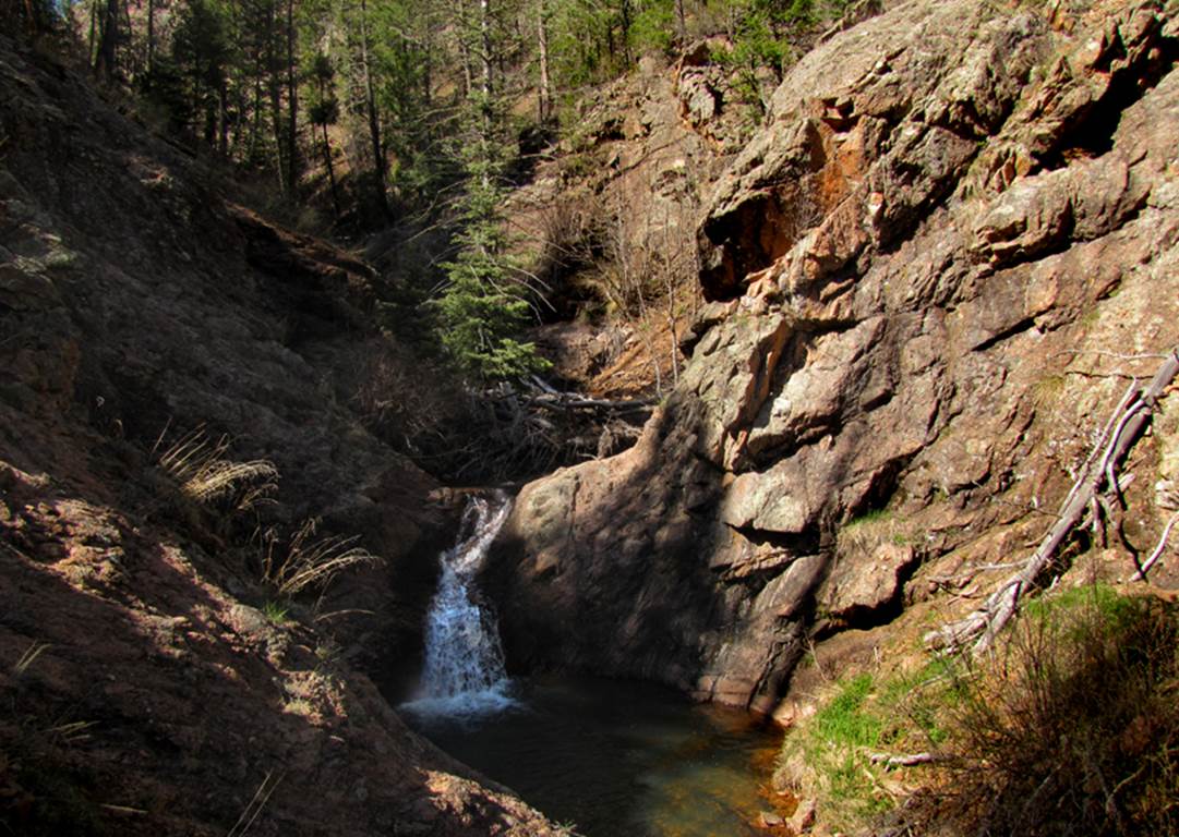
This photo below shows the same tier as in the photo above
(behind the bush) along with the final, “third tier” of this upper-most Macho
Waterfall
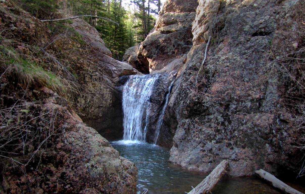
This 18 footer is found in the more upstream portions of
North Fork Macho Creek
This photo is a common looking portion within the middle of
North Fork Macho Creek Canyon
Here is an image of one of the many waterfalls within the
downstream portions of North Fork Macho Creek... this one is a 20 footer...
I am including this photo below to show how low the waterflow
can dwindle down during the summer and fall... these two photos (above &
below) are of the same 20’ high waterfall
The
photo below is of the last waterfall on the North Fork found immediately
upstream from the confluence of the Macho Creek Forks
Patty sez “Hi”
Patty Collins sits by a smaller waterfall
up Macho Creek... downstream from the “forks”.
Today she provides a wonderful place for
you to enjoy at the Gateway to the Pecos Wilderness, Cowles, NM.
http://www.wildernessgateway.com/
check it out... it is beyond words…!!!!
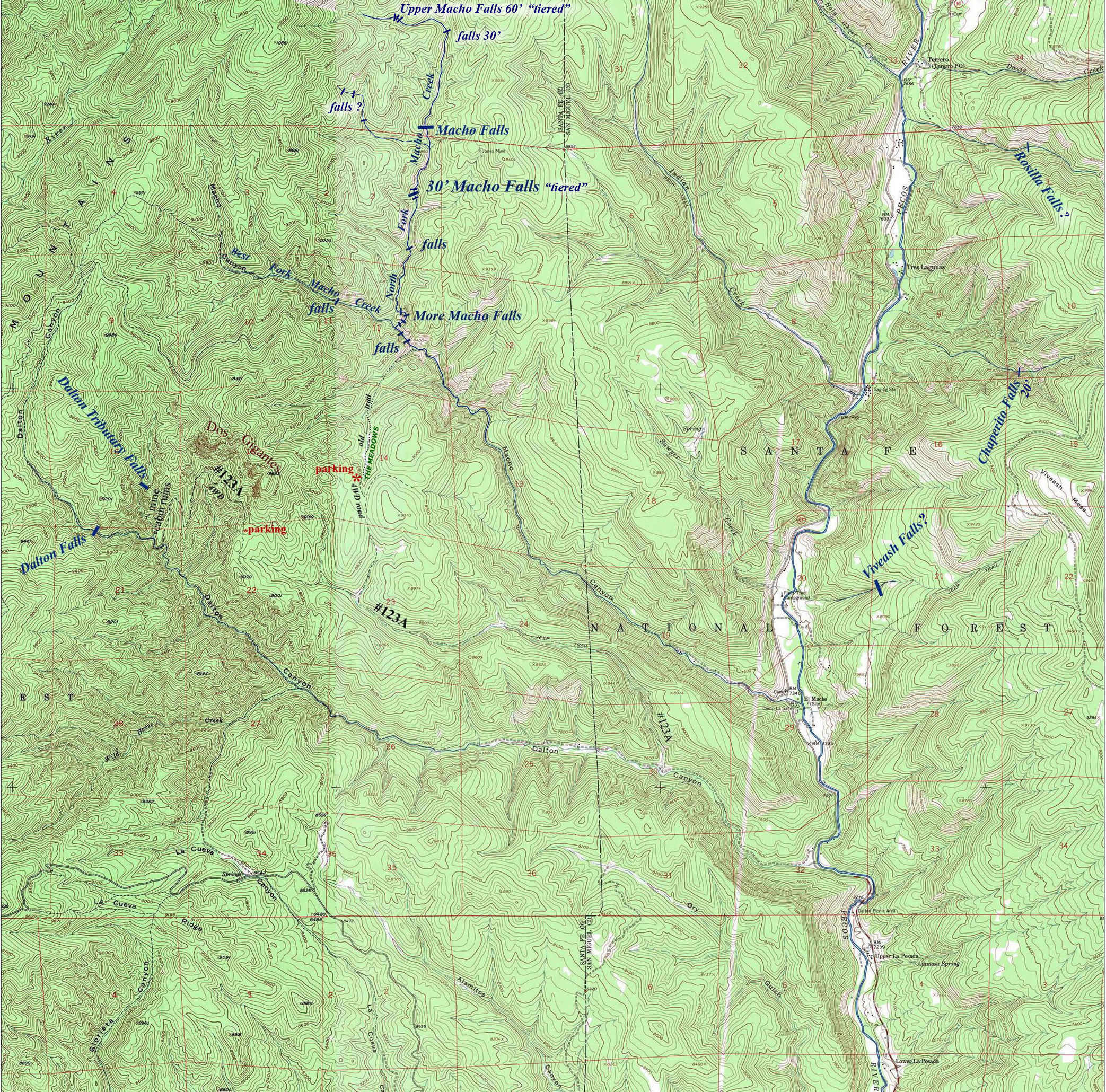
Macho Creek is
a tributary of the Pecos River in Santa Fe National Forest. It can be accessed via a north spur of forest
road 123A... see map below... Macho
Creek has two main “forks” in it’s
headwaters: West Fork Macho creek and North Fork Macho Creek. Macho Creek has many, many waterfalls. The best twenty or more,
are splashing white and pretty up Macho Creek’s North Fork. This area is very difficult to visit. Trails are almost reverted totally back to
nature and are virtually untraceable. Do
not attempt to enter this area without expert topo reading abilities and
navigation skills.
Below are some GPS coords
that may help you:
Parking on Forest Road 123A north-spur:
35°41.802’N 105°44.832’W
Macho Falls: 35°44.146’N 105°44.341’W
Most upstream Macho Falls: 35°44.832’N 105°44.576’W
Dos Gigantes looks to be a fine rock climbing area.
see: Macho Falls below and check out those
other falls… some have not been field confirmed. Please visit and document them and share them
with us…!!!
Send questions and comments to doug.vivian@yahoo.com