Little
Columbine Falls
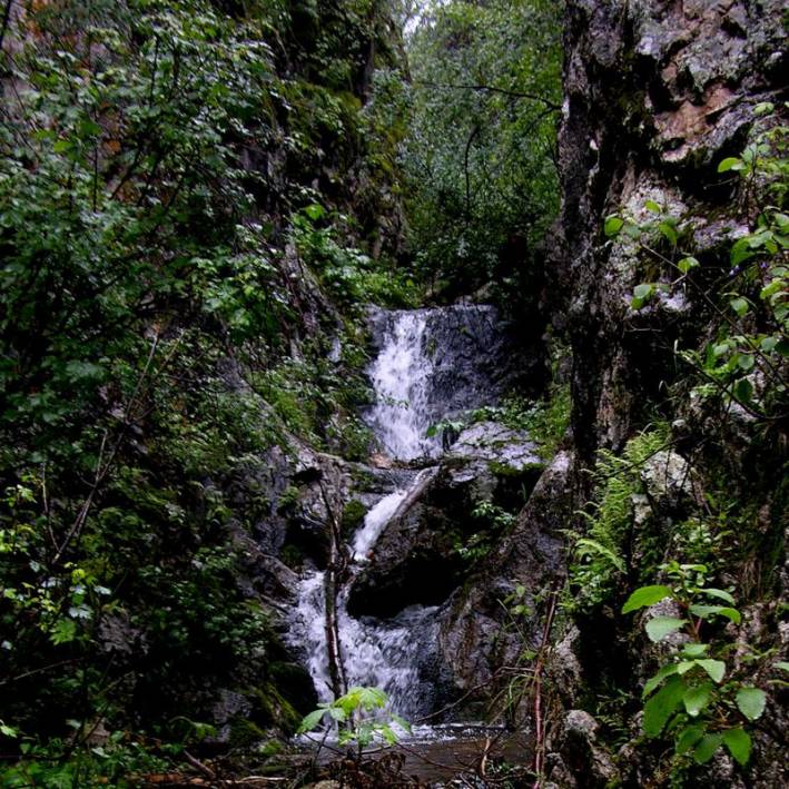
Columbine Falls Drops 20’ in two tiers
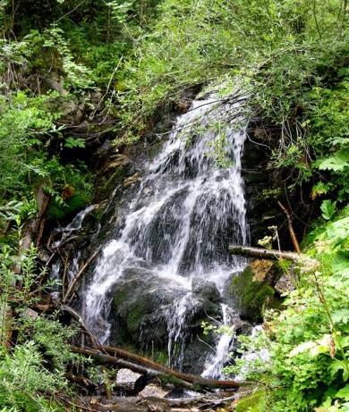
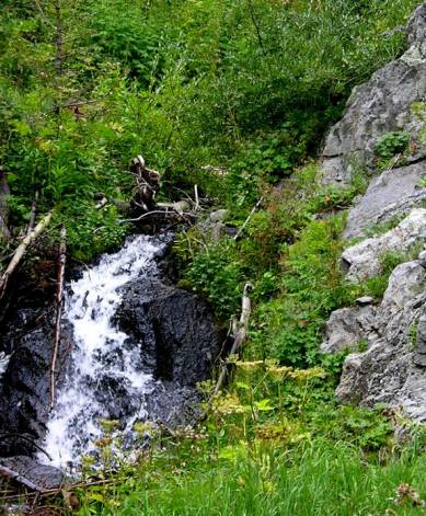
These un-named falls are farther upstream on
Little Columbine Creek
beta facts:
name- Little Columbine Falls
height- 20’ in two tiers
elevation- 8870’
GPS coordinates- ±36°38.889’N 105°31.313’W
flow- perennial
season- late spring is best but summer and
fall are fine
accommodations- none
ownership- Carson National Forest
access- 2¼-mile hike with the last half
mile being an easy bushwhack
nearest town- Questa is 7½ miles northwest
and Red River is 8½ miles to the northeast
fun fact- this is a sweet place
essay bro:
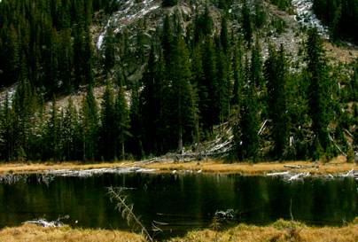
Columbine watershed is splendid… one of my
favorites… time will uncover more waterfalls here. Little Columbine Falls is a
half-a-mile west up Little Columbine Creek from where trail 71 crosses it, just
below Placer Fork. This off-trail
route is a mild and scenic hike thru aspens with some downfall to
navigate. Feel free to print your
own copy of my map below.
Little Columbine Falls is a very cool
place… quite worthy of a visit.
The falls are pinched in a narrow, granitic slot-canyon, hanging with
moss, ferns and lichen… you’ll think you’re in the Pacific Northwest.
I dream of more falls upstream from
here. Go shoot them and send me
copies of your photos so I don’t hafta climb that steep canyon.
Little Columbine Creek resembles the
lushness of North Casa Creek with its many falls near Mora.
See also: Columbine Lake Photos Below this map as well as Courtney Falls and Columbine
Falls
Enhanced National Geographic 7.5’ topo map
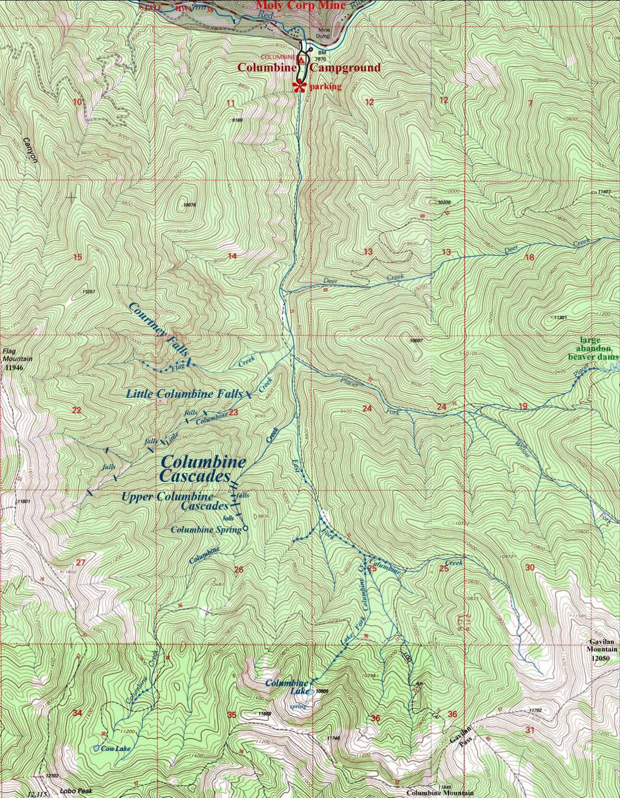
_______________one
mile_______________
note- the small round, blue dot on the creeks above shows
whitewater-cascades that are not falls
Columbine Lake See
the map above
Columbine Lake is an old lake that has filled in considerably. However it is in a beautiful setting a thousand feet below Columbine Mountain. I am not a Wildlife Biologist… but could beavers be planted here? It is fed with a strong flowing perennial spring and a few of their favorite trees (aspens) are around… could beavers resurrect Columbine Lake’s original beauty? …or is 10,900’ elevation too high for them...???
Beavers live at 10,500’ in Lagunitas Lakes… farther north than here…
Also… Look at the extreme right-hand edge of my map up above… those abandon beaver dams are amazingly huge… the biggest I have ever seen. Beavers could again thrive where they once thrived. The old dams are up to eight feet high.
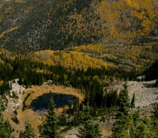
Columbine
Lake is at the headwaters of the Lake Fork of Columbine Creek. It is within the Columbine-Hondo
Wilderness Study Area.
Send questions and comments to dscott@themarblesculptor.com