Latir
Falls
See on Youtube: https://www.youtube.com/watch?v=1DEyVFQ7waE
Latir Falls is in an amazingly
beautiful place called Rio Costilla Park
Rio Costilla Park
Rio Costilla Park is open
to the public …I rate this place as a “must-see”
See: http://www.riocostillapark.net/camping-fishing/
For rates and info
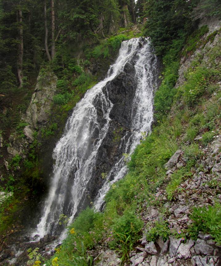
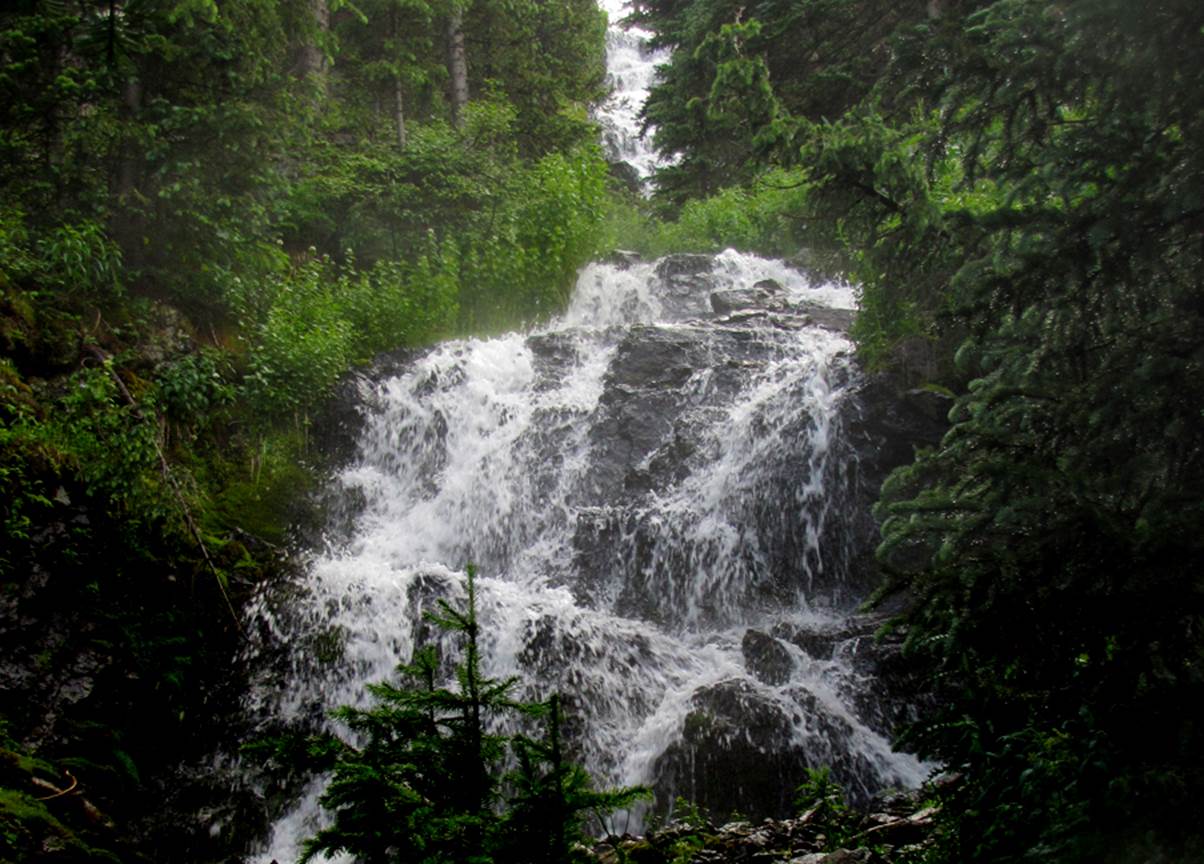
Fifty foot high Latir Falls is found
between Latir Lakes number three and four
It was raining when the shutter clicked…sorry about a couple
raindrops on my camera lens
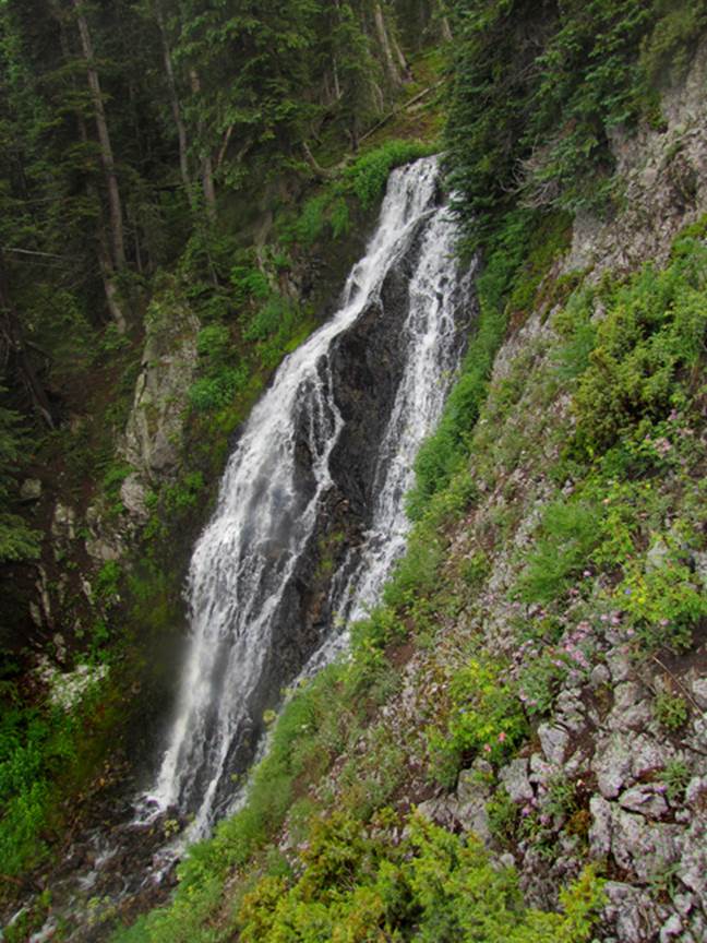
This photo shows the small 15’ high tier just below the 50’
high main waterfall
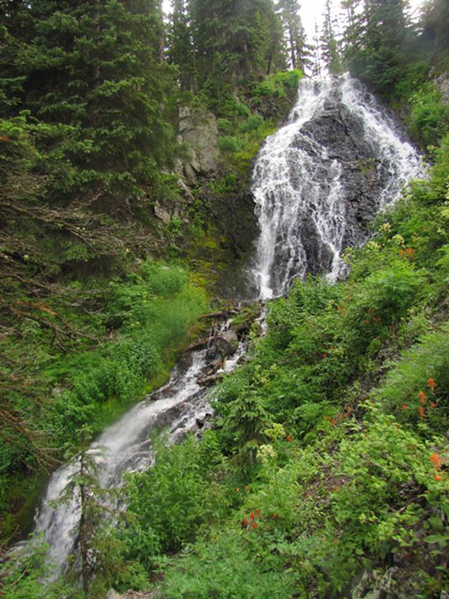
This photo shows a 25’ high tier a short ways downstream…
notice you can still see the main Latir Falls in the
background
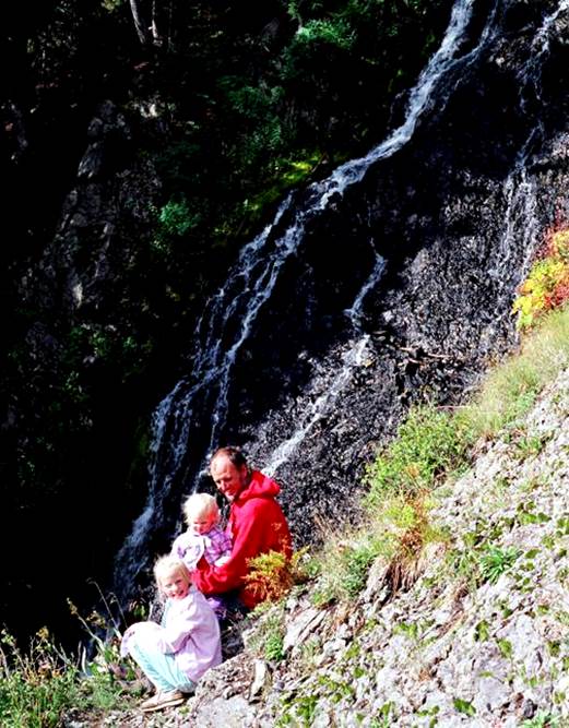
The photo below shows my girls and I there during low-water
…the worst drought I have seen in my life-time 2002
beta facts:
name- Latir Falls
height- 50’
elevation- 11,500’
GPS coordinates- ±36°48.210’N 105°27.540’W
flow- perennial
season- summer and fall
accommodations- nice campgrounds
ownership- private – Costilla Land and Cattle Co.
access- ¼ mile hike above Latir
Lake #3
nearest town- Costilla is about 20 miles north of
here
fun fact- you are on top of the world…!!!
essay bro:
The northern most trout stream in New
Mexico’s Sangre de Cristo (blood of Christ) mountains is Costilla Creek. Its
western most tributary is Latir Creek whose source is
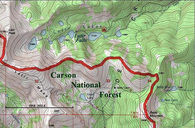
a chain of nine timberline lakes – Latir Lakes. That topo map below look
like a real “Dream Land”. It is
Rio Costilla Park area. You will find Latir Falls making its 50-foot leap among other cascades
between lake #3 and lake #4.
Latir Creek lies on private land… from end to
end. Costilla Land and Cattle Company of
Costilla, NM invites you to visit, camp, fish, hunt, shoot photos or just kick
back and relax… and you will find their fee extremely reasonable. Take highway 68 north of Taos 40 miles, at
Costilla turn left and continue past Amalia 9 miles. Even their gate is beautiful.
All 12 lakes on
this map below have native Rio Grande Cutthroat Trout.
Enhanced USGS 7.5’ topo map
Send questions and comments to art@DougScottArt.com