La Manga Falls
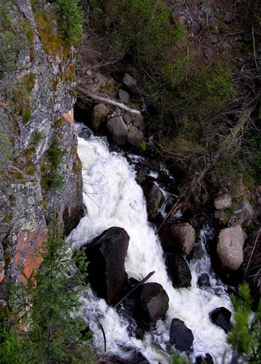
La Manga Falls (shown here in high water-
snow melt season ) drops 30’ while squeezed thru sheer-walls of bedrock in the
middle of a half mile of continuous cascades
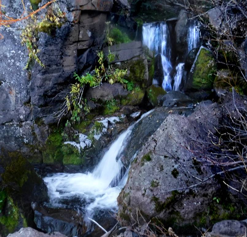
I finally got in to see La Manga Falls
during low water. It looks quite
different than in the high water shown above.
This low flow photo below, shows a two-tiered waterfall approximately
20’ high – about 10 feet each tier. This
is followed by a ten foot high, very steep cascade that is not shown in this
photo. All of this caused me to think it
was a 30’ high waterfall during high water.
beta facts:
name- La Manga Falls
height- maybe about 20’ high in 2 tiers
elevation- 9550’
GPS coordinates- ±37°06.443’N 106°22.502’W
flow- Colorado style
season- may thru oct… earlier is better
accommodations- …paved State Hwy #17 is
right there …go get what-ever-you-want
ownership- Rio Grande National Forest
access- ¼ mile of extreme scramble… some on
all-fours
nearest town- Chama is about 19 miles south
of here
fun fact- …close to the road
Enhanced
USGS Topo 7.5’ topo map
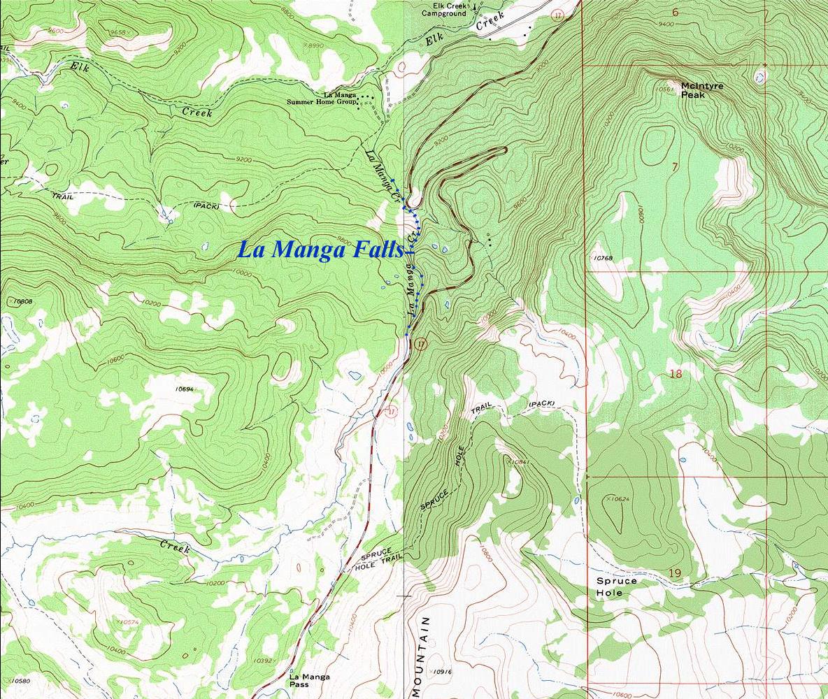
______ONE – MILE______
Send questions and comments to dscott@TheMarbleSculptor.com