El Salto (Spanish… The Jump or
leap)
During
extreme drought these waterfalls have occasionally dried up
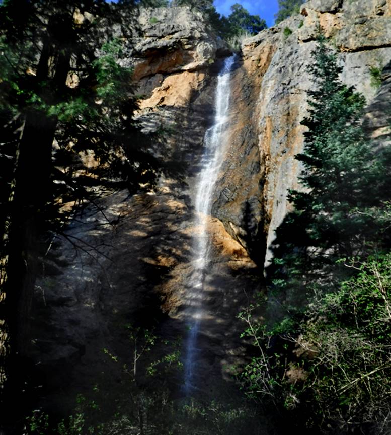
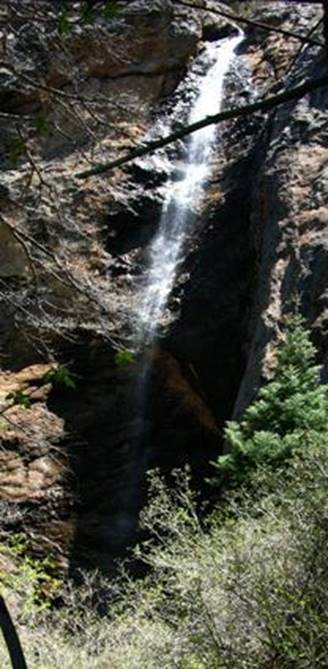
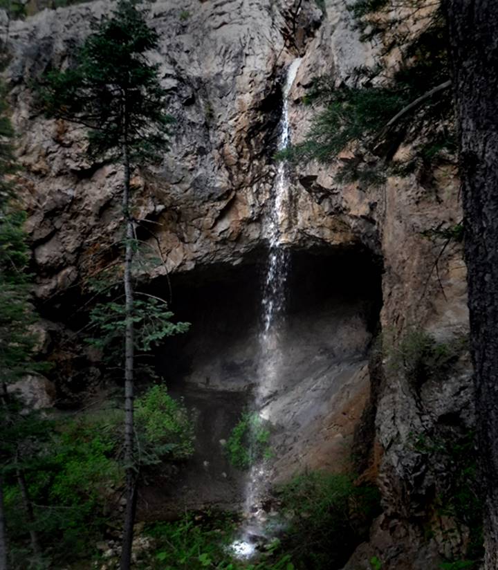
150 foot high El Salto
Falls #5 – glows in the evening sun
9 falls in all
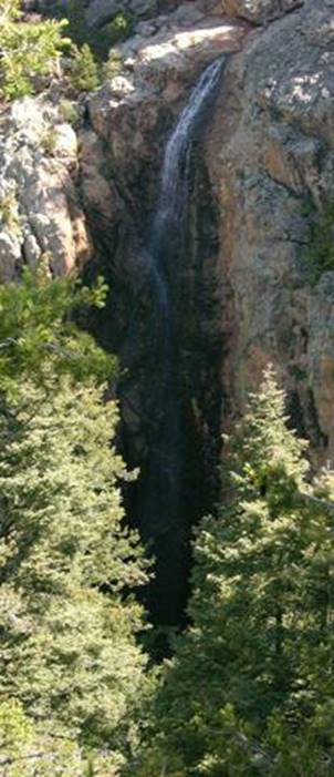
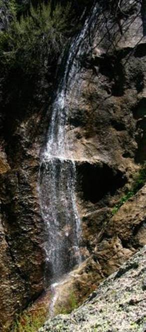
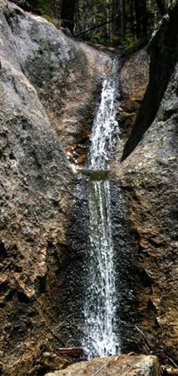
El Salto Falls #1 is most downstream… 50’ high #2 is about 150 feet
high #3 falls about
80 feet in consecutive cascades.
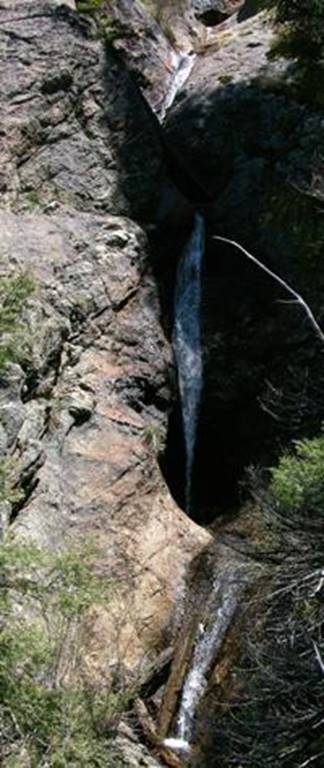
#4drops about100’ with the bottom 40’ sheer #5 is about
150 feet high
#6 drops about 40 feet
#7 descends over 100’ in 5 separate drops #8 photo is unavailable #9 falls 30
feet in 2 parts
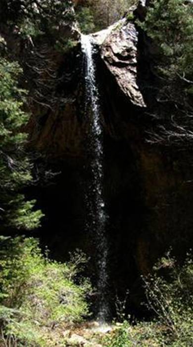
Below is a Nate Bartnick
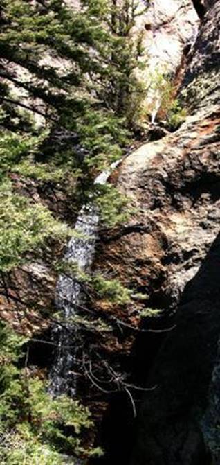
Photo of El Salto Falls #1
beta facts:
name- El Salto Falls
height- The highest is #2 and #5 at about 150’
elevation- ±9000’
GPS coordinates- ±36°32.000’N 105°32.100’W
flow- perennial spring flow
season- anytime but you might need
snowshoes in the winter.
accommodations- none
ownership- private land
access- 100-yard hike to the first falls
from the end of the dirt road where you park.
nearest town- Arroyo Seco is a couple miles
southwest of here.
fun fact- These are very high and beautiful
waterfalls.
essay bro:
El Salto Creek above Arroyo Seco, NM about
7 miles north of Taos, has as grand of a collection of waterfalls as you will
find anywhere in New Mexico. All nine
falls are on private land. Permits to
visit cost $20 per person (children are free) and are convenient to obtain at a
pay box near the trail-head parking. PLEASE PAY. I am glad to pay. These
folks own a piece of beautiful New Mexico and they are kind enough to share it
with us. Pay the small fee, obey their
rules, DO NOT TRASH THE PLACE and enjoy the falls.
There is a bright red pay box at the trailhead parking area with forms
available to fill out: 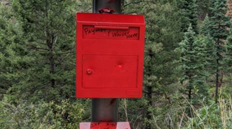
I had always heard that there were seven
falls… but I found nine… and who knows, maybe you will find more.
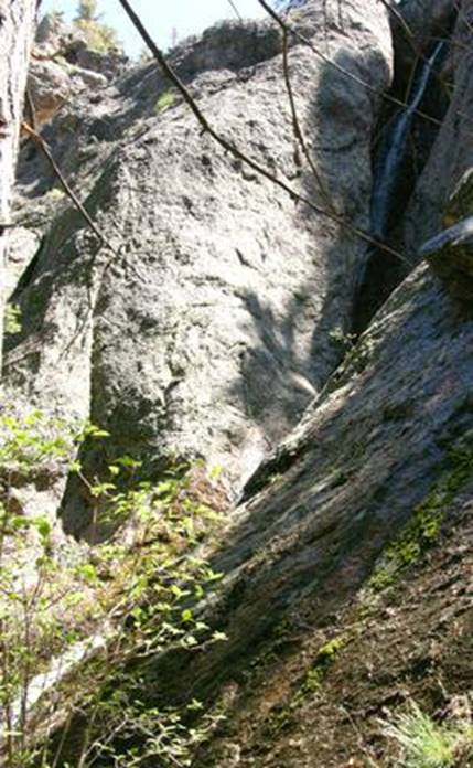
A nice, obvious but unmarked trail leads
about a hundred yards from where you park to the first falls. The hearty sort can scramble their way up to
the left of these waterfalls (looking upstream)… from
there… ah… er… you are kind of on your own.
This is a special place… a shining jewel in the Taos area’s crown. Cliff climbing is NOT ALLOWED so if you do
climb, it is your own risk…!!!
These same
kind people also allow hiking up the nearby Arroyo Seco Creek which they also
own. Their sign calls it Cañoncito Trail while our map labels it as Seco Trail. High rocky peak tower 3000 feet
overhead. This trail also continues up
into the Wheeler Peak Wilderness Area.
Right click
save as on our map below… print a hard copy of your own.
Enhanced USGS 7.5’ topo map
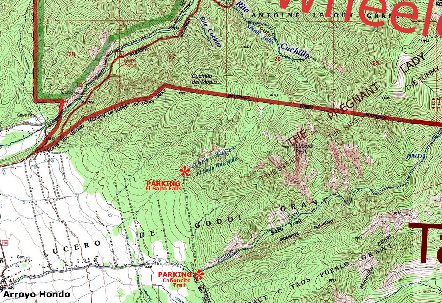
one
mile = approximately2.5 inches
Send questions and comments to doug.vivian@yahoo.com