Brazel
Falls
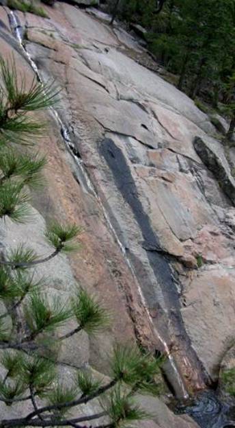
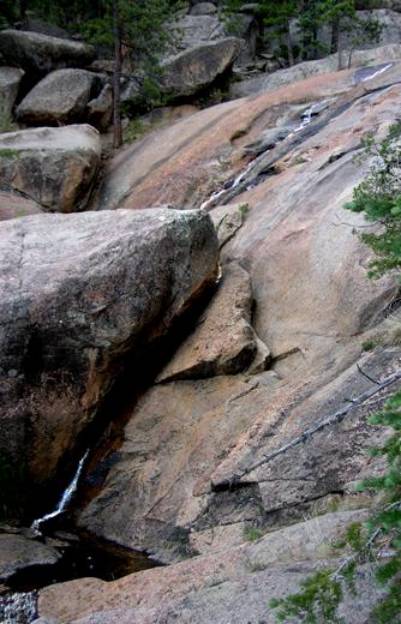
Brazel Falls slides down
a 300’ high steeply sloped granite wall.
beta facts:
name- Brazel Falls
height- 300’
elevation- 8800’
GPS coordinates- ± 35°36.540 105°31.545’W
flow- small spring flow
season- summer and fall… earlier is better
accommodations- none
ownership- Santa Fe National Forest
access- a one-mile hike from where forest
road #203 crosses Rita Ruidoso
nearest town- Pecos is 16 miles west of
here
fun fact- a mammoth, hard rock granite
outcropping
essay bro:
A legal way into Falls Creek Falls is to continue to the end of even the jeep road portion of forest road #203. Then a three-mile hike dropping down into Falls Creek Canyon will bring you to Falls Creek Falls. This will not be easy because there is no trail. Please make a copy of my map below and enjoy using it.
See
also: Falls Creek Falls
Enhanced National Geographic 7.5’ topo map
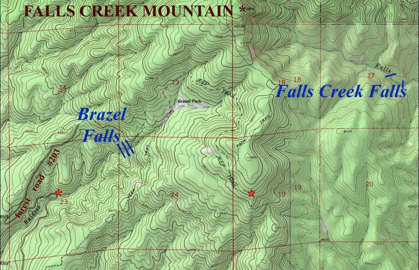
____________one
mile___________
Send questions and comments to doug.vivian@yahoo.com