Way
Upper Frijoles Falls
AKA Staircase
Falls
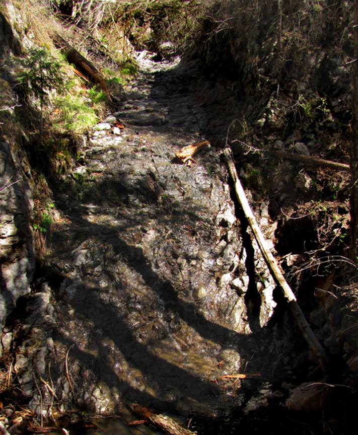
Staircase Falls way up the western fork of
the Rito de los Frijoles
headwaters is a stair-stepping, tiered waterfall. The above photo shows the 30’ high drop
during very low water flow, first of May 2014.
This waterfall has many other tiers…none are as high as this falls.
beta facts:
name- I call it Staircase Falls because it
resembles a staircase… please feel free to call it whatever name you like
height- many ten-foot high drops and one 30
footer
elevation- 8320’
GPS coordinates- ±35°49.904’N 106°25.131’W
flow- perennial
season- any
accommodations- none
ownership- Bandelier National Park
access- I hiked down from Cerro Grande Trailhead
Parking Area
nearest town- Los Alamos is about 6.5 miles
northwest of here
fun fact- Frijoles Falls Upper and Lower are
very well known about 12 miles downstream
essay bro
Hiking from Cerro Grande Trailhead
downstream to Upper Frijoles Crossing is a pleasant day-hike…even since the Los
Conchos Fire. There are two natural
arches just upstream from Upper Frijoles Crossing Trail at near the end of this
hike. Please see the photos of these
arches below the map.
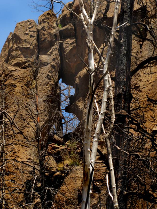
Enhanced
USGS 7.5’ topo map
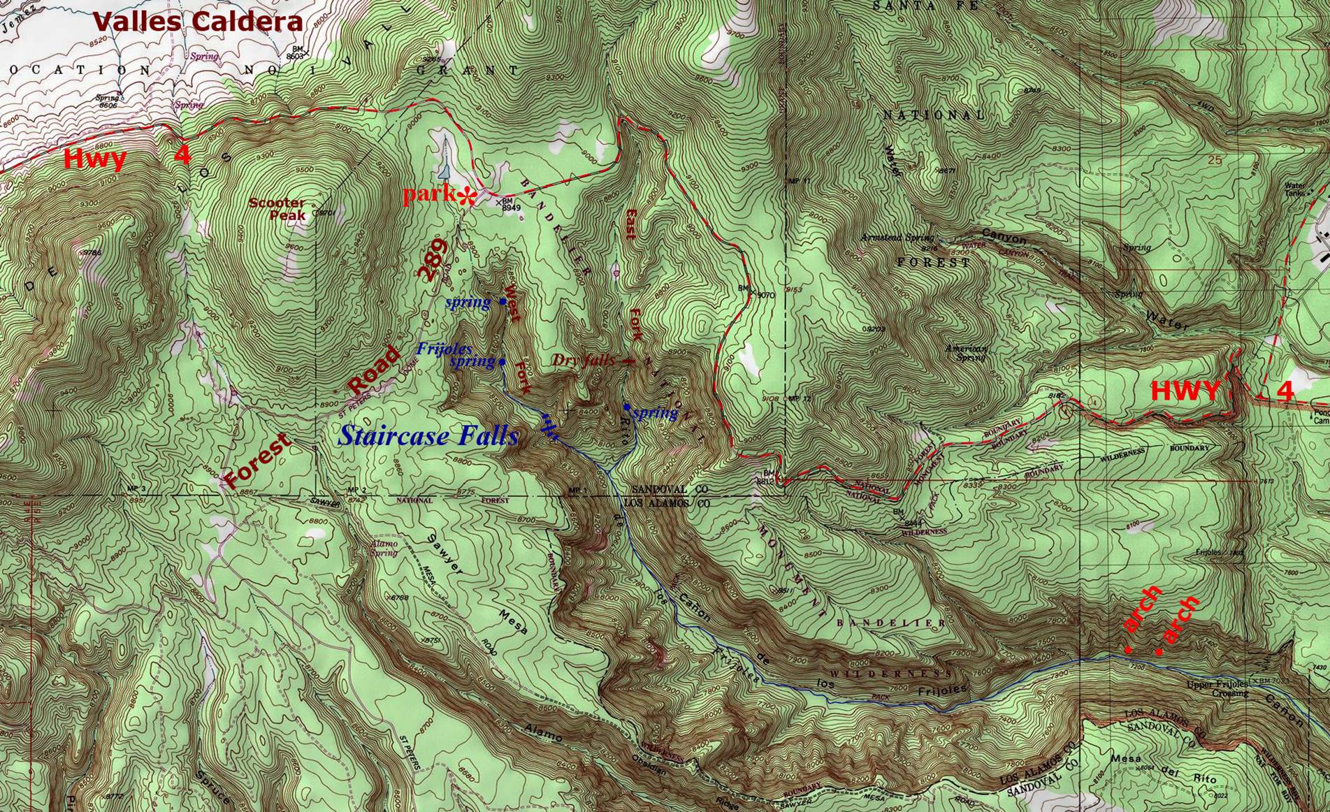
This arch is slightly upstream from the arch below. This arch is shaped like a figure 8…but the dark, burnt tree behind it makes it look like the capital letter B. it is about ten-feet high by maybe 6 feet wide. It’s GPS cords are: 35°49.003’N 106°22.319’W at 7273’ elevation
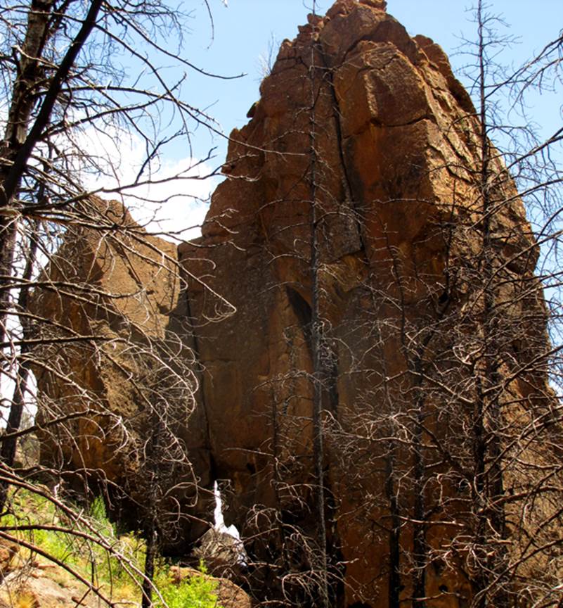
This arch is just east of the above arch… at: 35°49.023’N 106°22.102’W and at 7326’ elevation. It is about ten feet wide and 12 feet high.
Send questions and comments to dscott@themarblesculptor.com