Santiago Falls

Santiago Falls has 2 tiers... this log-choked 20’ drop
above... along with the 15’ high lower-tier shown in the photos below
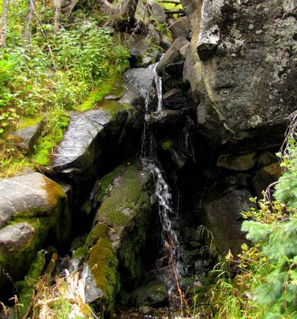
This photo above on the left was shot during an extreme
drought. The photo above-right is of
that same tier, with more water-flow
Upper Santiago Falls (see map below)
...pours down thru a very steep and dramatic gorge upstream from Santiago
Lake...! ! !
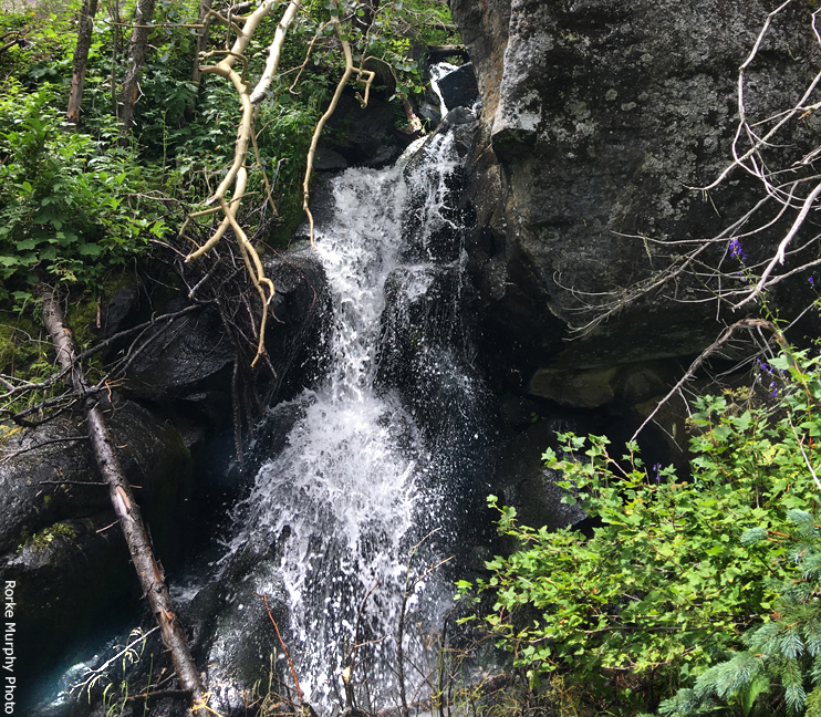
The Lower Santiago Waterfalls shown on the
map below are quite small..... less than 10’ high.....
and they are found within a very steep brushy gorge
with no trail access.
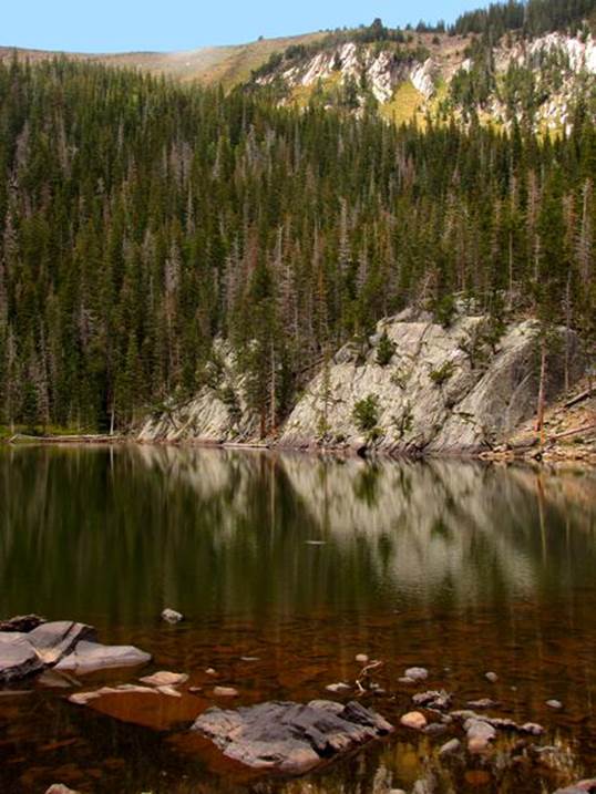
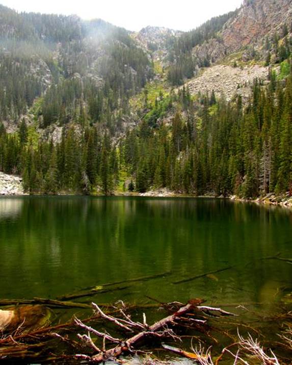
Photos of the nearby lakes are at
the bottom of this page.
beta facts:
name- Santiago Falls
height- 20’ and 15’
elevation- 10,240’
GPS coordinates- ±35°57.540’N 105°28.500’W aprox.
flow- perennial
season- late May/early June is best but it is okay
until November
accommodations- none
ownership- Santa Fe National Forest
access- is difficult
nearest town- Mora is about 9 air-miles east of
here
interesting fact- This place is blocked off from the
east, by private land
essay bro
Within the last ten to twenty years, the
National Forest has both acquired land and received land
donations, that has greatly increased the amount of public land in this
area. Our map below shows the current
land ownership status. Compare this with
your USFS maps and you will see that there is now more public land here than
there has been in the past. However,
public lands still do not connect well with public road right-of-ways..... and thus..... this area is still
quite difficult to access.
Coming in from Middle Fork Casa Lake or
Sparks Trailhead are still the only clean and legal ways I know of to access
Santiago, Pacheco and Enchanted Lakes....... AND these trailheads are long
miles away and can take a couple days or so reaching these lakes.. Coming in from the
east is blocked by No Trespassing signs and locked gates... ah... good
luck. Hopefully soon Public Lands will
contact public roads and we the public can freely hike into this wonderful area
from the east.
We have heard stories of 4WD vehicles
finding a way around the locked gate at the end of the Morphy
Lake road CR A007 (see our map below.)
From our observations hiking here, we have seen evidence that these
stories have merit...... as we have seen jeep tracks ascending the Enchanted
Lake Trail up to near 9000’ elevation.
But it looks tuff.......
CR A005 has no legal access, that we know of.
Enhanced
USGS 7.5’ topo map
Santiago Lake
Pacheco Lake

Enchanted Lake
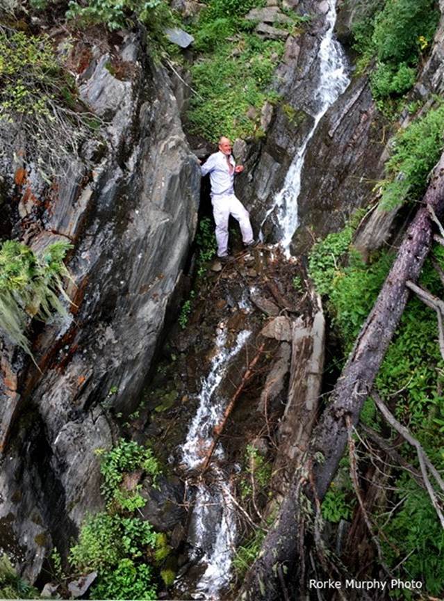
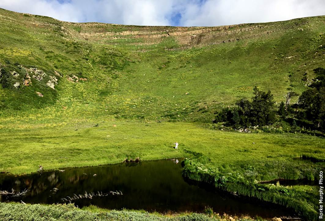
Yo frin dressed in white, standing by Upper Santiago Ponds
Send questions and comments to dscott@TheMarbleSculptor.com