B-1 Sanostee Falls
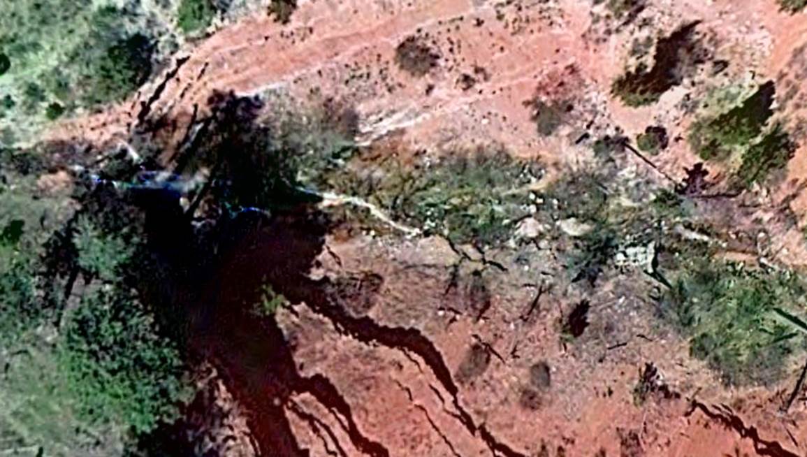
Sanostee Falls shown above as it appears on Google
Satellite... beautifully situated in red sandstone and decorated with
ponderosas...
beta facts:
name- Sanostee
Falls
height- 100’ based on study of Google Satellite
and USGS Topos
elevation- 7850’
GPS coordinates- ±36°21.852’N 109°01.523’W
flow- perennial
season- spring, summer and fall
accommodations- none
ownership- Navajo Nation Chuska
Mountains
access- unknown
nearest town- Sanostee,
NM
fun fact- maybe a camping permit will suffice...???
essay bro
We have yet to visit this wonderful
waterfall and would never do so without proper permission from the Navajo
Nation Office at Window Rock, Az.
Enhanced USGS topo map
No map available
Send questions and comments to dscott@themarblesculptor.com