Quemazon Falls
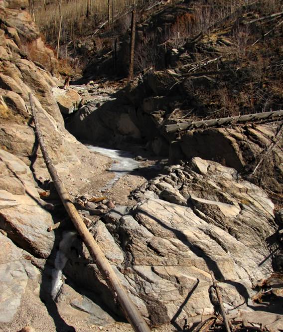
20’ Quemazon
Falls has two 10’ tiers. This photo is
taken during a bad drought and after the Los Conchas
Fire completely burned out this entire basin.
Major flooding is now causing extreme stilting.
beta facts:
name- Quemazon Falls
height- 20’
elevation- 8220’
GPS coordinates- ±35°54.084’N 106°22.222’W
flow- perennial
season- anytime… but April and May are best
accommodations- none
ownership- Santa Fe National Forest
access- 3.5-mile hike…and the last half-mile
is off-trail and very steep
nearest town- Los Alamos is about 4 miles east of
here
unfortunate fact- Los Conchas
Fire has ruined this canyon for decades to come
essay bro
The Quemazon
Trail above the Los Alamos Watertanks is still very
nice, even after the many fires… but Quemazon Canyon
is totally scorched with all trees and shrubs gone.
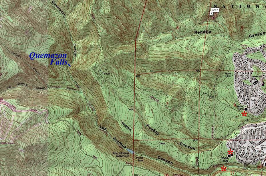
Enhanced
USGS 7.5’ topo map
Send questions and comments to dscott@TheMarbleSculptor.com