Manzano
Falls
Manzano
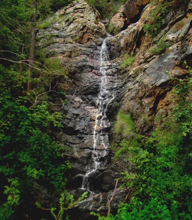
Falls is over 100’ high and has 3 tiers.
This photo shows the 40’ high lower tier during the drought of
2013. I hope to see it some day soon
when it has higher water flow.
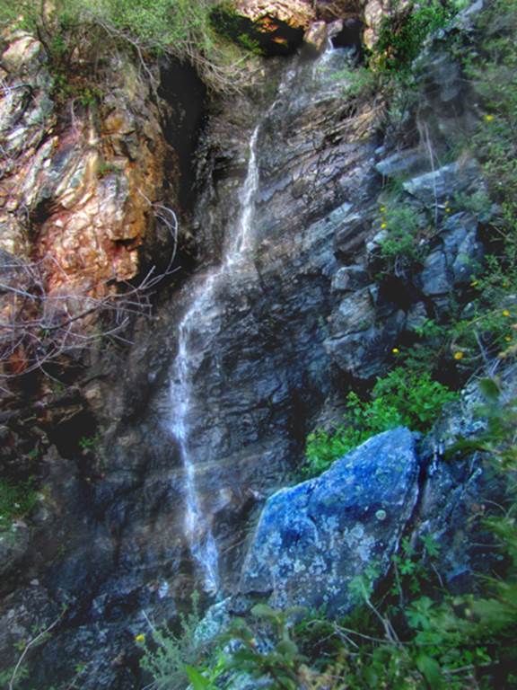
Unfortunately the middle tier was dry, but I could hear water gurgling
behind the rocks. A 35’ high upper tier
appears in the photo below...and I could see another smaller tier above, but I
was pushing sundown and felt I could not continue any farther.
beta facts:
name- Manzano Falls
height- 100+ feet
elevation- 8000’
GPS coordinates- ±34°34.599’N 106°26.593’W
flow- perennial spring fed
season- Easter to Thanksgiving
ownership- Cibola National Forest
access- see essay bro... below
nearest town- this falls is 13-miles west
of Mountainair as the birds fly...
fun fact- ...this is very hard to get to,
but it’s a goodern...!!!
essay bro
Hike a couple hundred yards up Pine Shadow
Trail #170A. After crossing the usually
dry creek bed, turn north a half-mile or more on an old unmarked trail. This trail is not too bad. When this trail dead ends, drop into the
creek bed and hack your way up to the Falls.
The left-hand side of the waterfall is climb-able to access above. This place is quite impressive.
Enhanced
USGS 7.5’ topo map
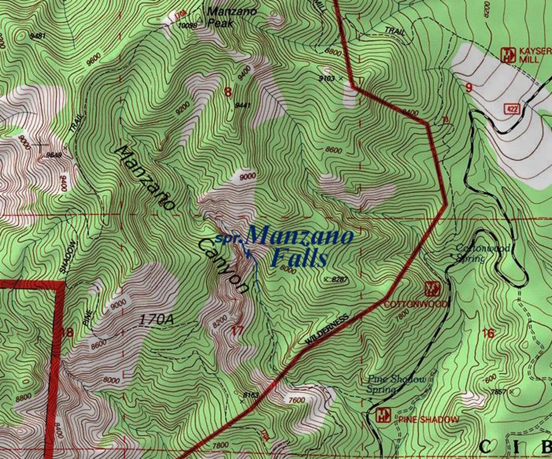
the
thin, dotted red section lines above show one mile squares
Send questions and comments to dscott@themarblesculptor.com