Fort
Stanton Falls
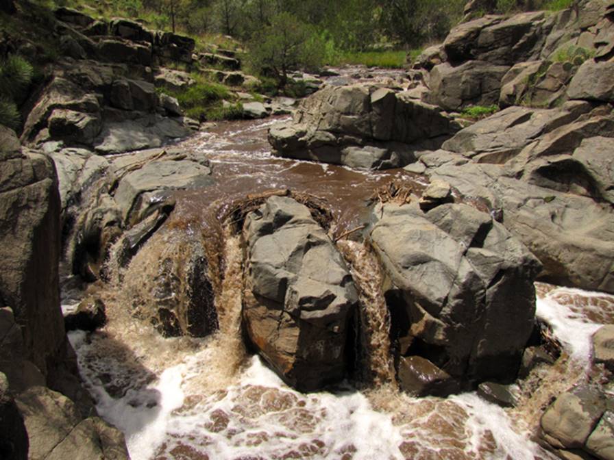
The Rio Bonito flowing over the 12’ high
lower tier of Fort Stanton Falls, in this photo, is running chocolate after a
heavy summer rain. Resent forest fire
are causing a lot of erosion since 2012.
A 4’-high, upper tier is unseen in these photos.
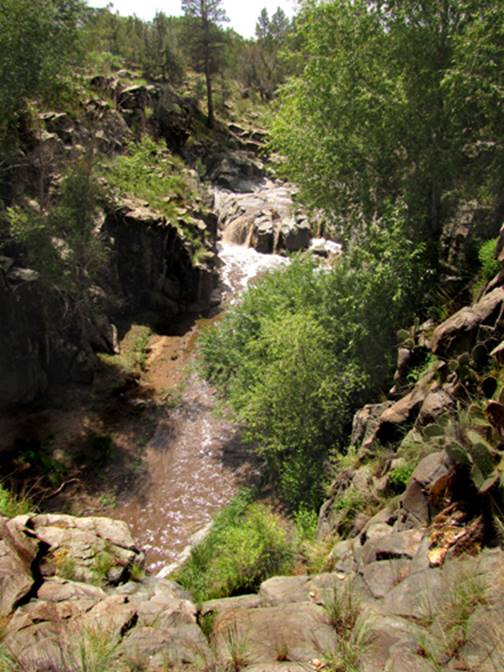
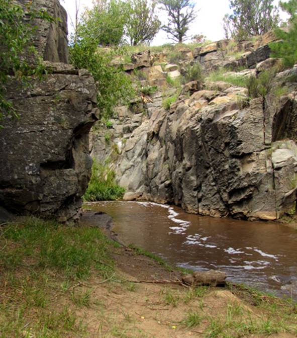
A small but beautiful sheer-wall canyon
runs out below the falls.
beta facts:
name- Fort Stanton
Falls
height- 15 feet in 2 tiers
elevation- 6500’
GPS coordinates- ±33°27.764’N 105°35.259’W
flow- perennial
season- anytime
ownership- unknown private land
access- a couple hundred
yard walk about Upper Rio Bonito Road Trailhead
nearest town- this falls
is a couple miles or more west of Fort Stanton
fun fact- ...a short hike ...to an
interesting waterfall...!!!
Enhanced
USGS 7.5’ topo map
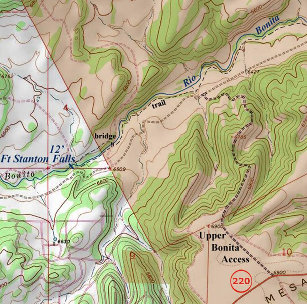
the
thin red section lines above show one mile
Send questions and comments to doug.vivian@yahoo.com