Fall Canyon Falls AKA Fall Creek Falls
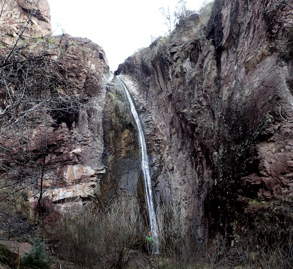
Fall Canyon Falls is a 50’ high
beauty -Robert Southwick Photo
...and
another photo below showing a little more water flow...
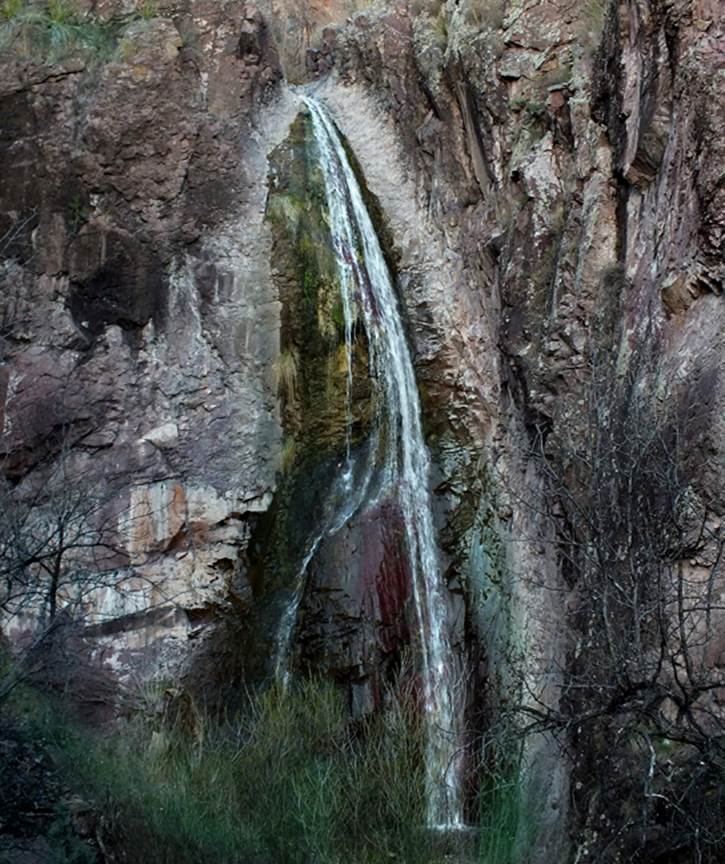
Nate
Bartnick Photo
beta facts:
name- Fall Canyon Falls
height- 50’
elevation- 5300’
GPS coordinates- ±33°03.794’N 108°17.607’W
flow- a perennial spring feeds this falls from
above
season- any... but March and April are best
accommodations- none –Gila Wilderness
ownership- Gila National Forest
access- best accessed by river runners floating
the Gila, or via Sheep Corral Trail 231, or Spring Canyon Trail 247
nearest town- Gila Hot Springs is 11 north of
here, Silver City is 22 miles south of here
fun fact- this extreme beauty sees extremely
few visitors
essay bro:
Thanx Robert... for supplying
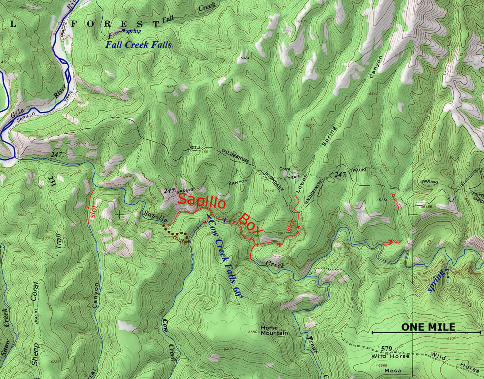
such a nice photo. Fall Creek Falls appears on the map below, in
the upper left-hand corner.
Enhanced
USGS 7.5’ topo map
Send questions and
comments to doug.vivian@yahoo.com