Chloride Falls
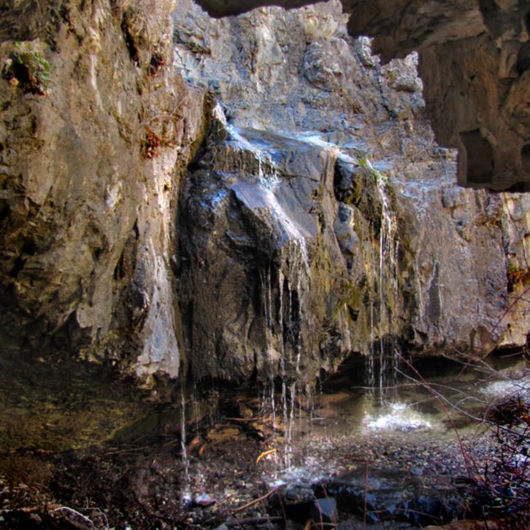
In the photos above and below,
Chloride Falls pours over an 18 foot high cliff within a scenic and historic
mining canyon
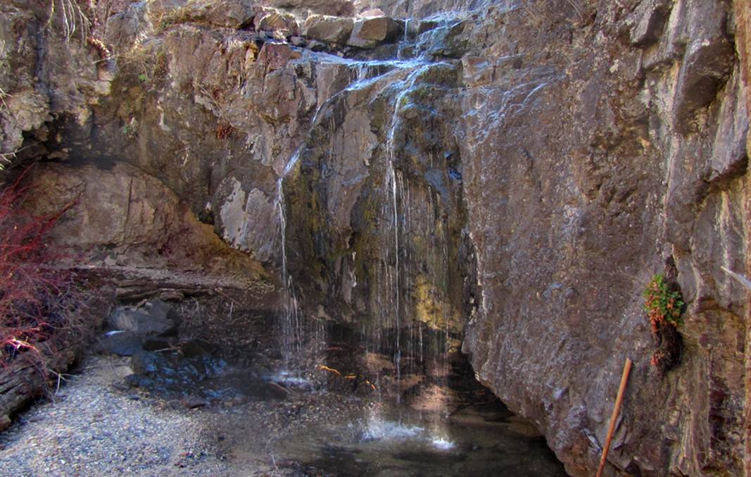
...a beautiful 10’ falls drops into a deep pool...
we were able to climb around it at the far left hand side of the photo below
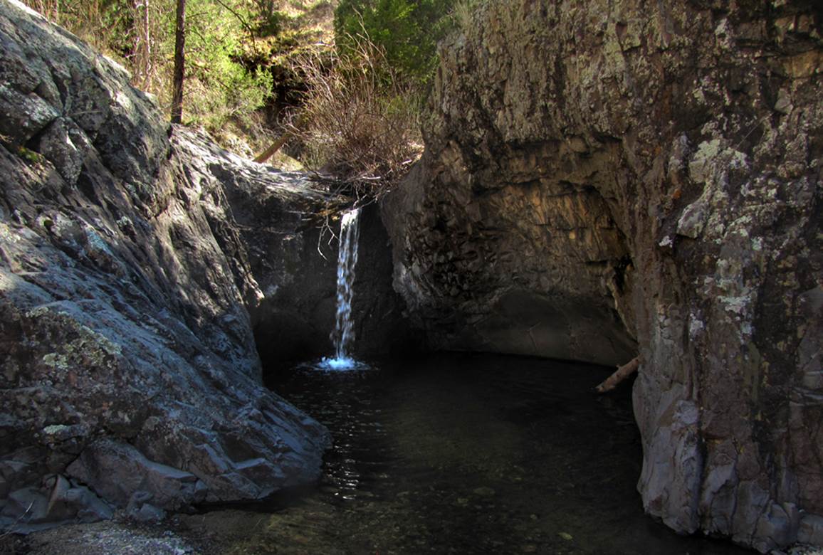
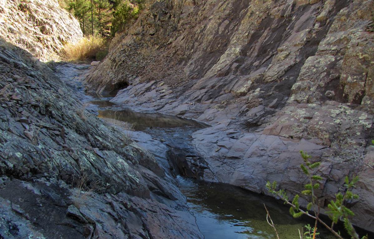
This 8’ falls below is the first one we
came to when hiking upstream from parking below... an old concrete dam remains
on top of it.
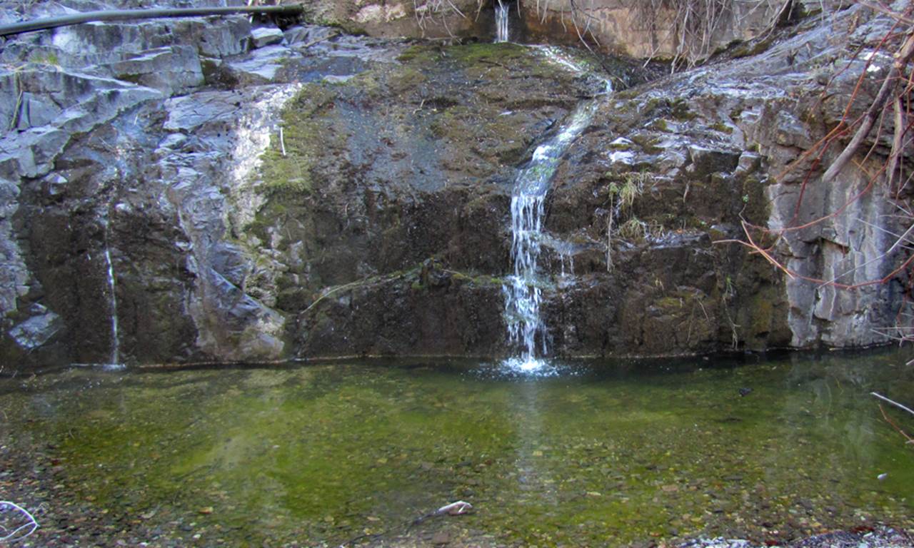
...nice to walk along the stream flowing
over clean and smooth bedrock...
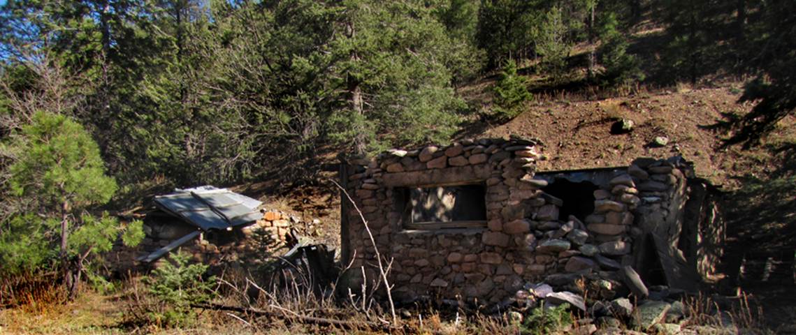
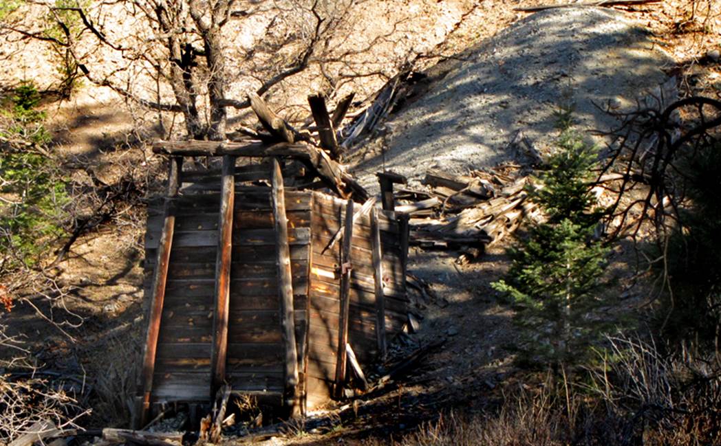
many intact mining relics abound, as shown
in these last three photos
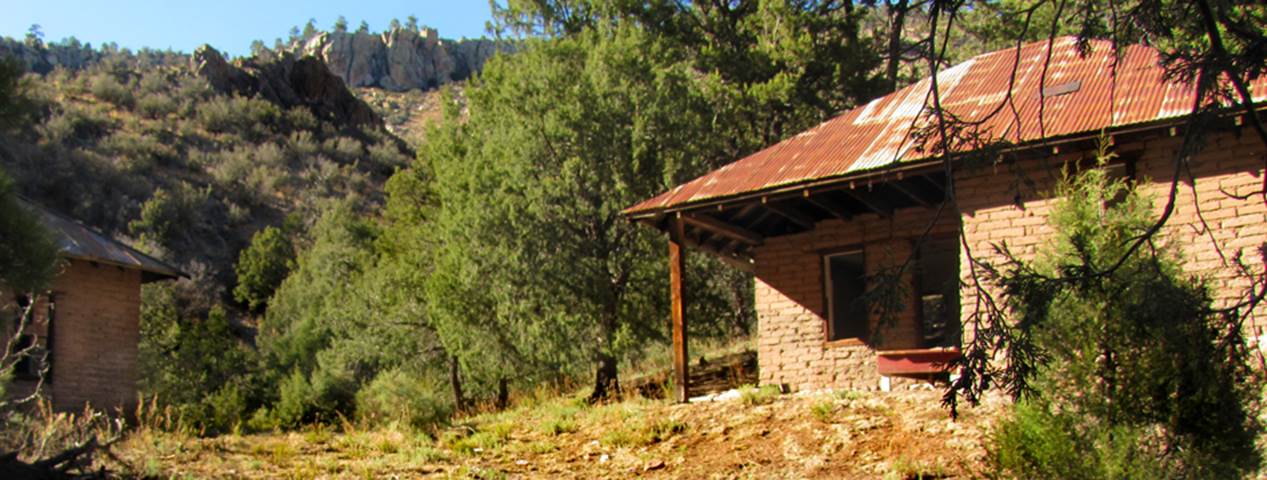
Homes and buildings... even a small smelter
furnace
this enclosed wooden headframe could tell
many a tale...
beta facts:
name- Chloride Creek Falls
height- a half dozen waterfalls up to 18’
high
elevation- 7500’
GPS coordinates- ±33°20.089’N 107°49.012’W
flow- this stream shrinks to very small
intermittent springs during dry times
season- March-April as well as
September-October
accommodations- at the nearby town of
Chloride
ownership- Gila National Forest
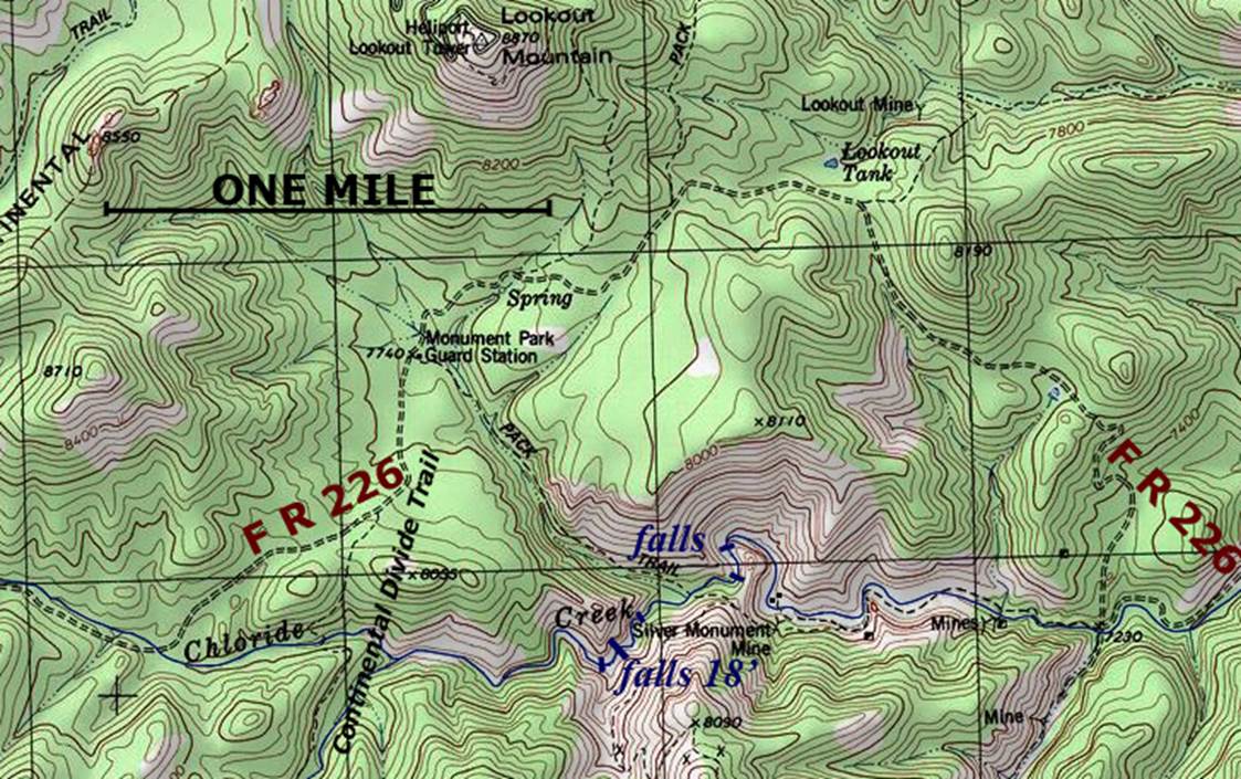
access- from several different places along
Gila Forest road # 226 –see map below
nearest town- Chloride is about 10 miles
east of here
fun fact- this is a funky place
Enhanced
USGS 7.5’ topo map
Send questions and
comments to art@DougScottArt.com