Cavern Falls
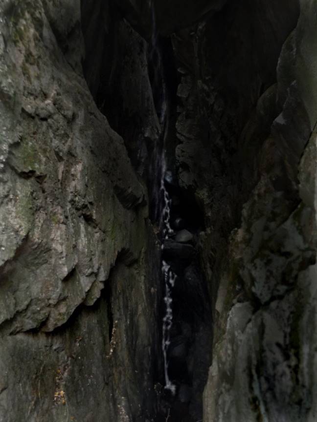
Cavern Falls is roughly 100’ high. Cavern Falls Creek leaks down thru it’s own creek-bed…… pouring it’s
water thru the earth and coming out below as a waterfall, thru the ceiling
(where no hole exists) into the narrow and dark cavern below. The upper half of Cavern Falls is a sheer,
“free-fall” - filling the cavern with mist and loud reverberation of thrilling
“falling-waters” sounds…!!! The lower
half of Cavern Falls is a dancing cascade, exiting the cavern down solid
granite bedrock….!!!!
Wouldn’t this 100-foot
high granite monolith look beautiful with a white frothy waterfall
leaping down it’s bold and beautiful face….???
There is a waterfall here but it is hidden deep within that dark narrow
crack. The granite rock kisses at the
mid-way point… closing off the middle and leaving an opening above as well as
below… a natural bridge if you will.
Cavern Falls cascades out into the open, near the bottom of this dark
crevasse.
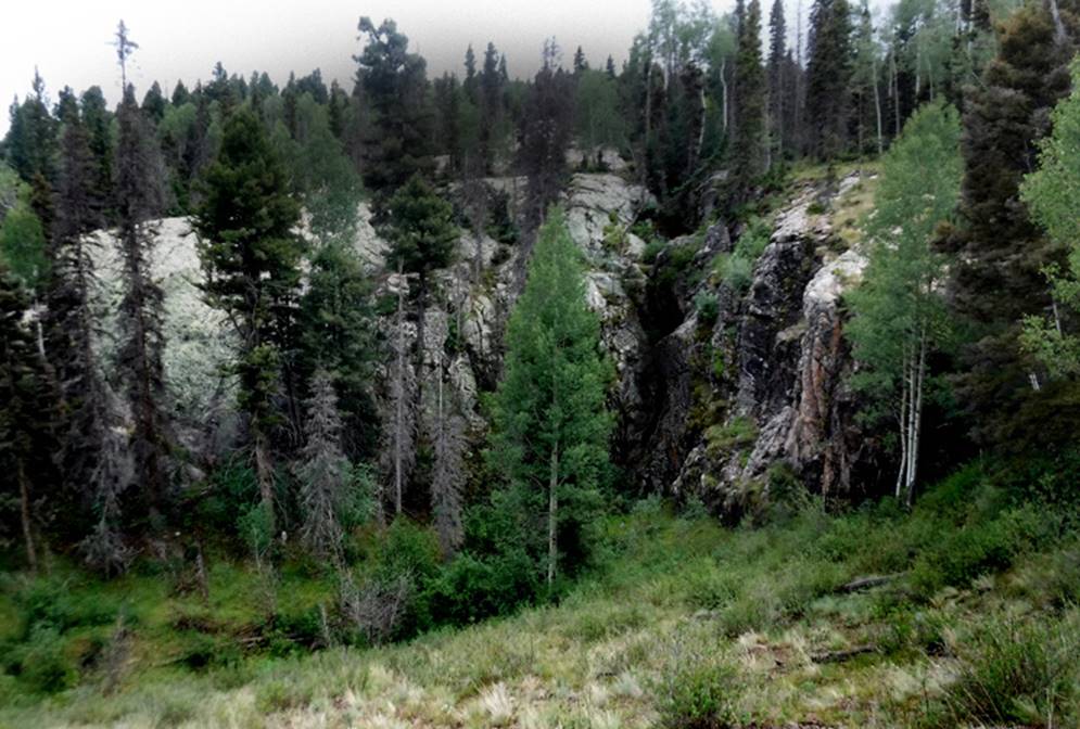
…the trees here are HUGE and healthy…
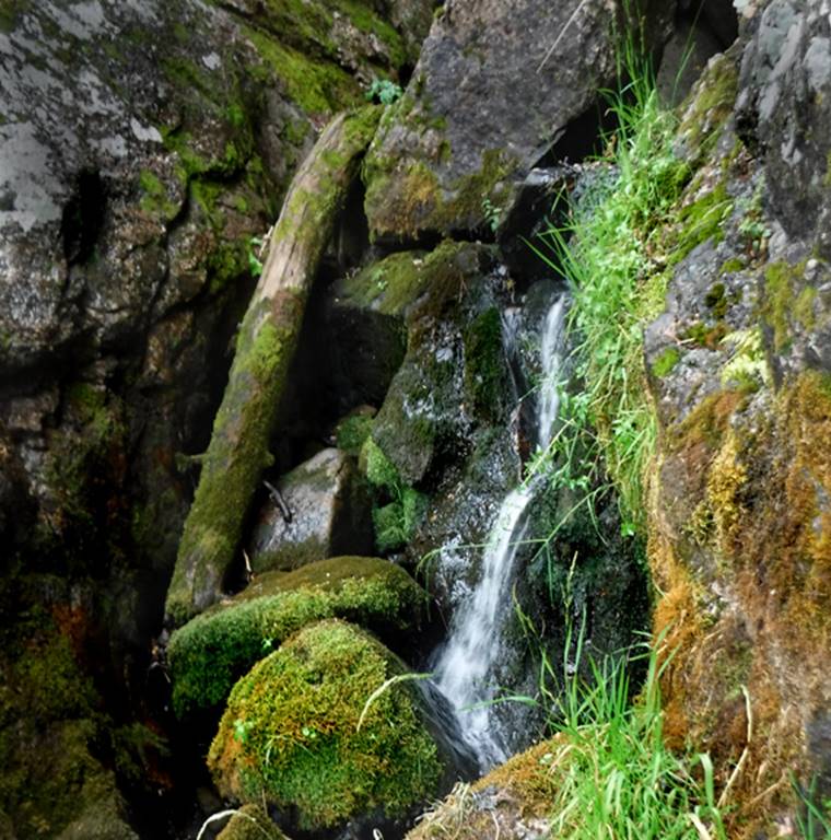
…the last little waterfall of the cascades…
beta facts:
name- Cavern Falls
height- 100 feet est. – upper half a sheer
free-fall and the lower half is bedrock cascades
elevation- 9500’
GPS coordinates- ±36°55.830’N 106°18.530’W
flow- perennial
season- summer and fall
accommodations- Cruses Basin Wilderness
Area
ownership- Carson National Forest
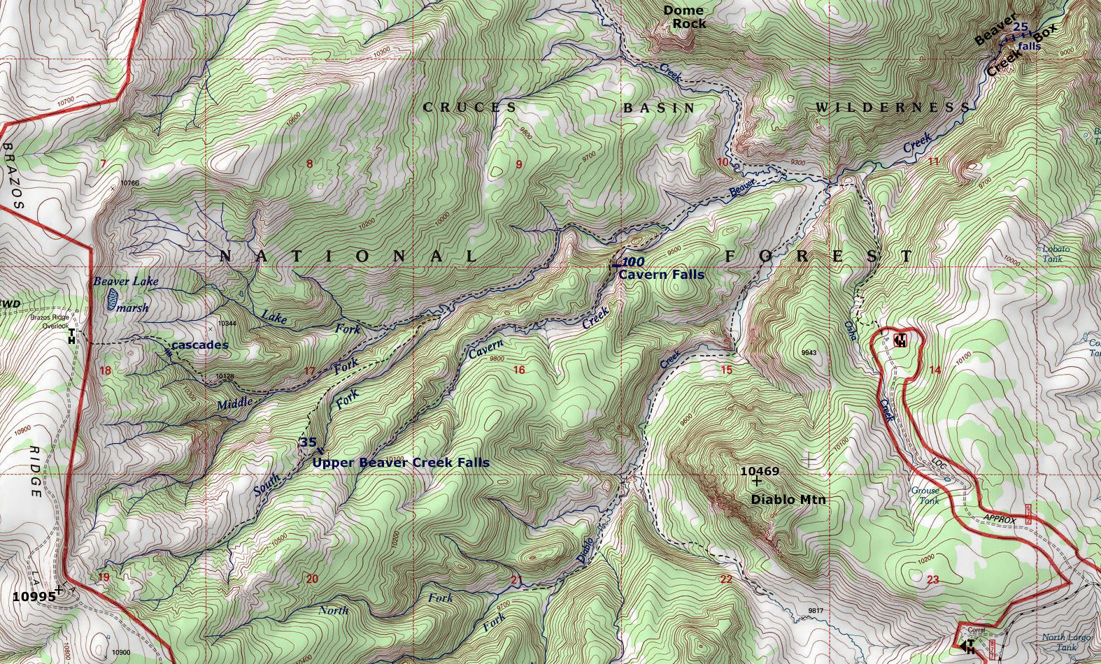
access- from Forest Road 87, drive FR 572
north for two miles to Osha Trailhead and follow the trails shown on the map
below. It’s a 2-mile hike one way.
nearest town- Chama is about 17 miles west
of here
fun fact- yes… it is a mildly dangerous
place but beautiful and easy to get to… so enjoy and be careful…!!!
essay bro
I
do not know why it took me sooooo long to discover
Cavern Falls. My waterfall radar
messaged me… years ago… that there was a waterfall there. But finally on August 18th of our
year 2020 ….I finally mader
in thar…!!! -and this was
exciting….!!!! Now I cannot wait to
visit her again during HIGH WATER…!!!
Like at snow-melt run-off time, during late May or early June. These photos above were shot a few days ago
and this year’s rainy season is wimpy… very little rain has fallen this summer
and this month of August, is New Mexico’s rainiest month of the year…!!!! However, this summer has been quite dry,
which explains why there is so little water flowing in these photos above.
I
discovered this wonderful waterfall from it’s top
side, after hiking Cavern Falls Creek Trail down from 35’ high- Upper Beaver
Creek Falls. You can observe that route
on our map below. The trail veers around
to the north of the falls on a smooth grassy hillside. The water flow was low and the cascades were
gentle enough, allowing me to climb up into the cavern from below. This was exciting and amazing.
This photo below shows the start of Cavern
Falls Canyon Trail at Beaver Creek.
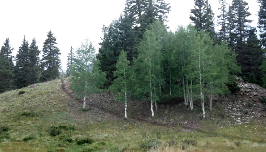
Heading up Cavern Falls Canyon from Beaver Creek, the trail immediately
climbs up this small hill with this sweet little aspen grove. Cavern Falls is a quarter of a mile upstream
from the Beaver Creek confluence. Cavern
Falls Canyon Trail runs the entire 2.5-mile length of Cavern Falls Canyon. This is a good route to follow when hiking
between Cavern Falls and 35’ high- Upper Beaver Creek Falls (see map below).
Right-click-save-as
on our map below, to print your own “hand-held” copy for your hike
Enhanced USGS topo map
Send questions and comments to dscott@themarblesculptor.com