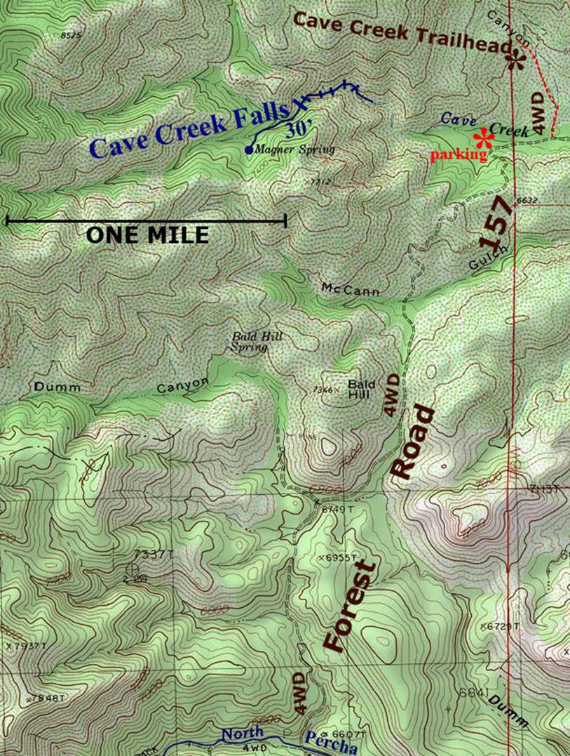
Cave Creek Falls
Cave Creek has many waterfalls... but this 20 footer dropping
into a slot canyon is a favorite- it is second from the top on the map
below
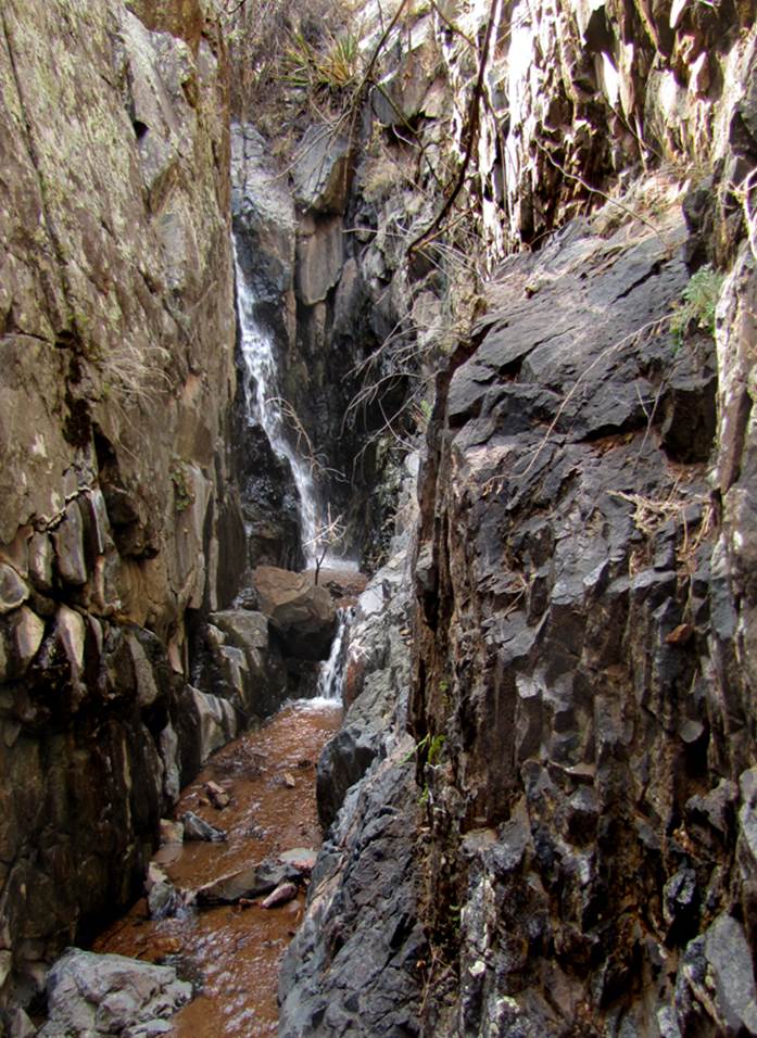
The falls below is the first one
you come to walking upstream from your wheels...
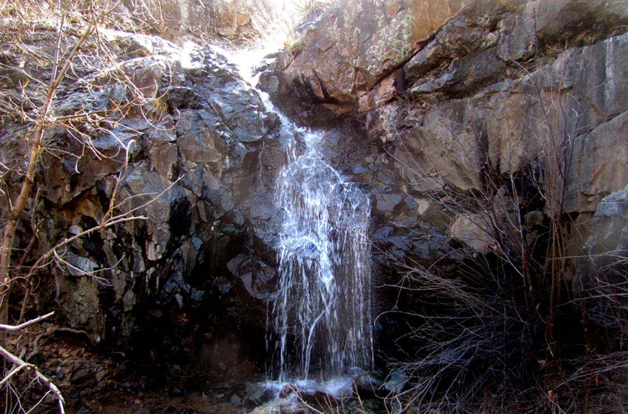
The 30’ waterfall below is
the highest so it must be the real Cave Falls.
It is also the fartherest upstream.....
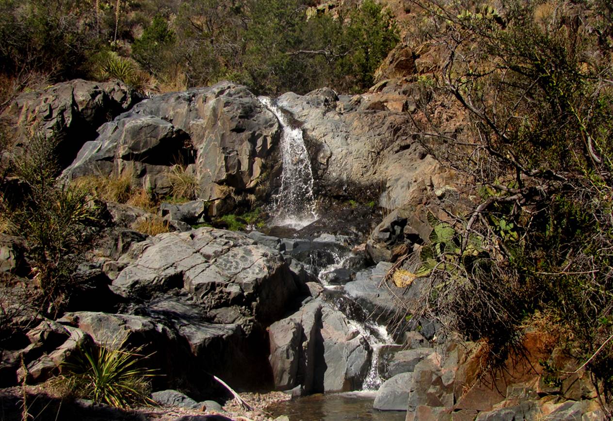
...nuther
20’ falls
…and a nuthern…
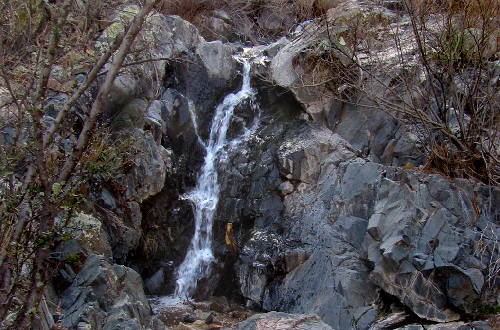
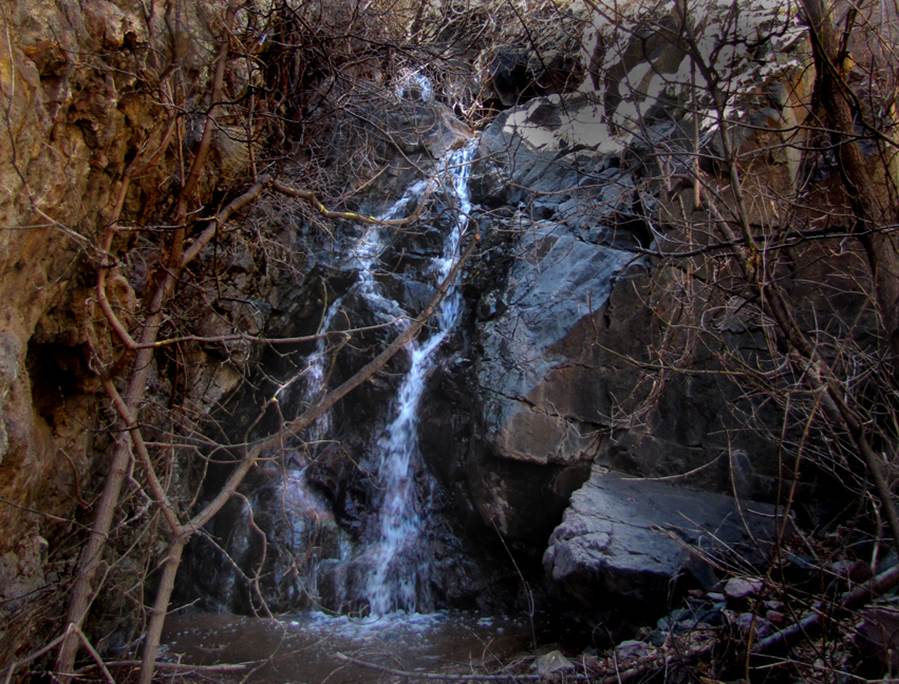
The presence of moss on the
rock in these falls suggests that Magner Spring has
strong flow and must be perennial
beta facts:
name- Cave Creek Falls
height- 30’ with a half dozen 20 footers below it
elevation- 7000’
GPS coordinates- ±33°01.010’N 107°43.303’W
flow- likely a tiny flow is perennial
season- March is best
accommodations- none, this place is out in the booneys
ownership-Gila National Forest
access- take Forest Road 157 10 miles into
Cave Creek from Hwy 152 just east of Kingston, NM –the last 3 miles are 4WD
nearest town- Kingston, NM
fun fact- where’s the cave....???
Cave Creek is quite wiggly... so it is
about a mile and a half scramble all the way in...... and
the stream is usually dry where you park down by the road
Enhanced
USGS 7.5’ topo map
Send questions and
comments to doug.vivian@yahoo.com