Blue Creek Falls
See on youtube: https://www.youtube.com/watch?v=vzsGgiHeFxw
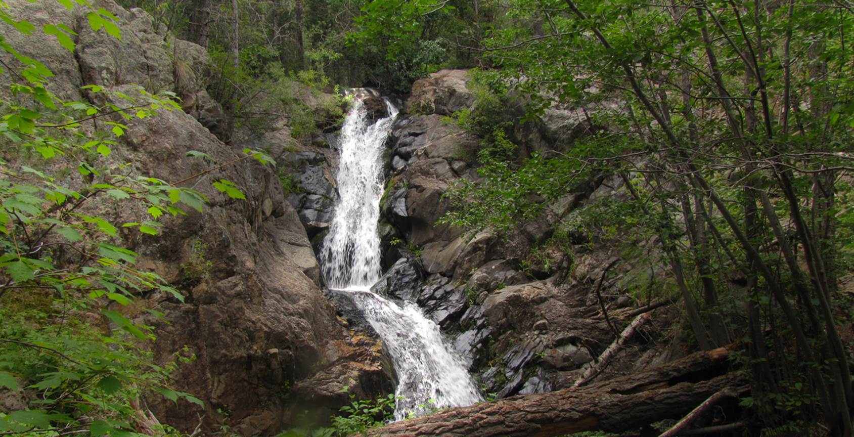
30’ high Blue Creek Falls pours
over solid granite. The upper tier is
20’ and the lower tier is 10’... and ...Blue Creek has at least a dozen more
waterfalls...!!!
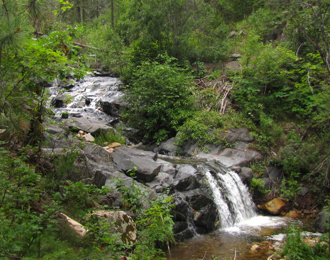
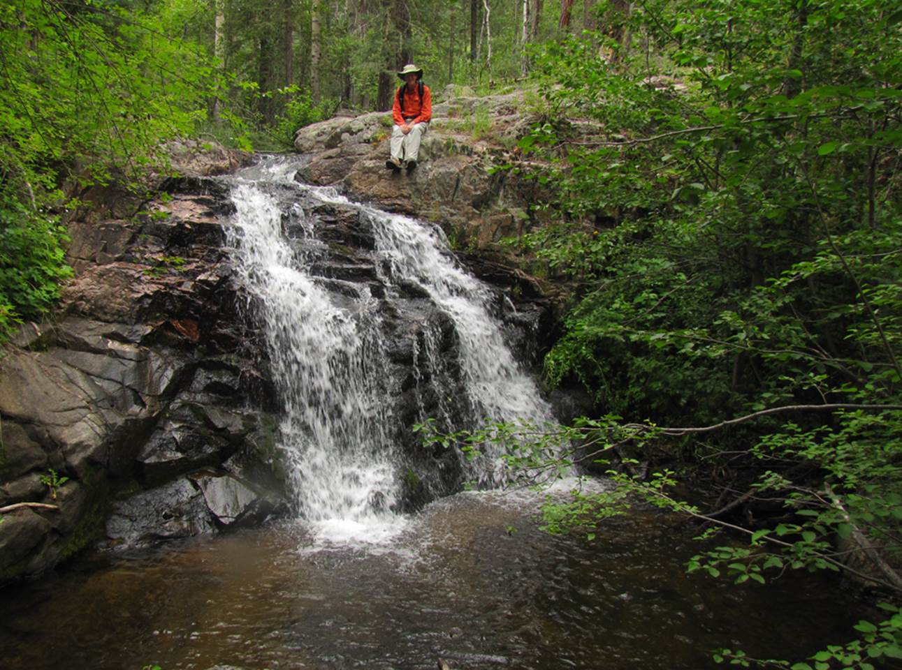
-here is a couple nice 12
footers shown below- These two falls are
upstream from the main Blue Creek Falls
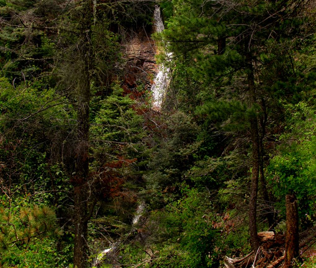
The photo below shows the 50’
high “tiered” waterfall that is the highest elevation falls we found on upper
Blue Creek’s South Fork –see the map below
beta facts:
name- Blue Creek Falls
height- 30’
elevation- 8000’
GPS coordinates- ±35°39.580’N 105°28.493’W
flow- perennial trout stream
season- May thru October
accommodations- none
ownership- Santa Fe National Forest
access- 20 miles or more west of Las Vegas
on State 65 turn south on FR 156 for about 6 miles (unsure?) and left on FR 291
(see map below)
nearest town- Las Vegas, NM is about 15
miles east of here
fun fact- this place surpassed my
expectations... it is awesome...!!!
essay bro:
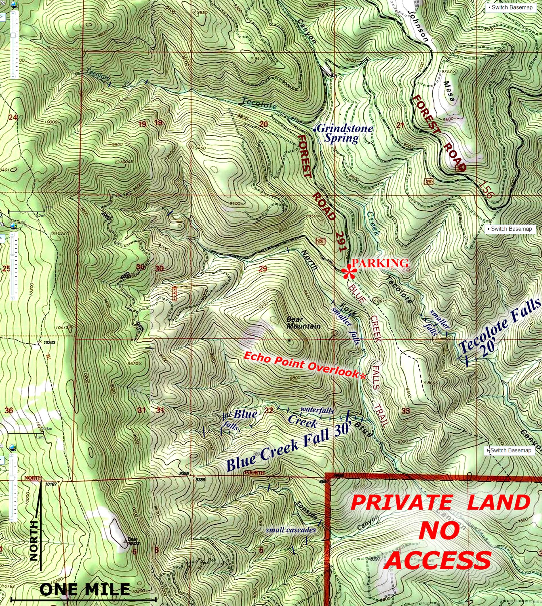
Pull off of Forest Road 291 and park your
wheels at the “un-marked” Blue Creek Falls Trailhead. The GPS cords here are: ±35°40.451’N 105°28.538’W -You will find this trail to be
amazing...!!! Hopefully the Forest
Service will maintain it again someday soon.
It is a very easy trail to maintain in that it run along a thinly
forested hillside. Echo Point Overlook is a GRAND
PLACE that you will never forget...!!!
And Blue
Creek Falls are sweet...!!!
Right-click-save-as on my map below to have a hardcopy for
yourself
Enhanced
USGS 7.5’ topo map
Send questions and
comments to doug.vivian@yahoo.com