Hell’s Half Acre
-Hell’s Half Acre is more than three sections in size, near
Silver City, with many miles of many slot canyons-
ACA Canyon
Rating – 2B III
NEVER ENTER ANY
SLOT CANYON WHEN HEAVY RAIN IS IN THE FORCAST…!!!
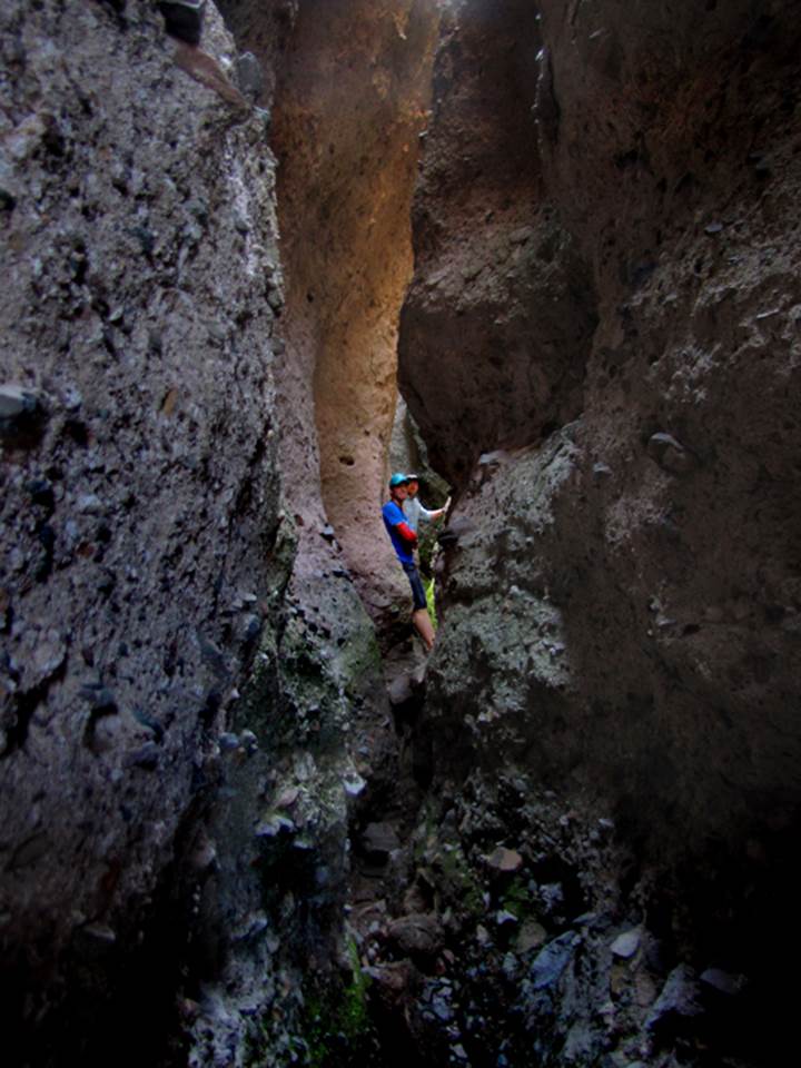
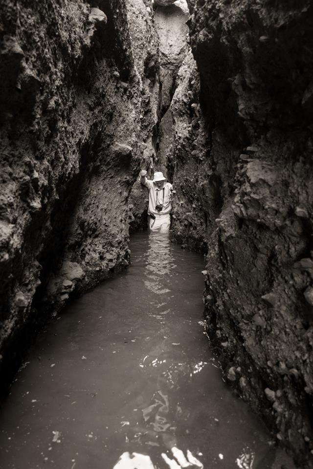
These two photos above were taken within
the canyon labeled “narrow slot” on the map below. The Jay Hemphill photo above is a black &
white of me turning blue in the COLD water....! !
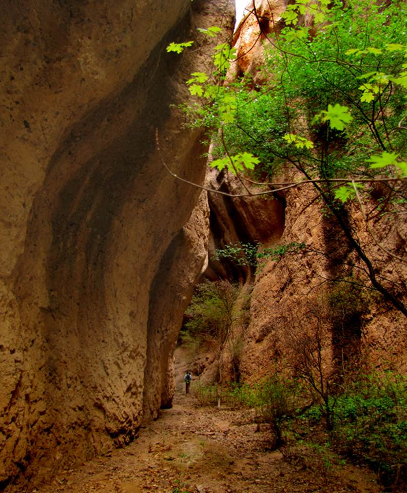
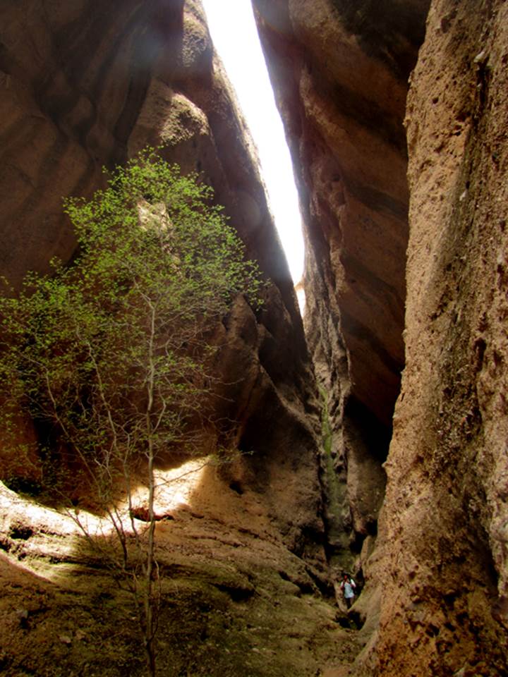
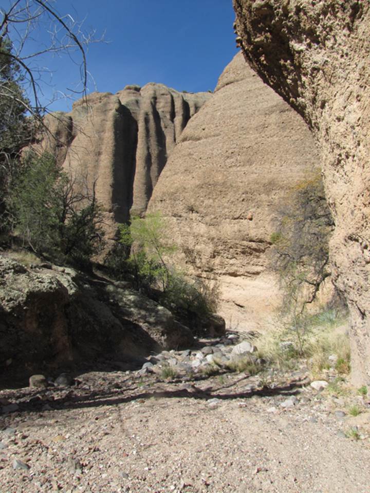
Both photos below are of Maple Canyon, in
the heart of Hell’s Half Acre… it is amazing and can be located in the center
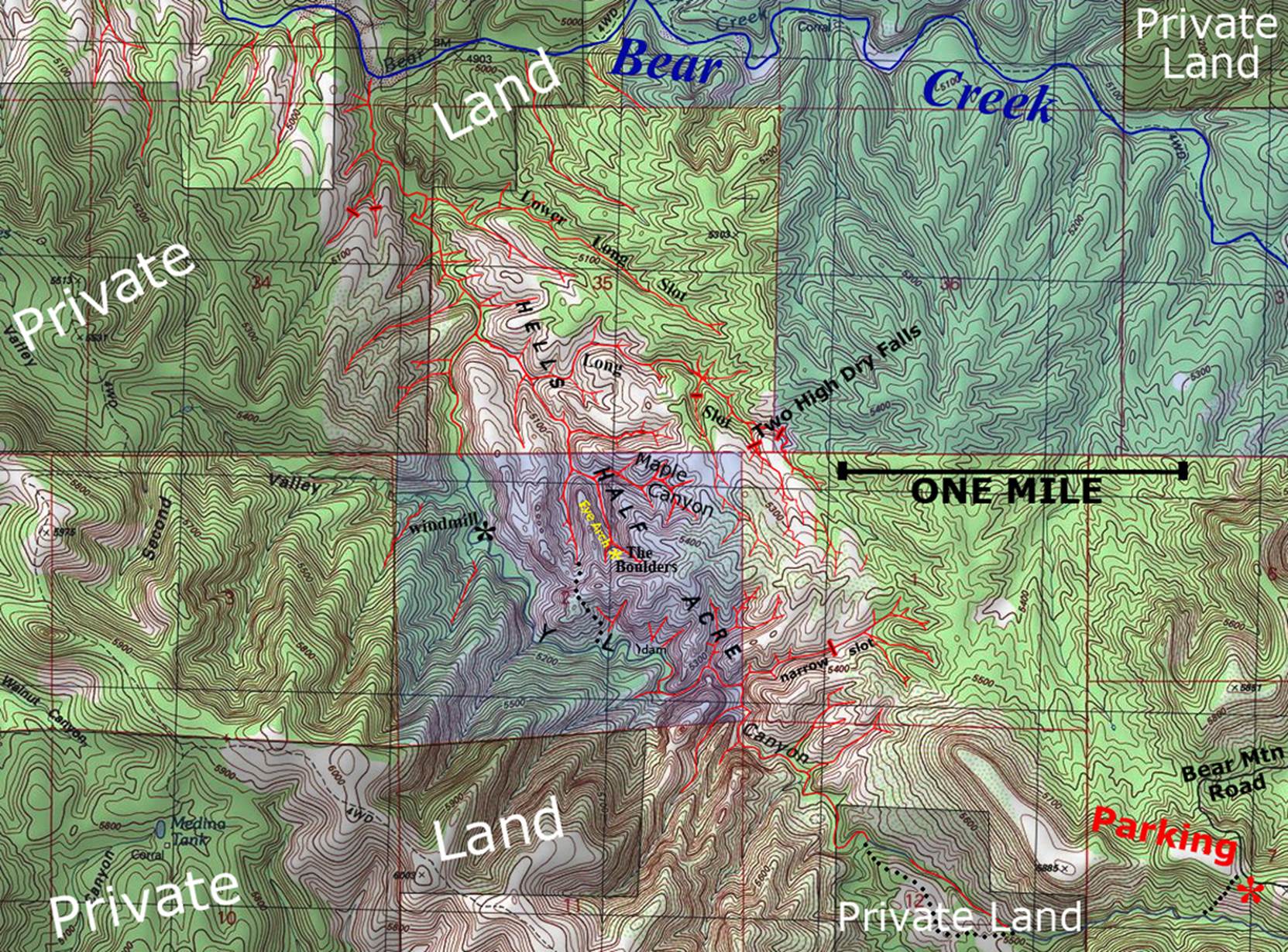
of the map at the bottom of this page
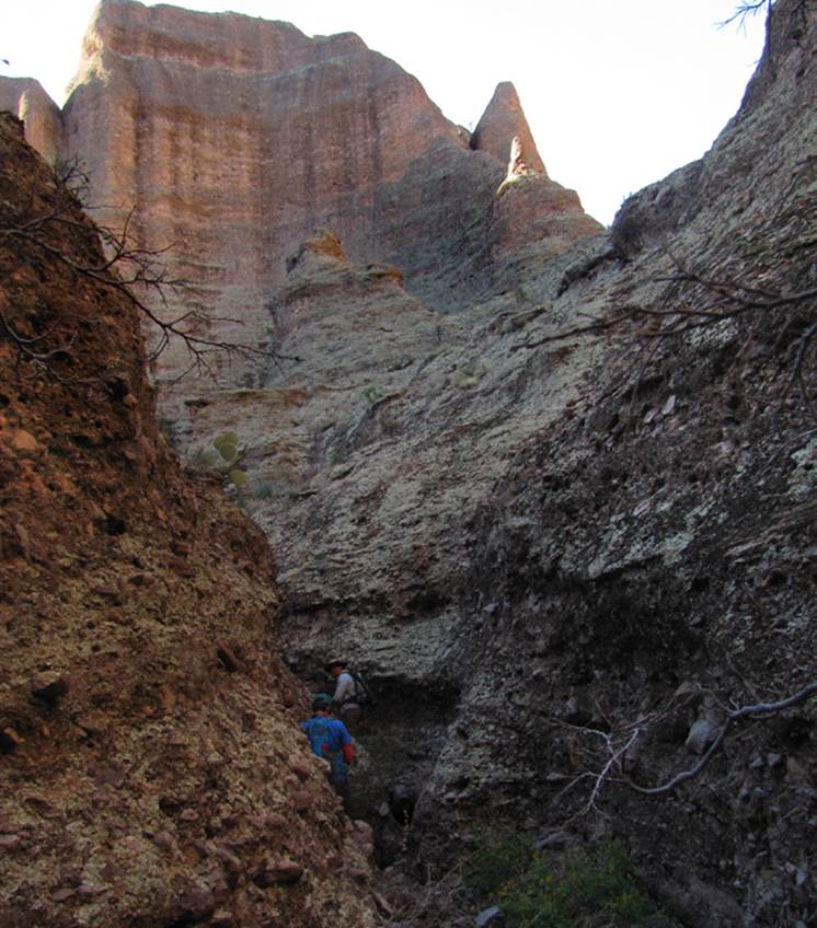
YL Canyon in the photo below,
is the “mother” canyon of Hell’s Half Acre.
It is a box canyon and not a slot canyon. Twenty or more of its tributaries are slot canyons.
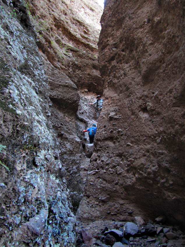
My friend Jay hemphill
climbs like a mountain goat in a slot a couple hundred yards from Bear Creek
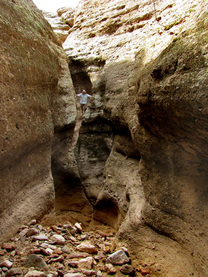
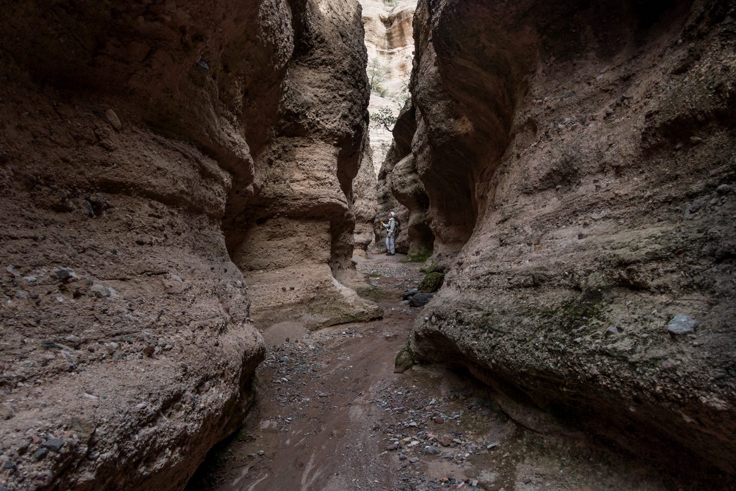
The two photos below are of a slot canyon
across-the-street from the “narrow slot”
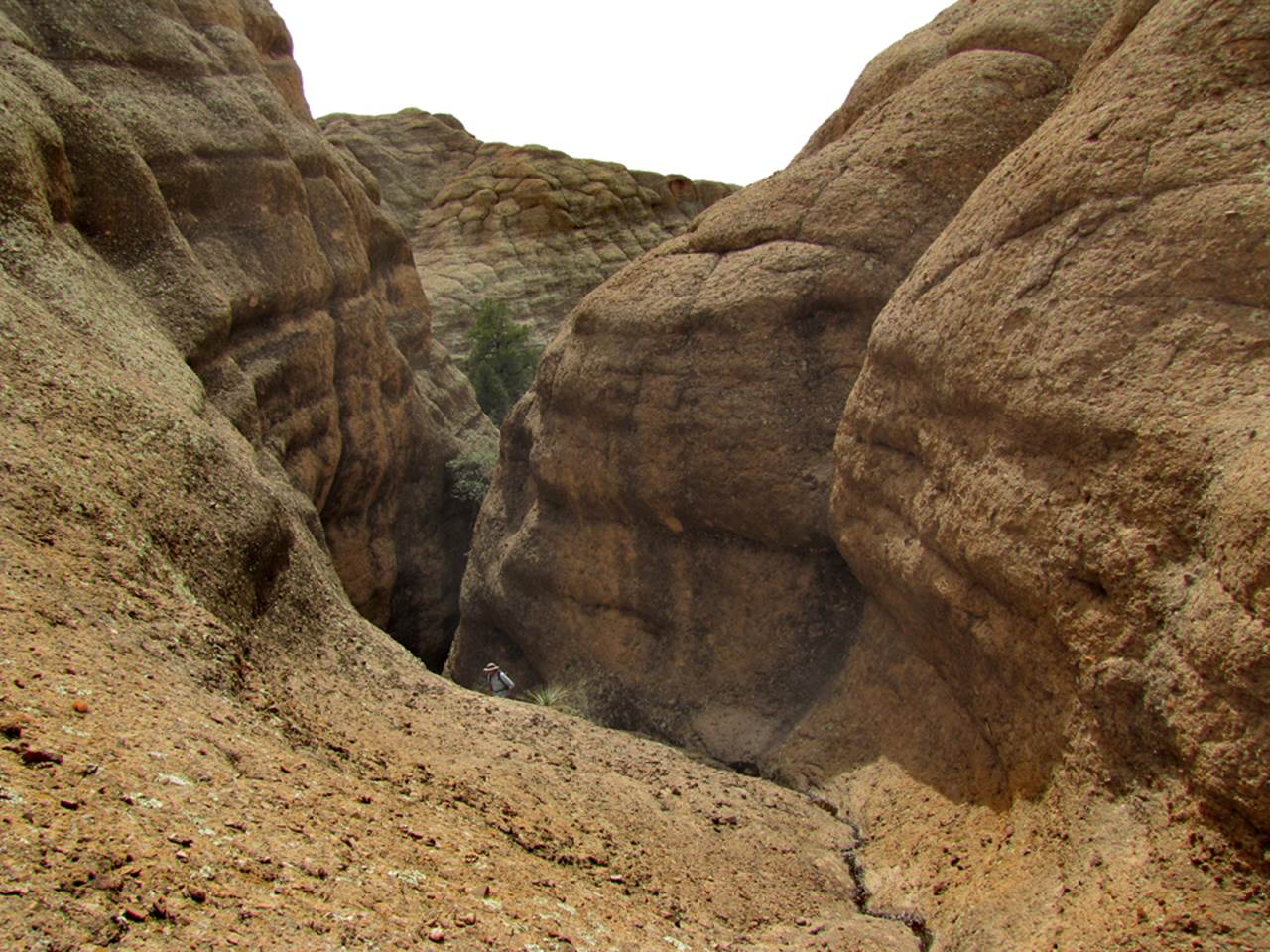
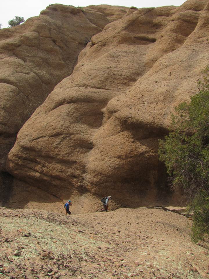
The next three photos are on the way into
“The Boulders” area.... see the map below
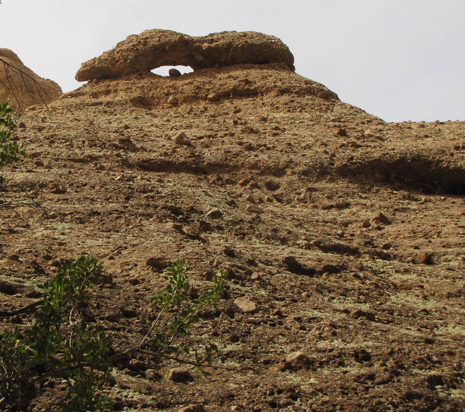
The “Eye Arch” is a small landmark near
“The Boulders”
The Jay Hemphill photo below is within Long
Slot which is a mile and a half long.... nearby Lower Long Slot Canyon is about
a mile in length
beta facts:
name- Hell’s Half Acre
elevation- about 5100’ elevation
GPS coordinates- ±32°56.762’N 108°27.831’W
flow- some intermittent
season to visit- anytime except July and August
are safe… NEVER
ENTER ANY SLOT CANYON WHEN HEAVY RAIN IS IN THE FORCAST…!!!
accommodations- NONE
ownership- mostly BLM
access- is from Bear Mountain Road… see the map
below
nearest town- Silver City is about 15 miles
southeast of here
fun fact- this place is immense
essay bro
Hell’s Half Acre is very large and takes
many days to experience. A 15 mile drive
out Bear Mountain Road will bring you to your parking place at: GPS ±32°55.777’N 108°26.044’W -Bear Mountain Road is reached by taking North
Alabama Street in Silver City northward, and as you travel north on N Alabama
St it will turn into Cottage San Road...which then continuing northward this
turns into Bear Mountain Road.
....please
right-click-save-as the map below and bring your own hard-copy of it with
you. Happy exploring....! ! !
The upper reaches of Long Slot, Lower Long Slot, “narrow slot” and most
of the other slot canyons will require rappelling.
Expect pitches to 100 feet and more.......! ! !
Enhanced USGS topo map
The Red Lines depict
sections of “slot canyons” and/or box canyons * Gray = Private Land * Blue =
State Land * and BLM Lands have no color added * Dotted lines show hiking
“routes”
Back to New Mexico
Slot Canyons
Send questions and comments to dscott@themarblesculptor.com