New Mexico Highcountry, Natural Lakes
Starting from up north and heading
south…
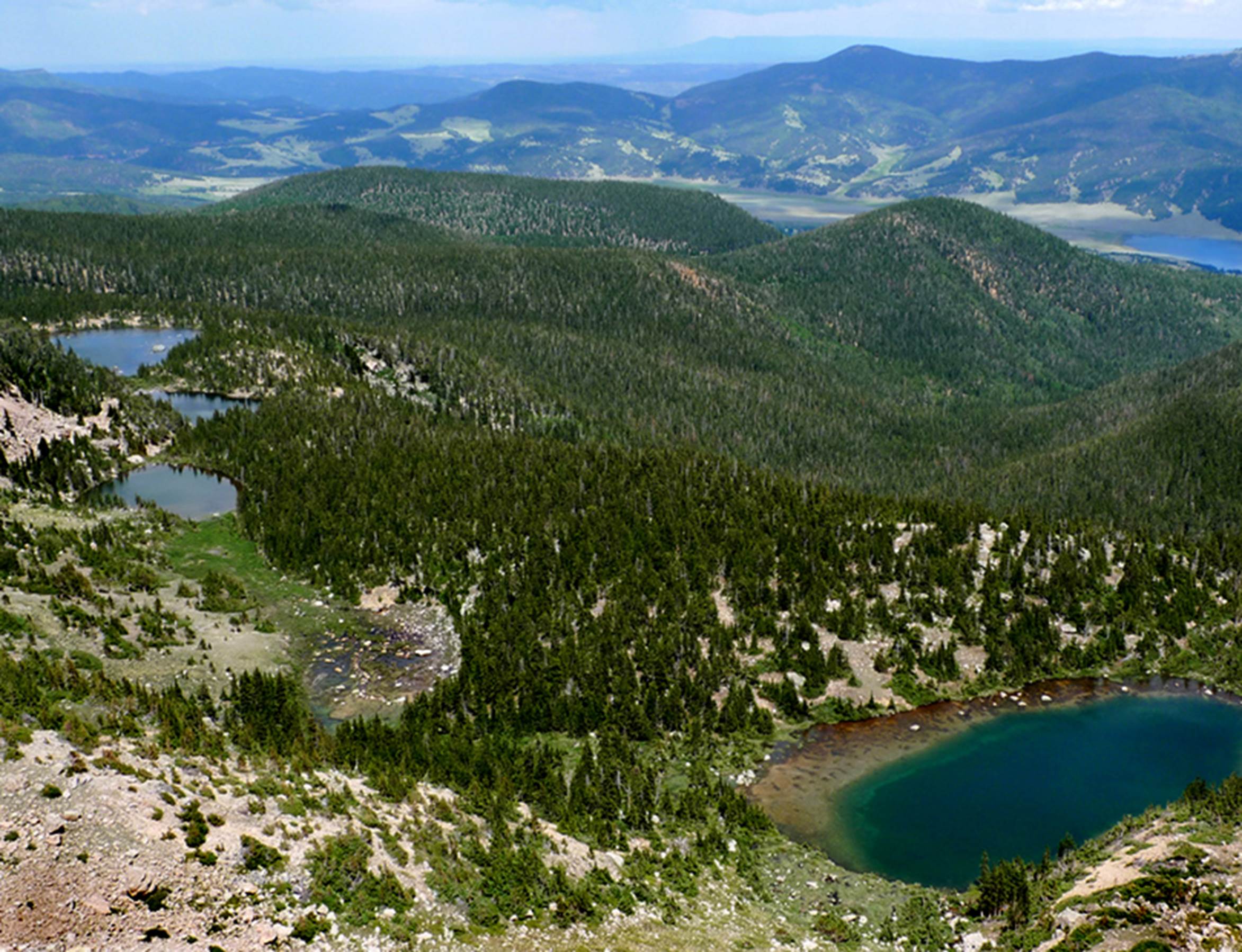
Vermejo Park
Bordering Colorado is Ted Turner’s
Vermejo Park Ranch… an AMAZING Rocky Mountain resort for those who can afford
it. The Sange de Cristo Mountain Range
here rises to 13,000 feet elevation… towering above timberline and hosting some
thirty Lakes, along with 50 miles of trout streams… a total Paradise…!!! See: vermajoparkranch.com for maps and
information.
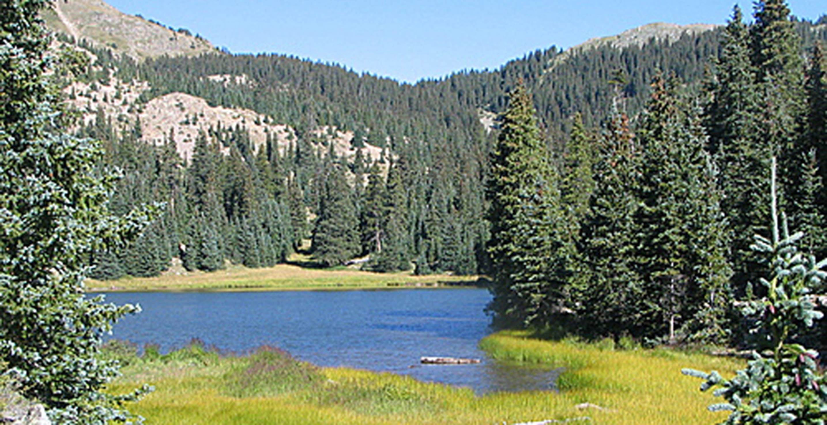
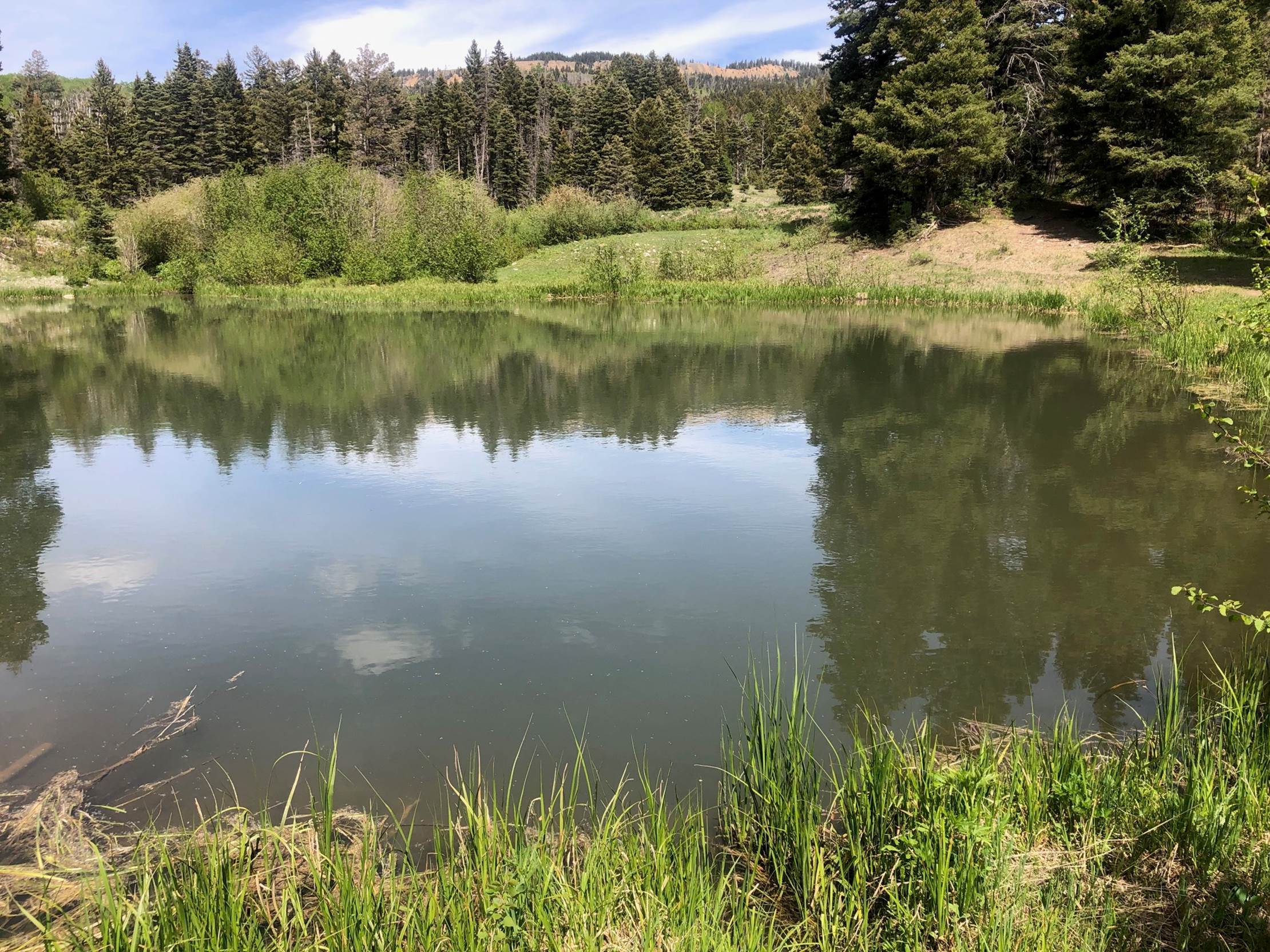
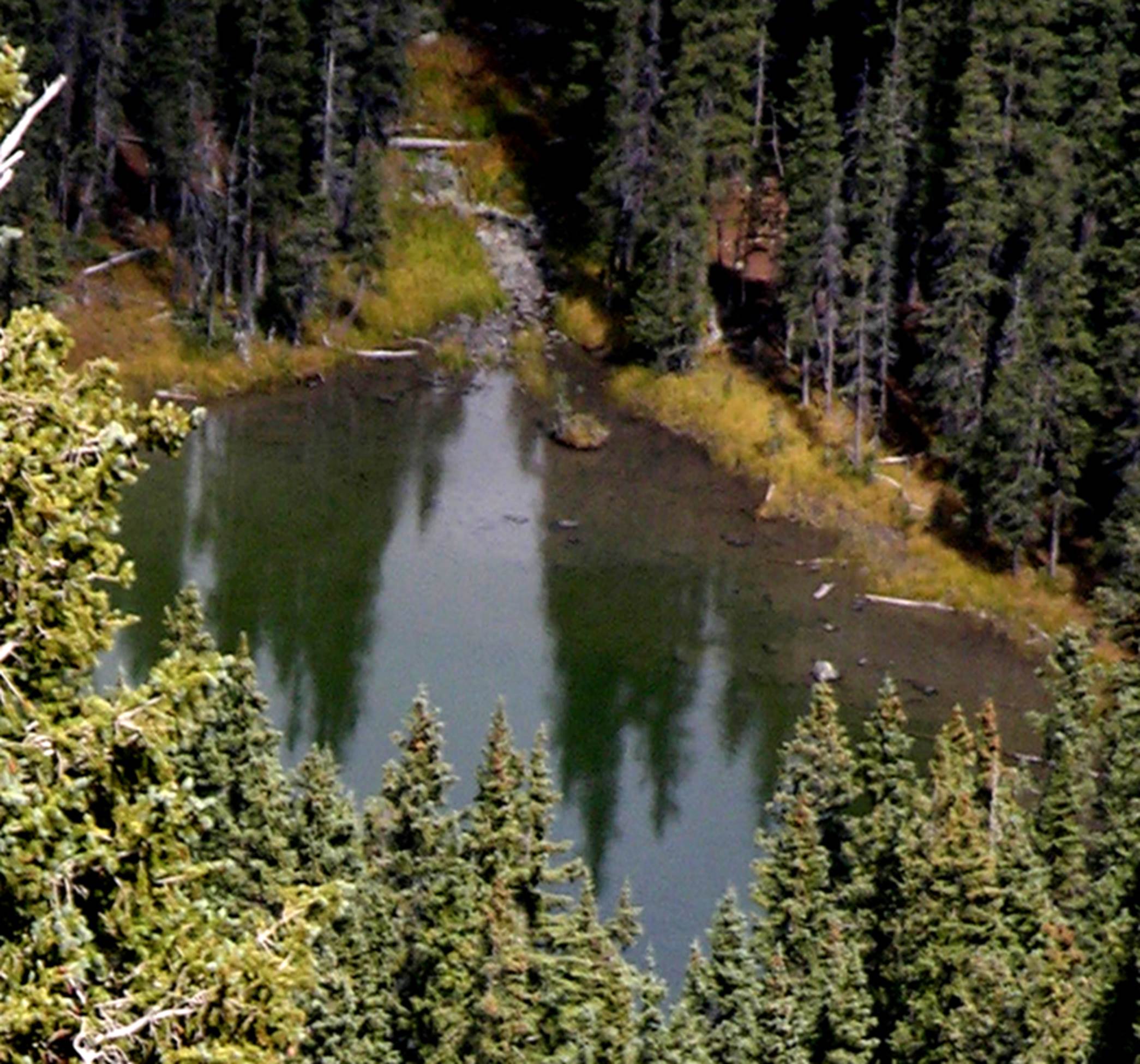
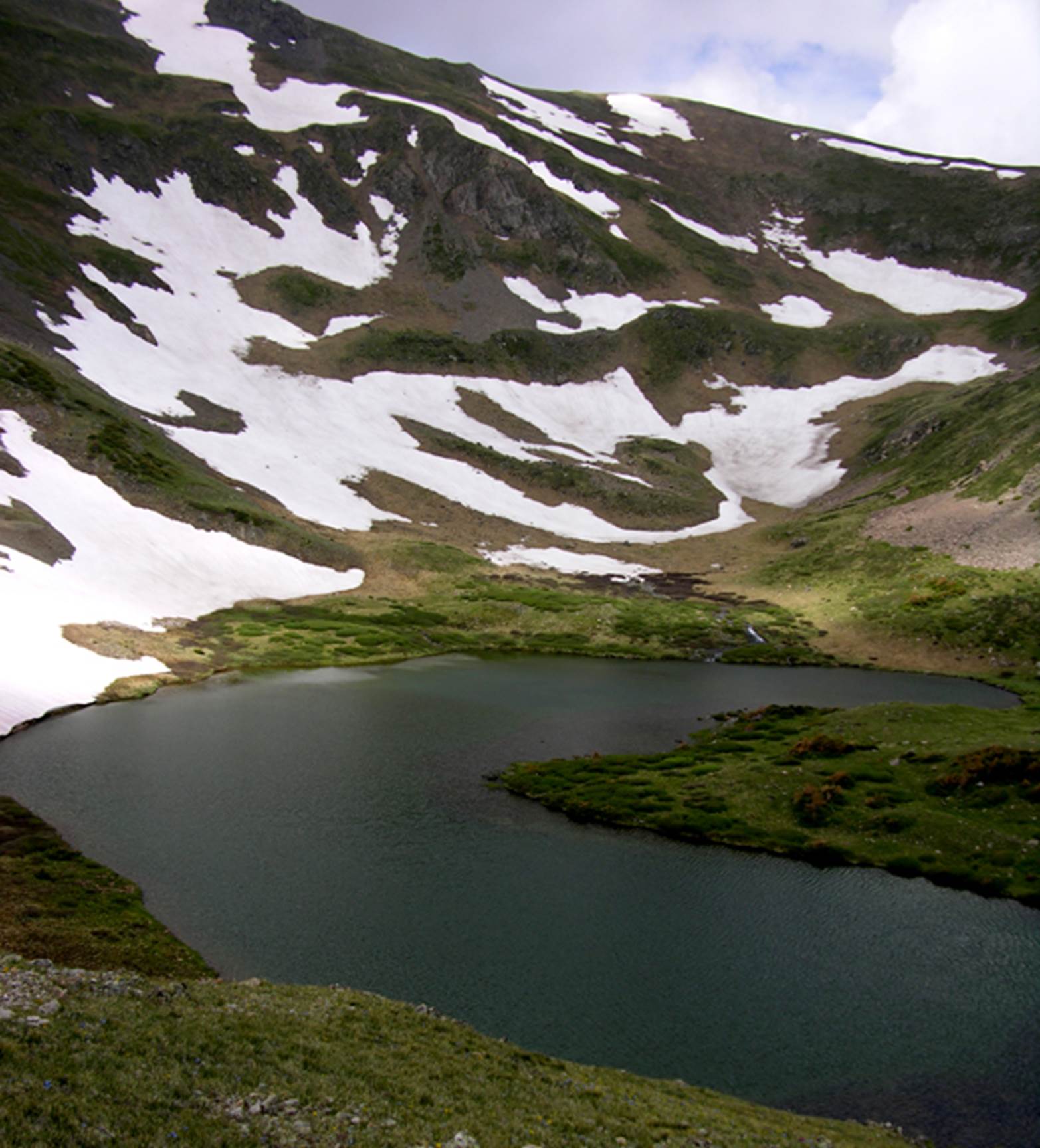
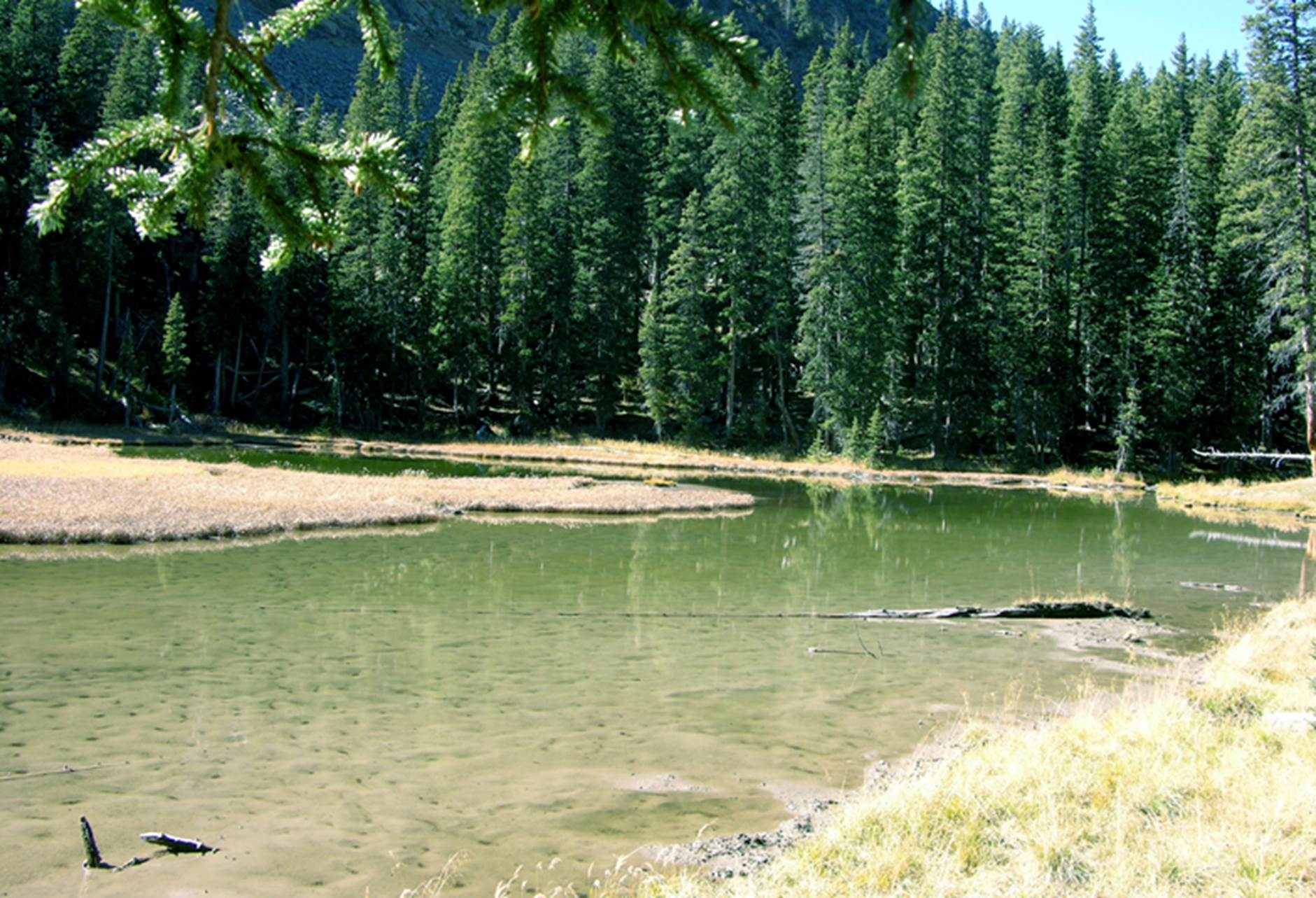
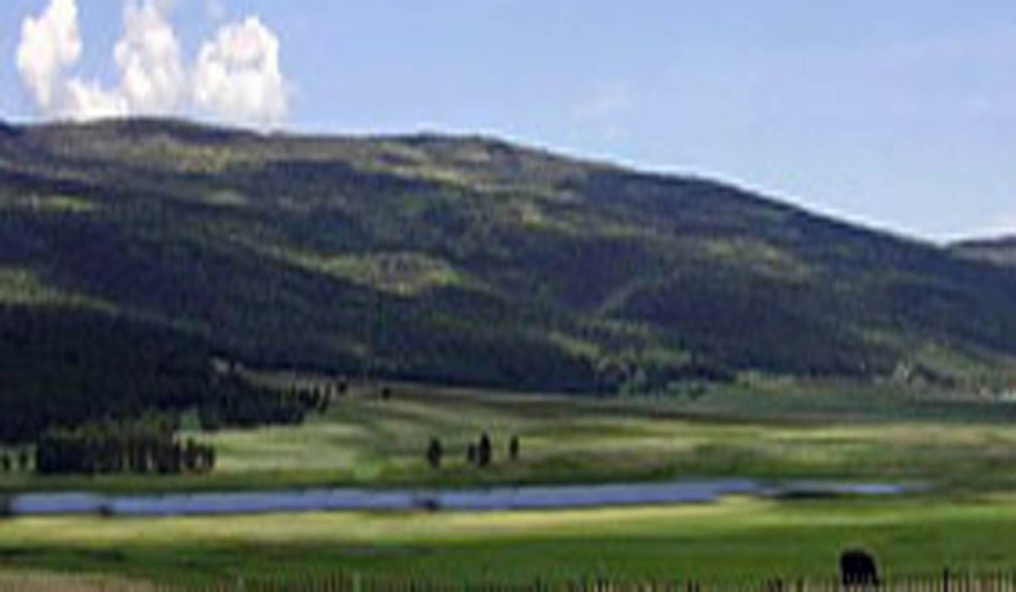
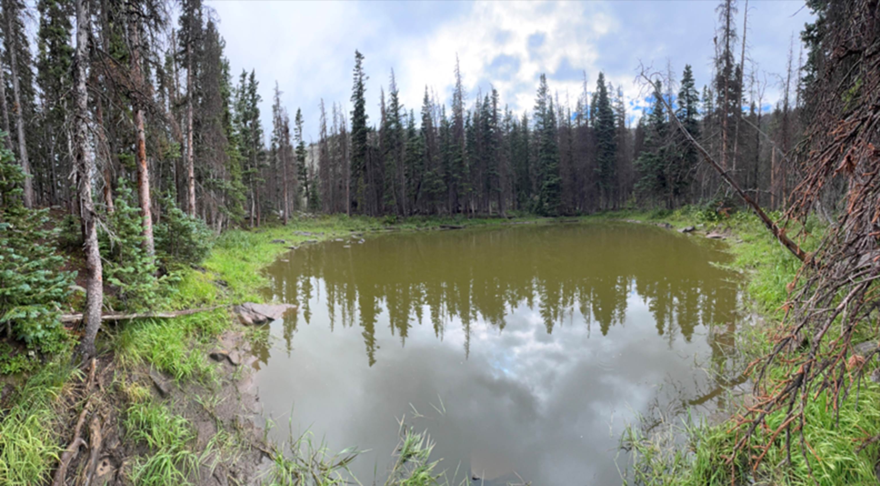
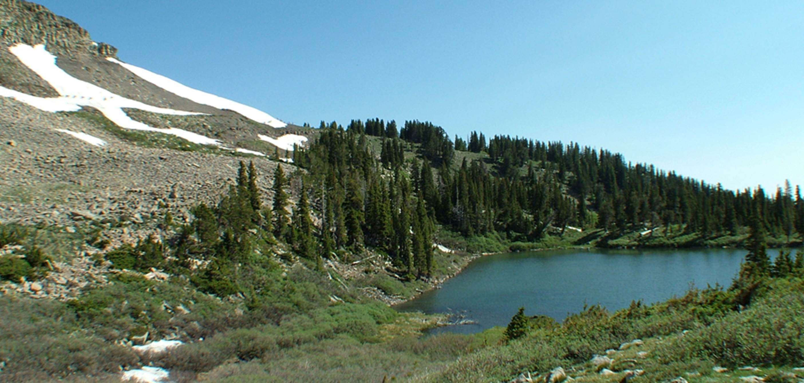
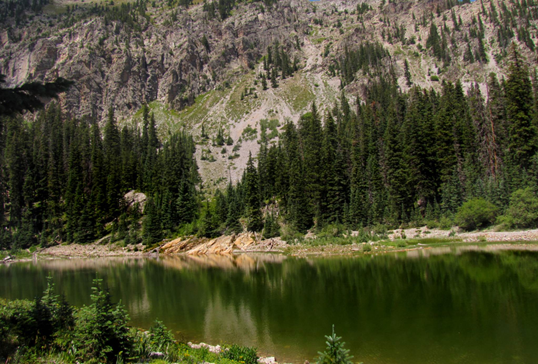
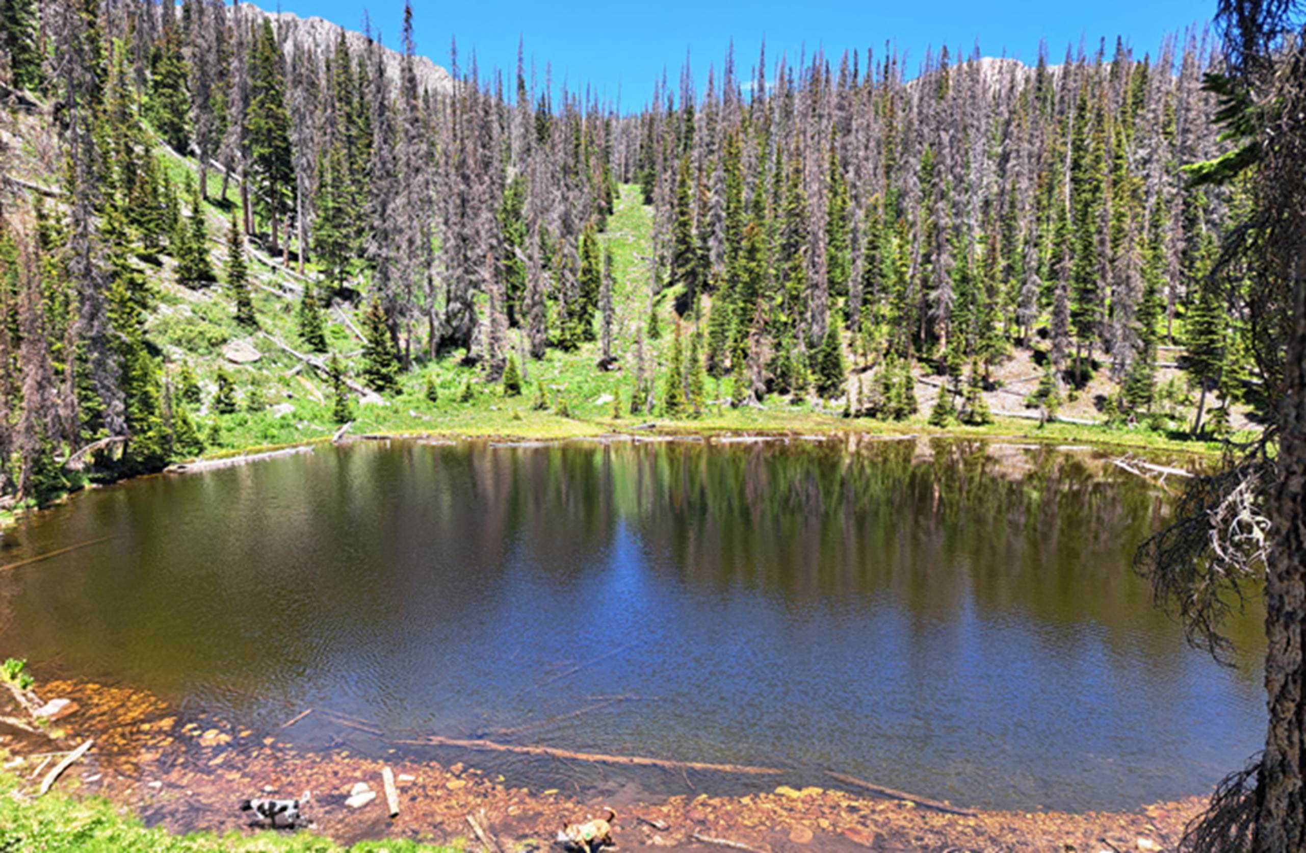
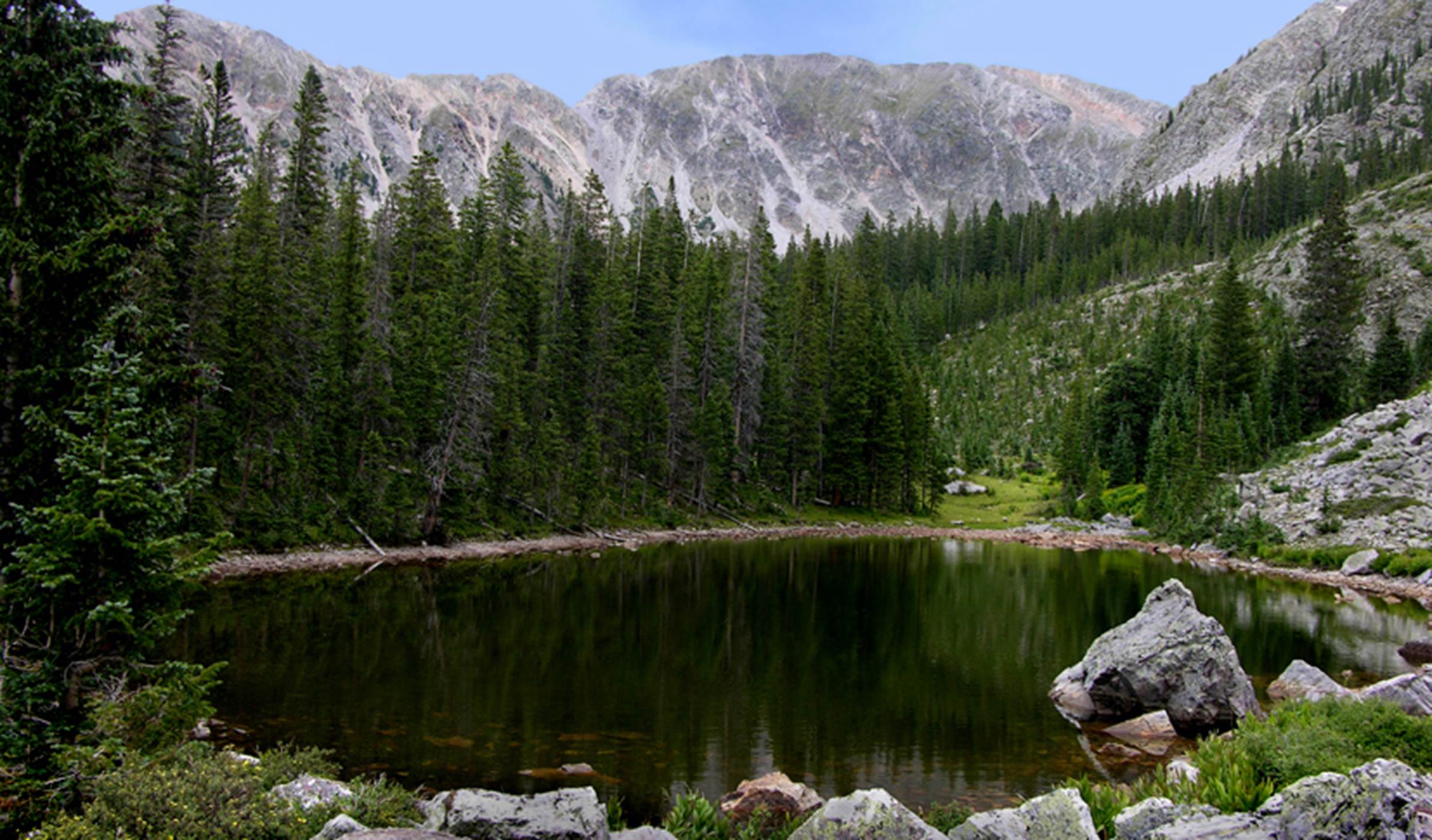
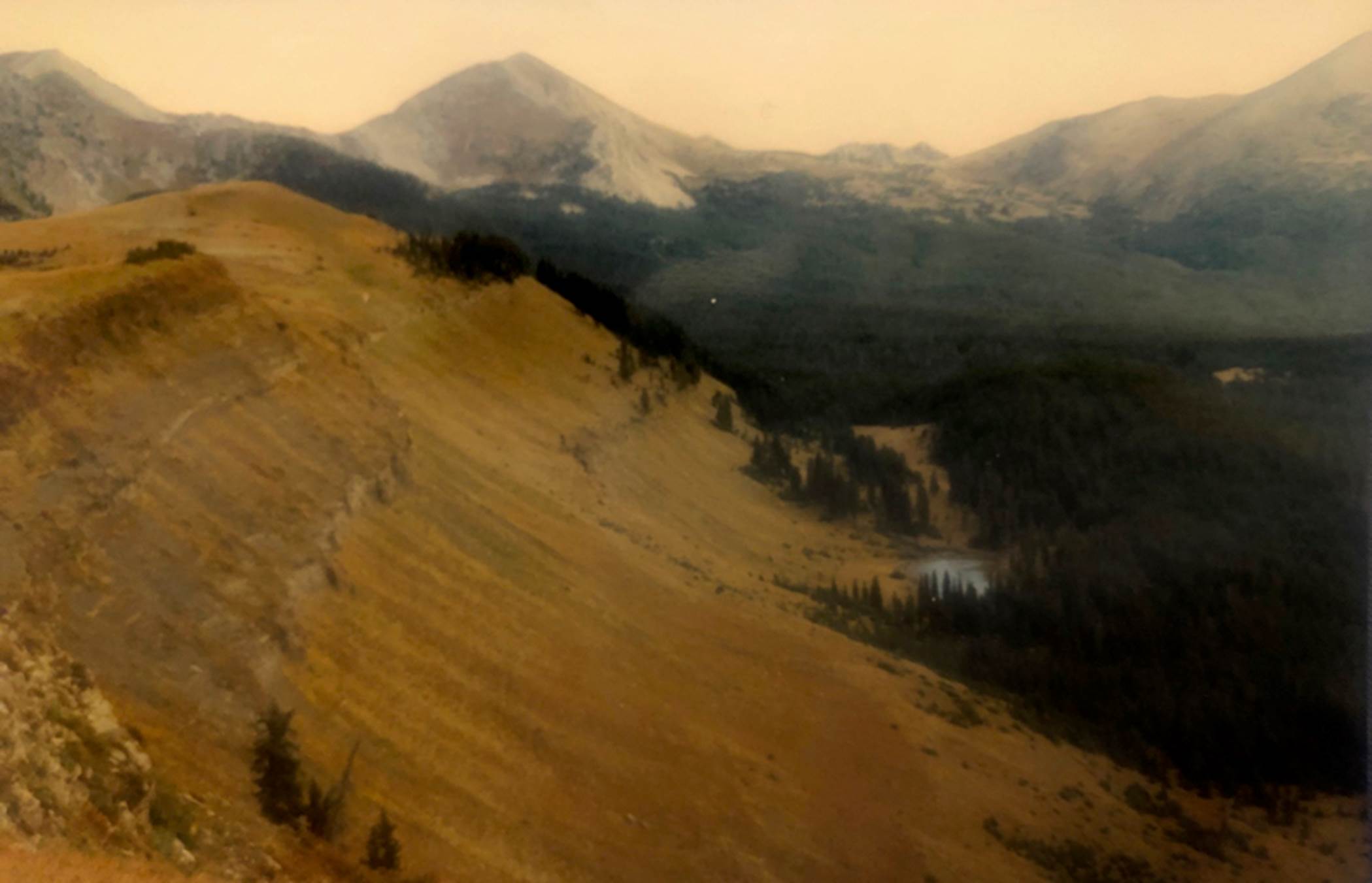
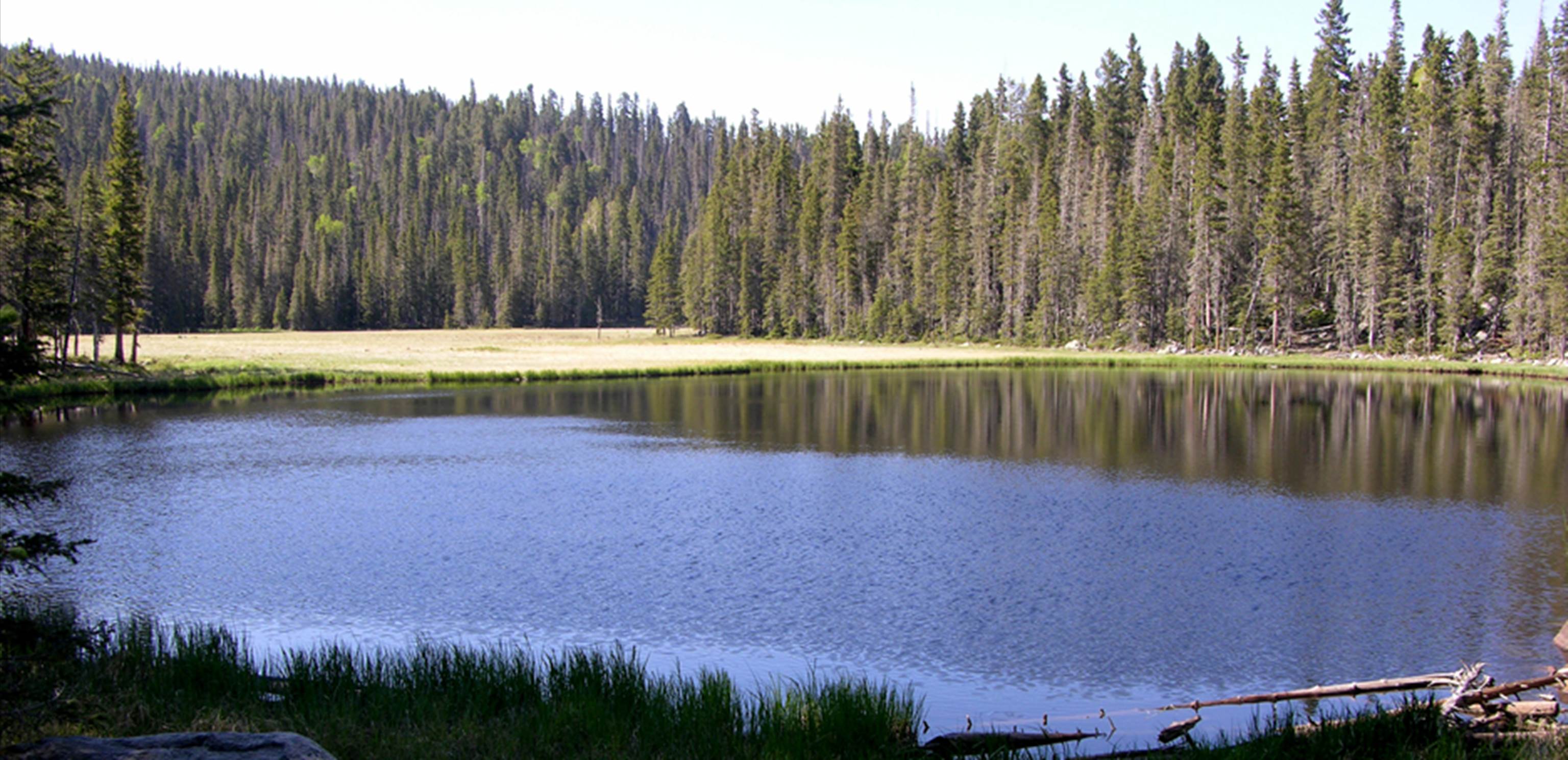
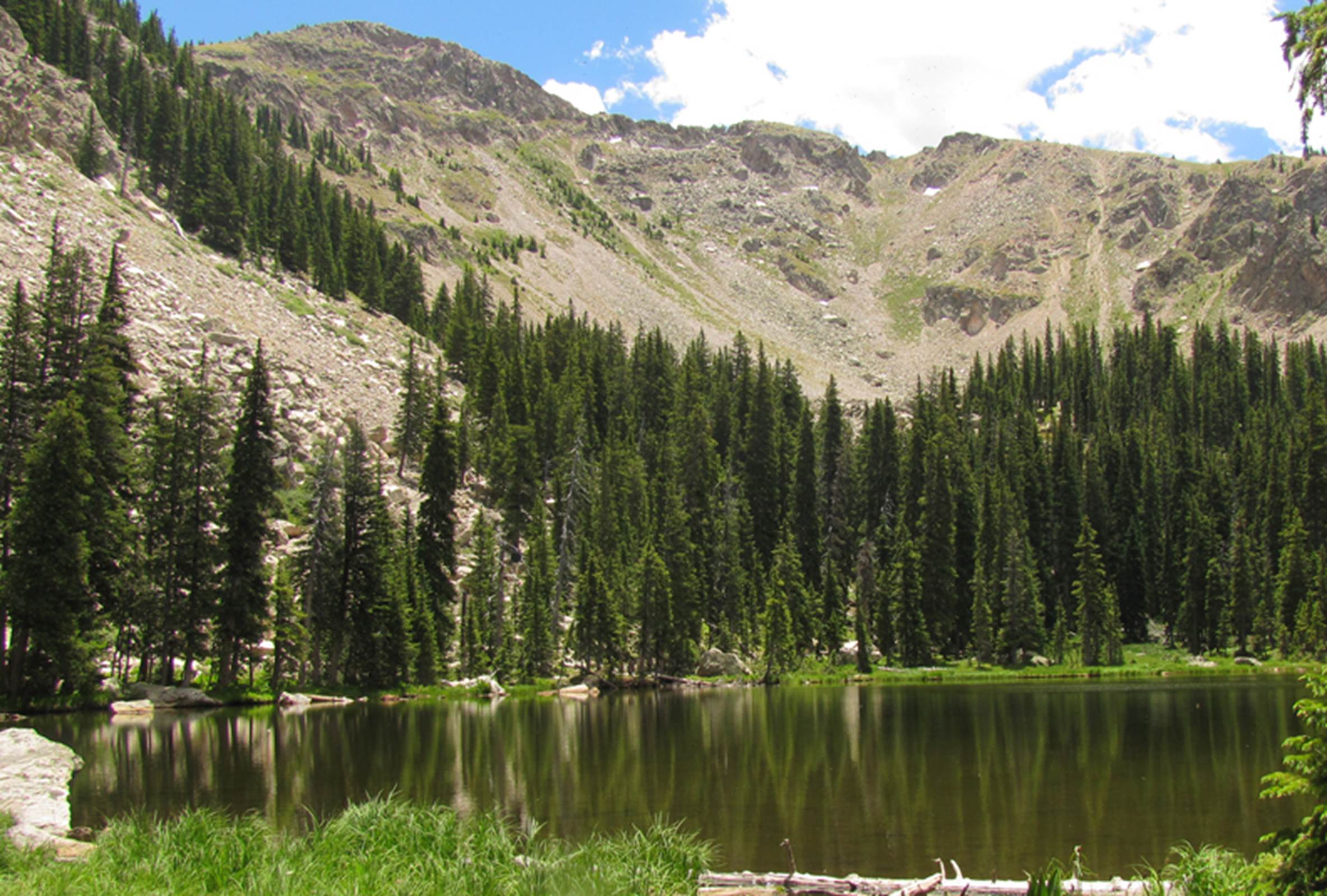
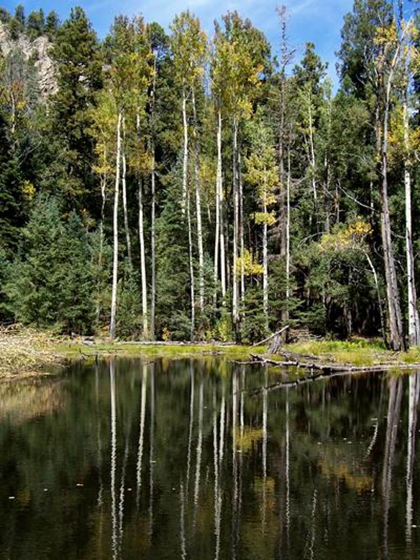
Santistevan Lake #1 is one of 4
Santistevan Lakes. Ted Turner’s Vemejo Park has more than 30 lakes in all…
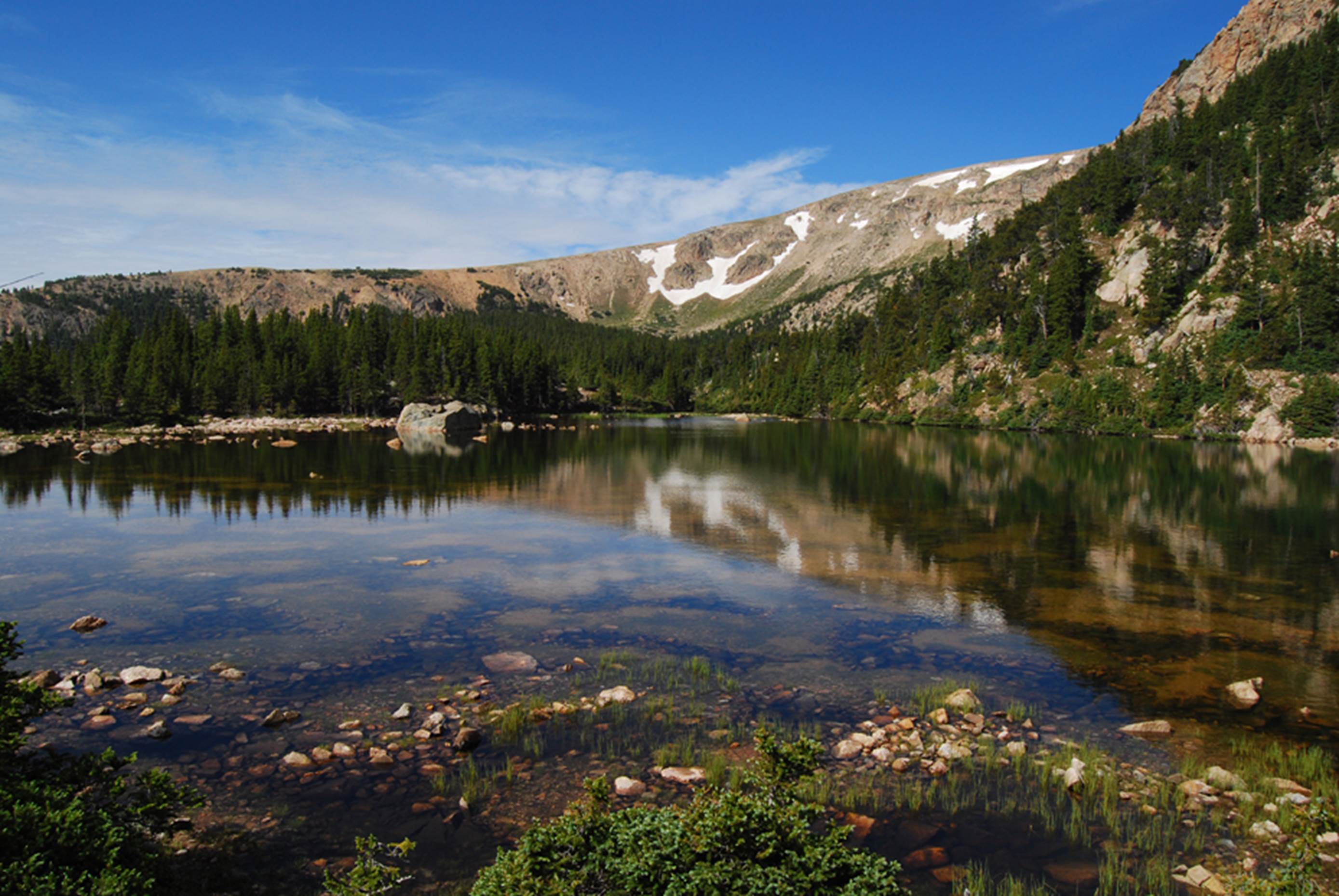
GPS coords- 35.894543° -105.329798°
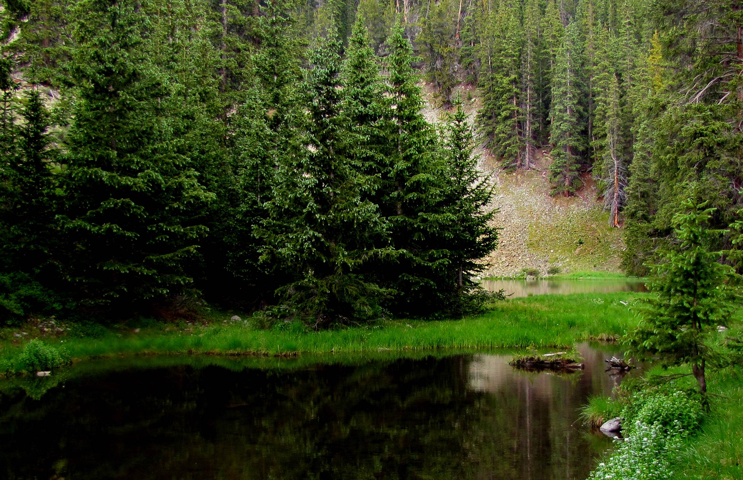
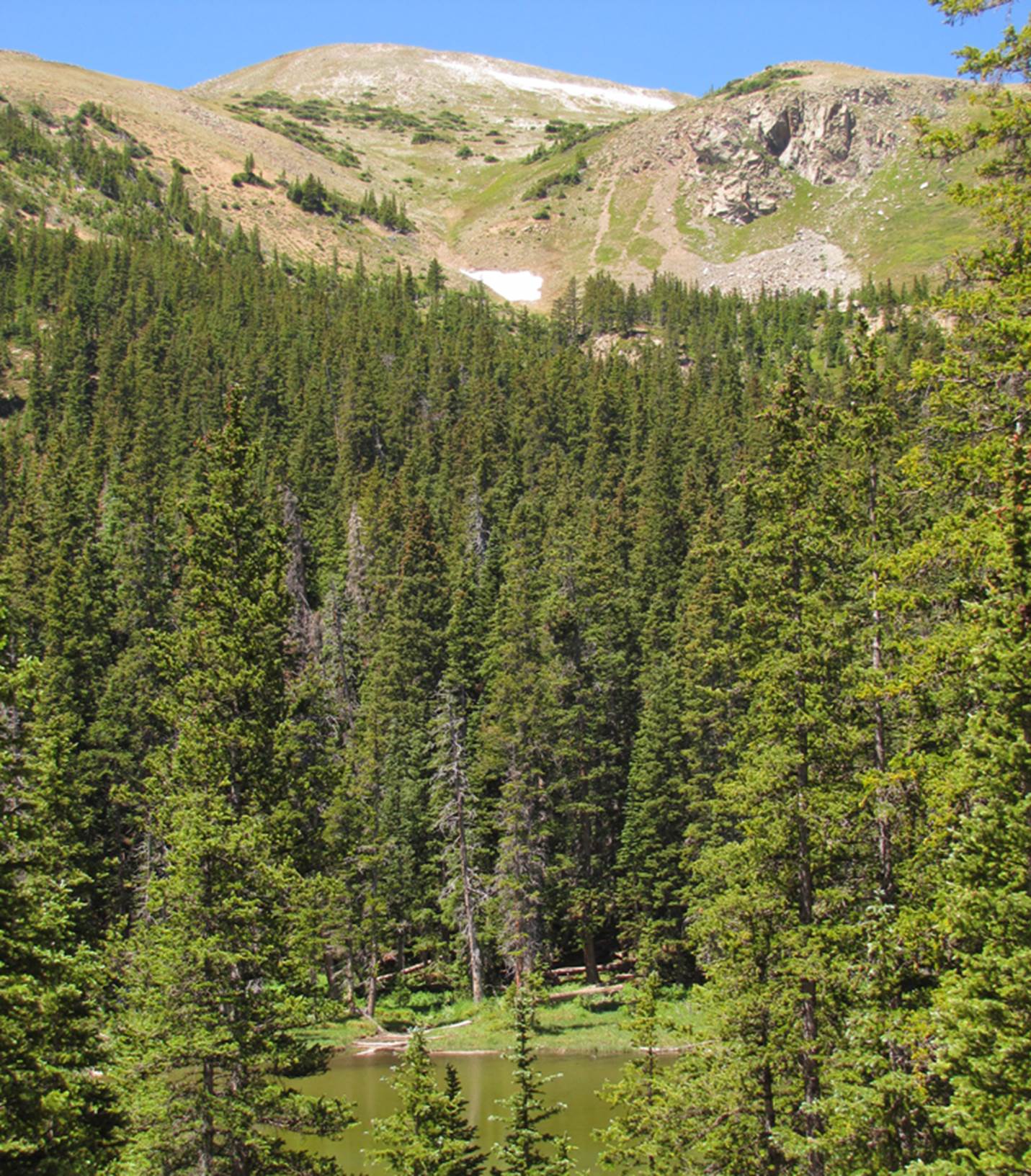
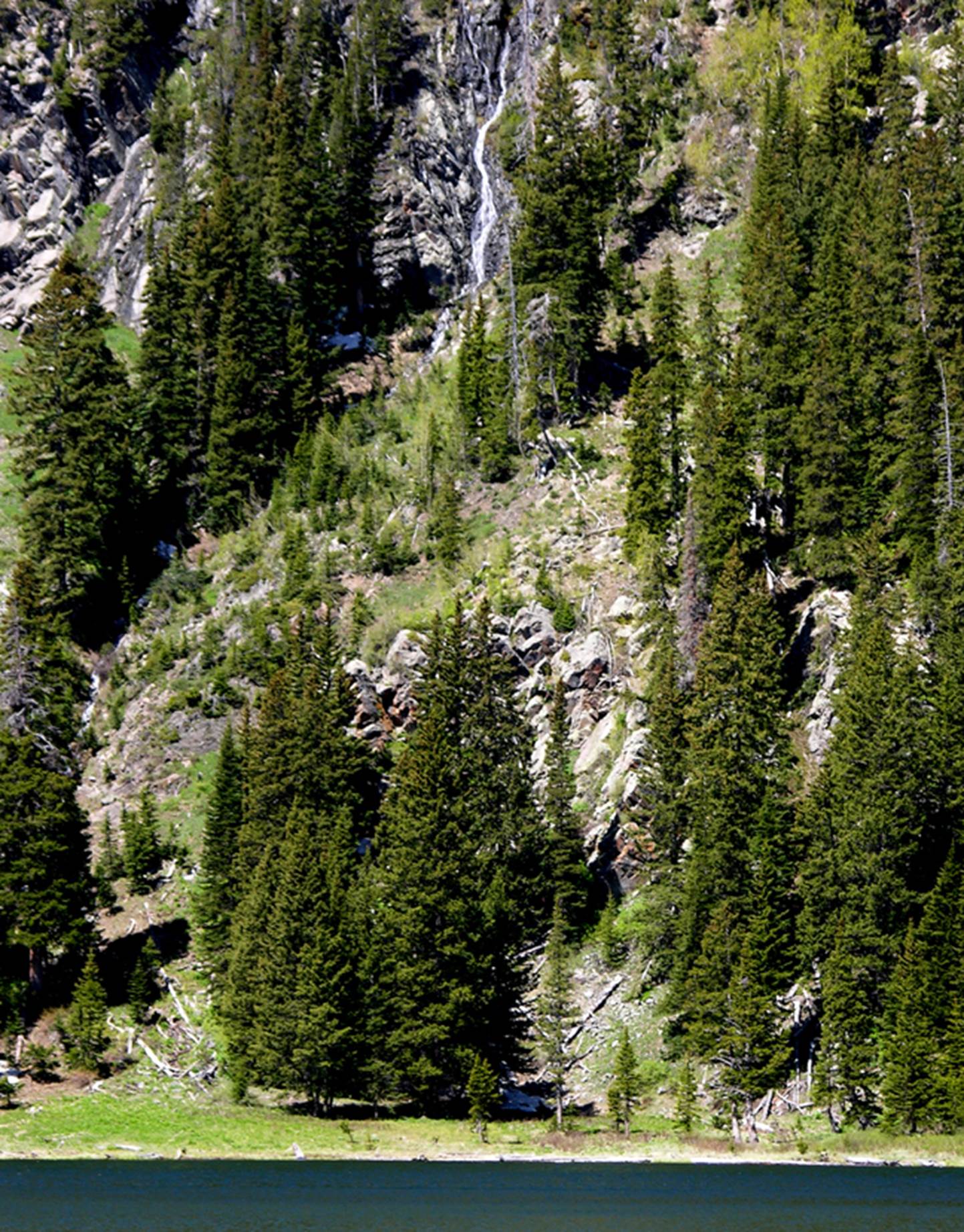
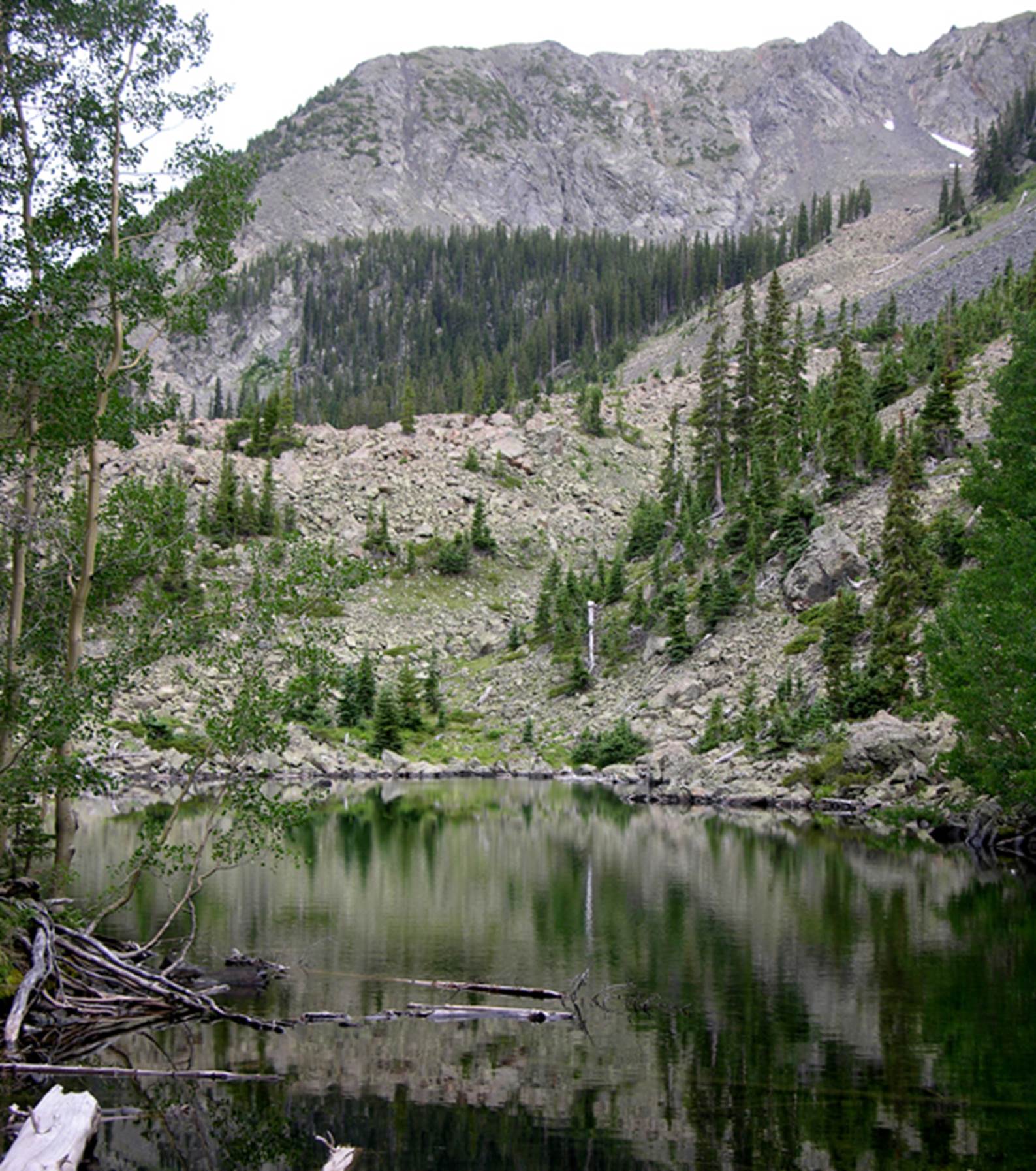
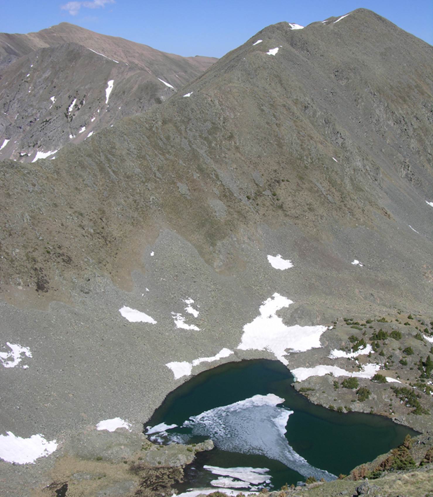
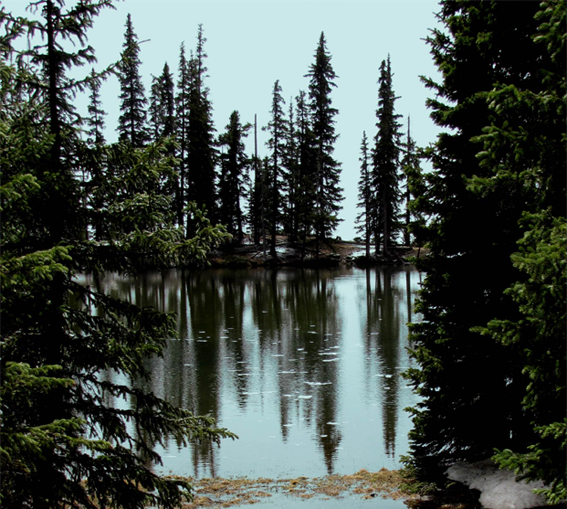
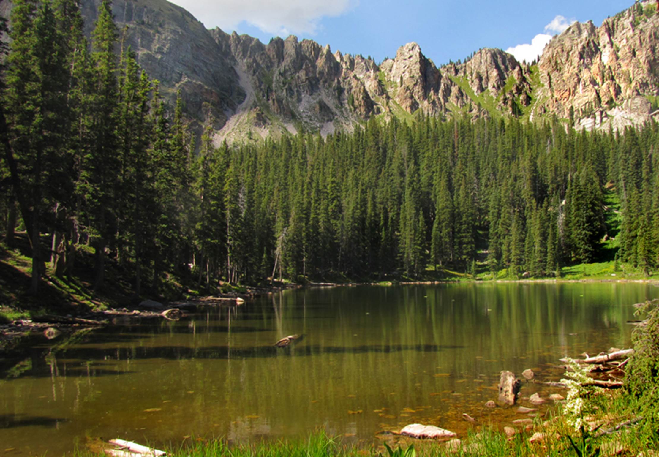
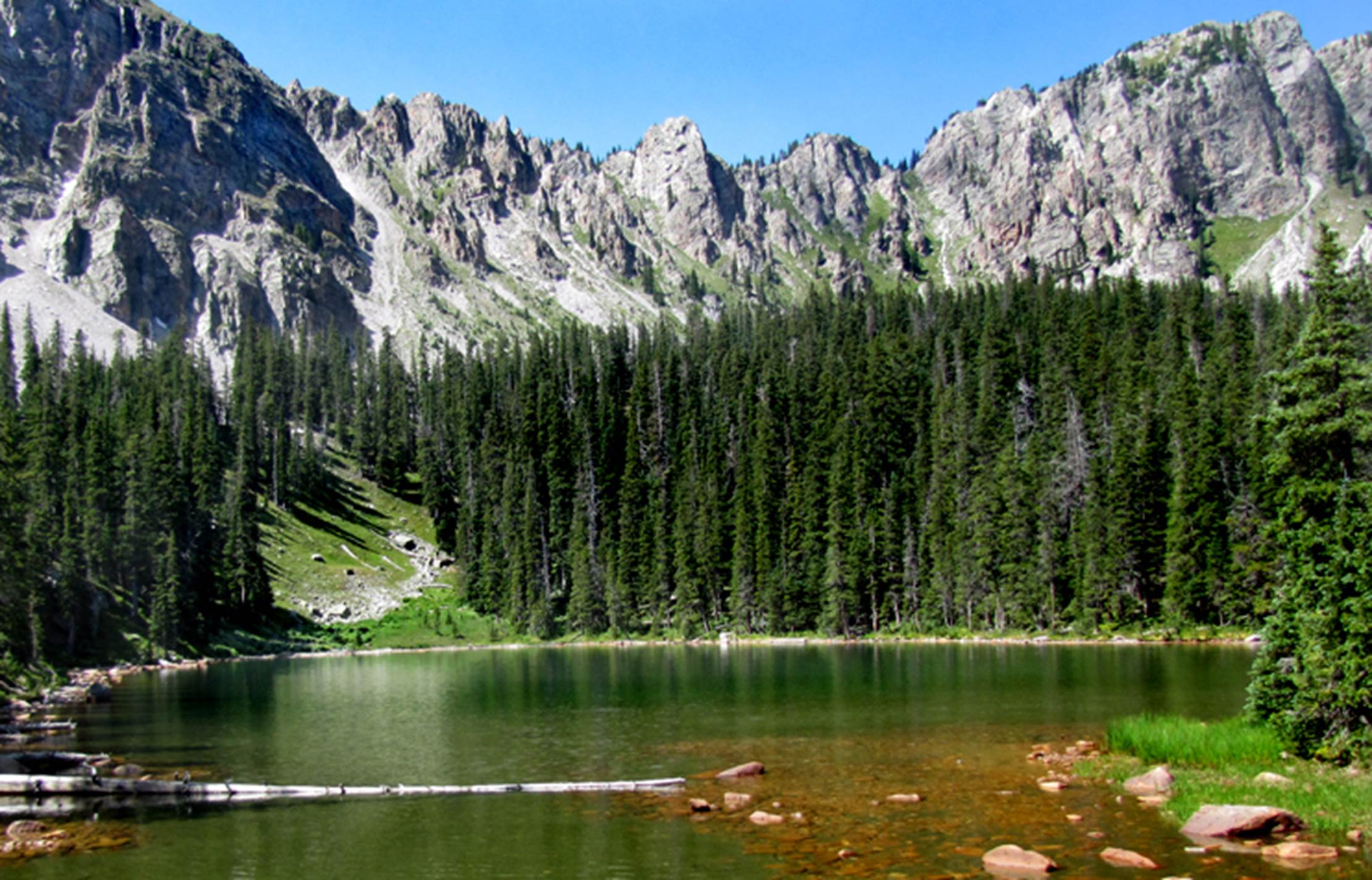
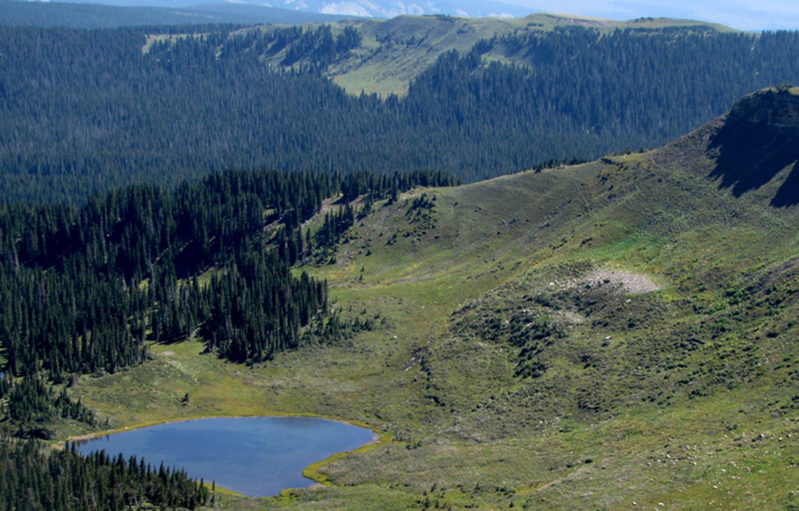
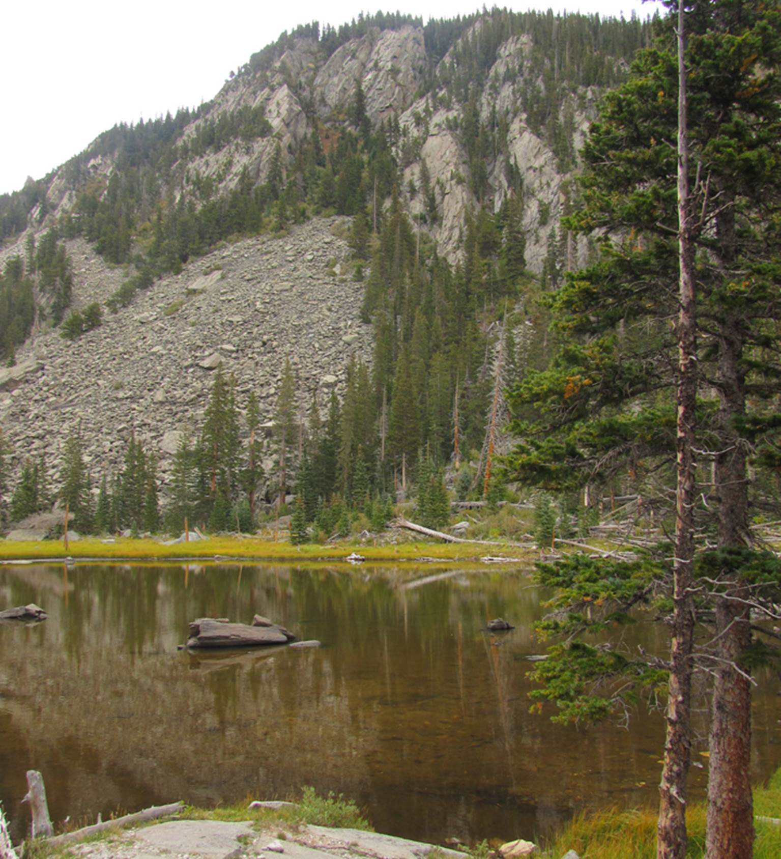
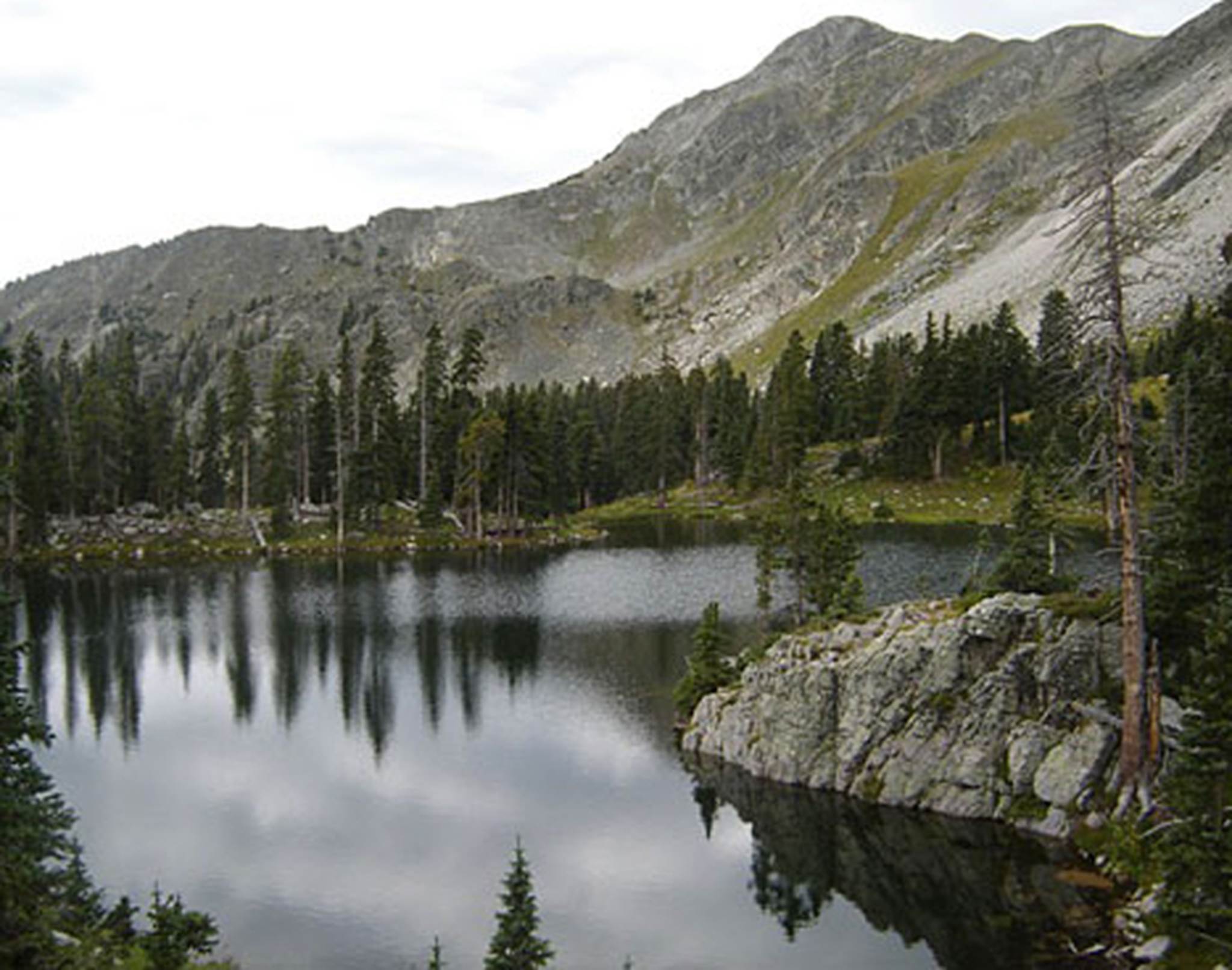
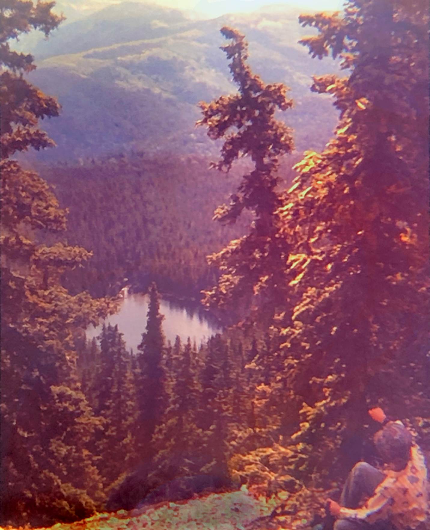
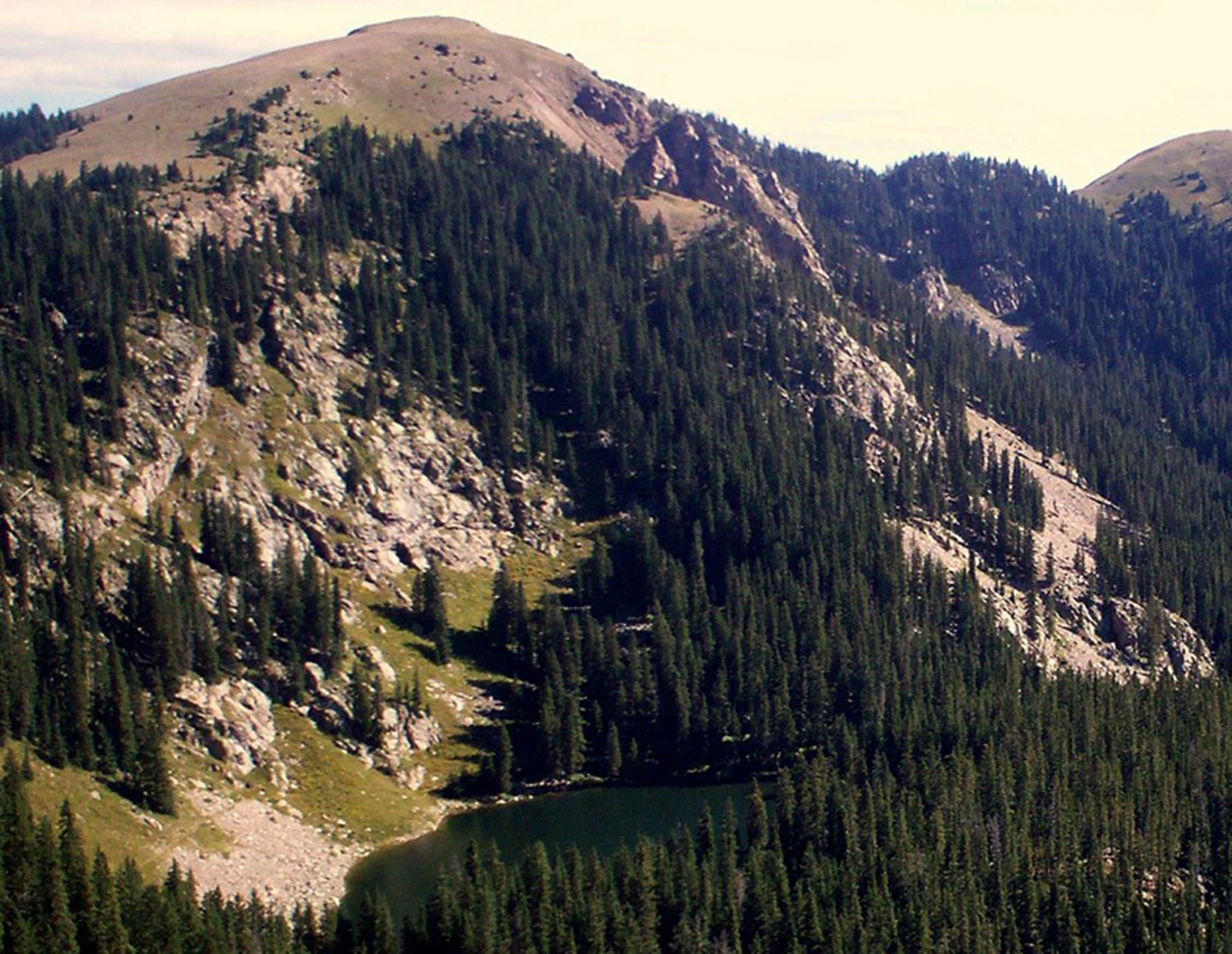
Rio Grande Cutthroat Trout abound in
all of Vermejo Park high-country.
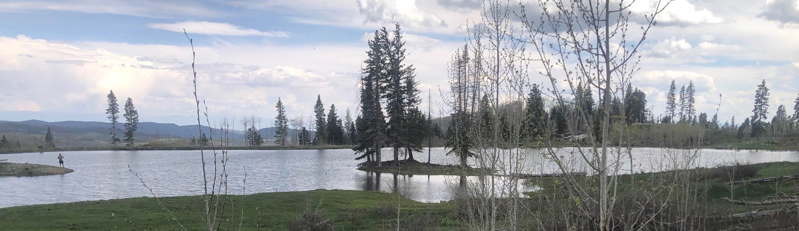
Costilla Reservoir appears in the
background of this photo.
GPS coords- 36.900472° -105.324559°
________________________________________________________________________________
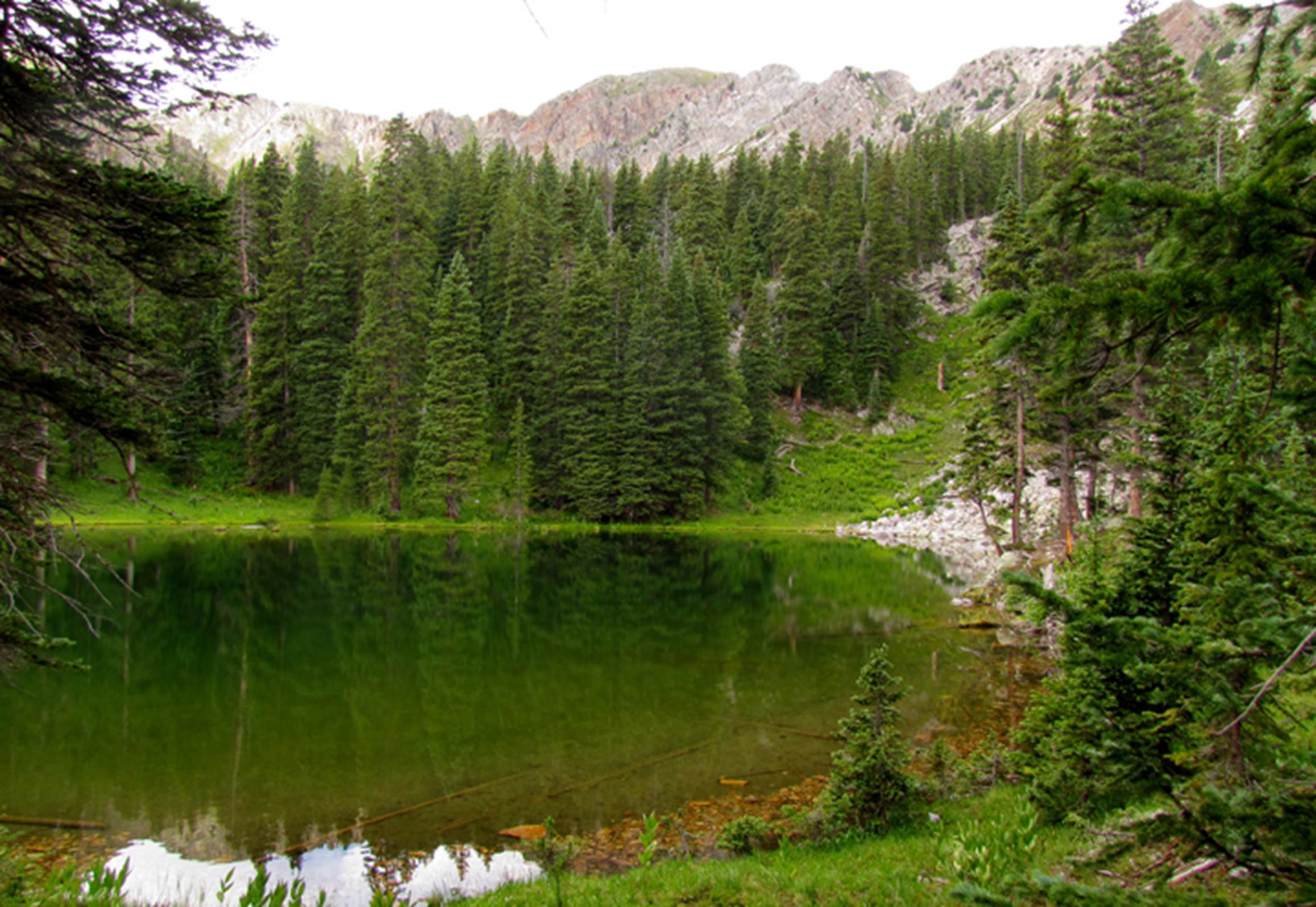
Costilla Park
Costilla Park borders Vermejo Park to
the west, topped by 12,700 foot high- Latir Peak and
endowed with a dozen gorgeous timberline lakes.
Entry fees here are more affordable than those of neighboring Vermejo
Park. Google: Costilla Park for prices.
see: https://www.dougscottart.com/hobbies/waterfalls/latirmap.htm
to access a FREE...!!! highly detailed map
…the highest of an amazing chain of
nine lakes, called Latir Lakes. High clearance, 2 wheel
drive vehicles can access Latir Lake #3… for a
reasonable fee…!!!
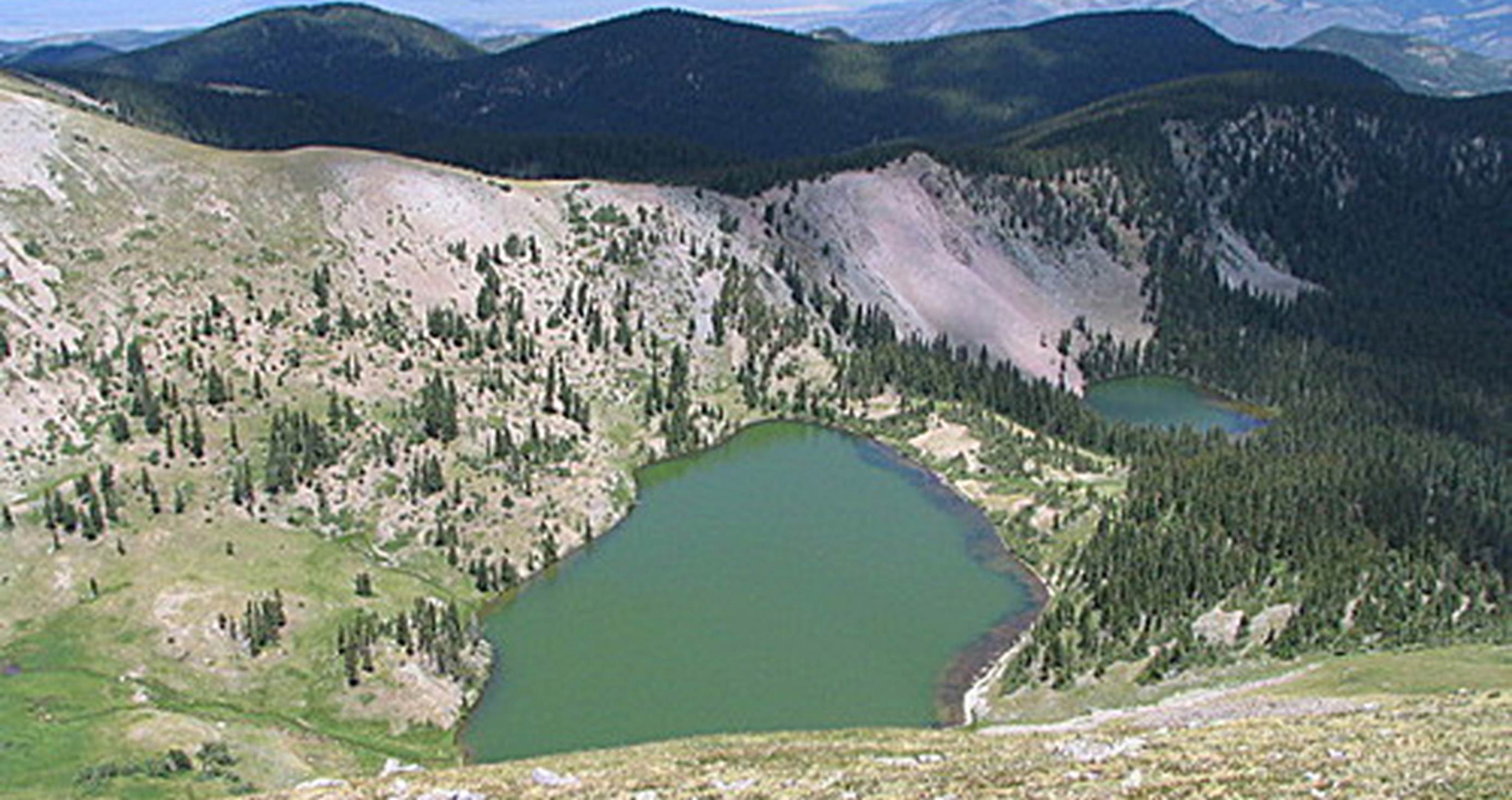
GPS coords- 36.801062° -105.470512°
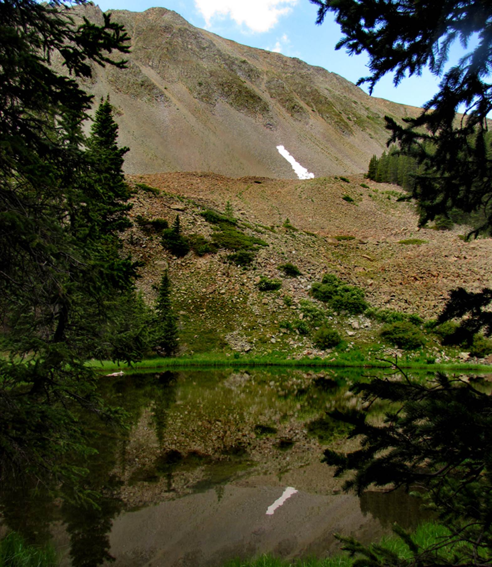
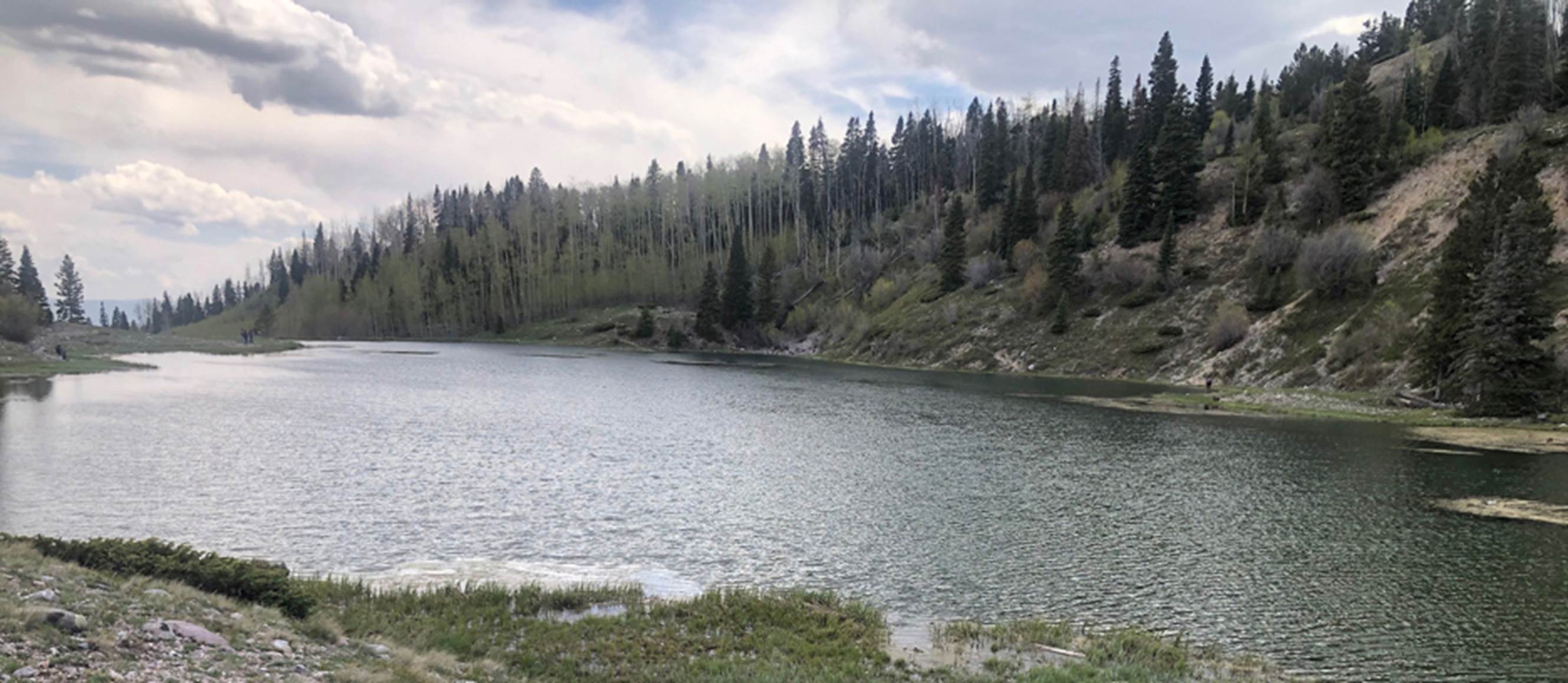
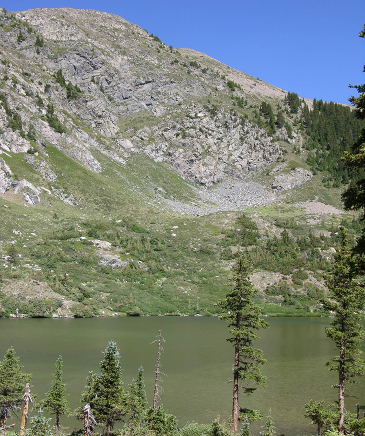
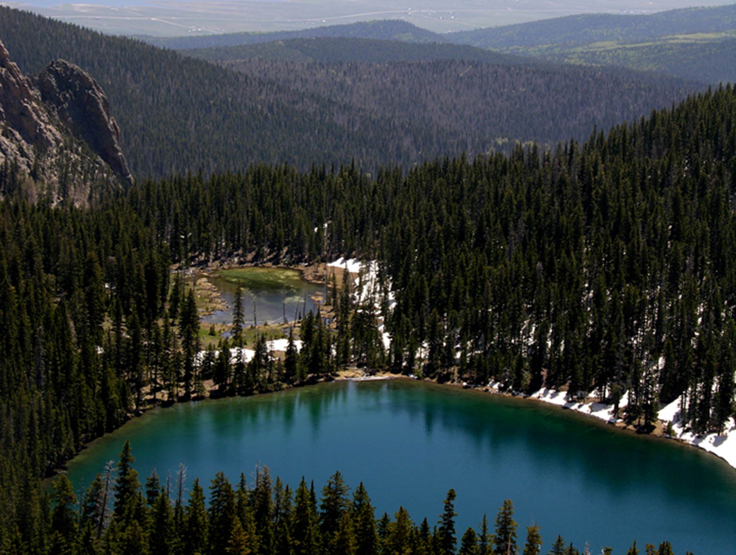
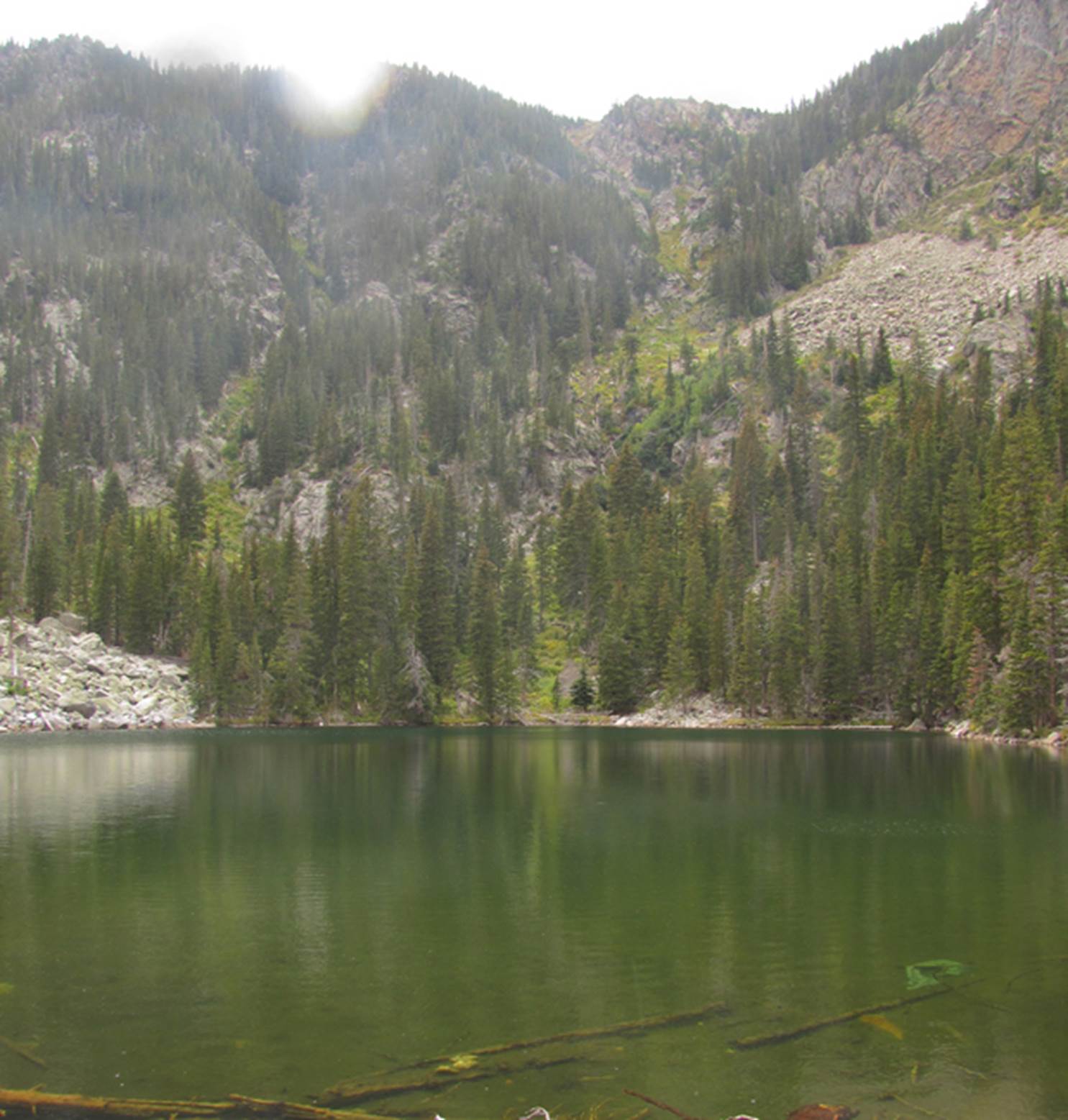
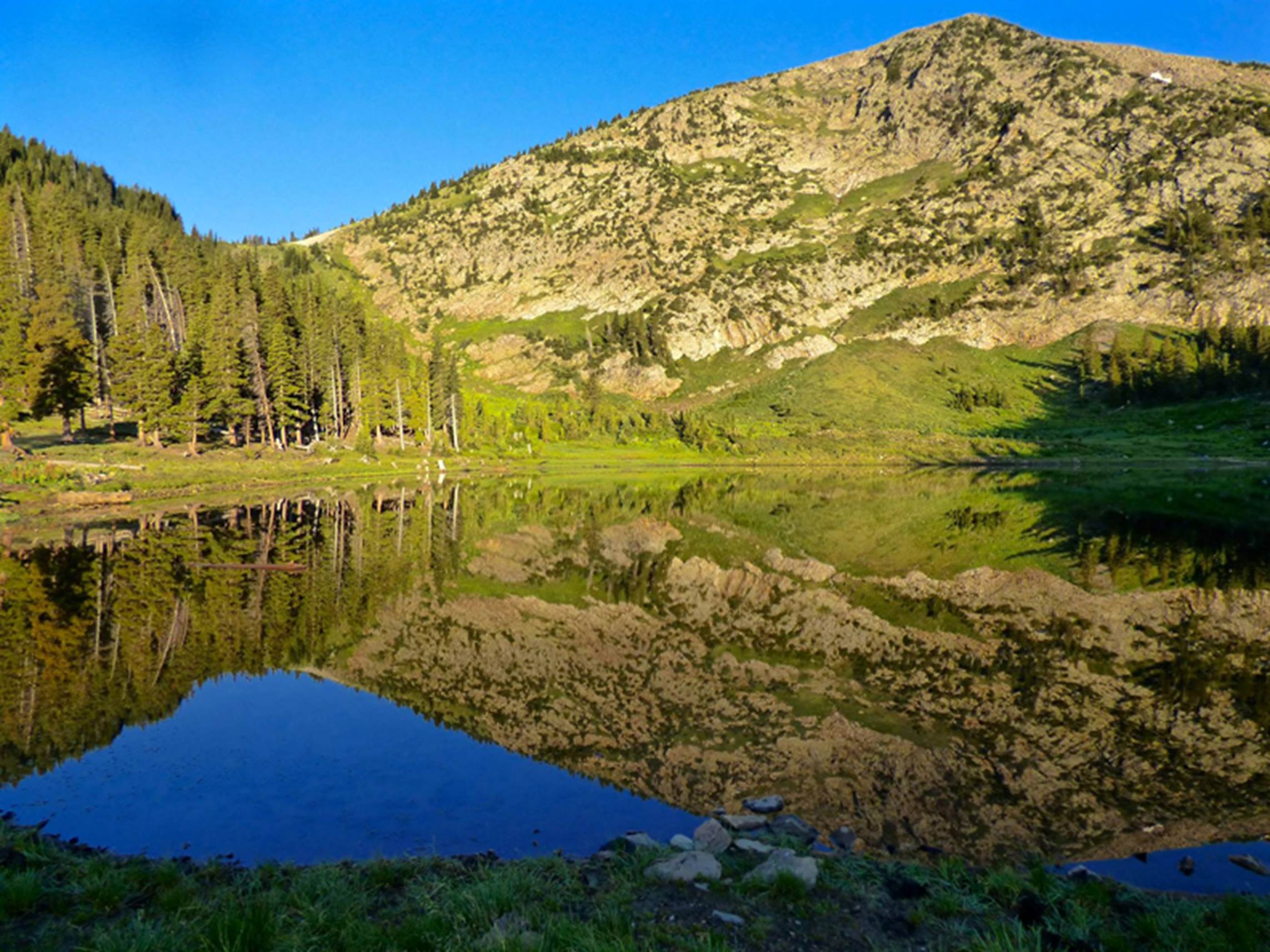
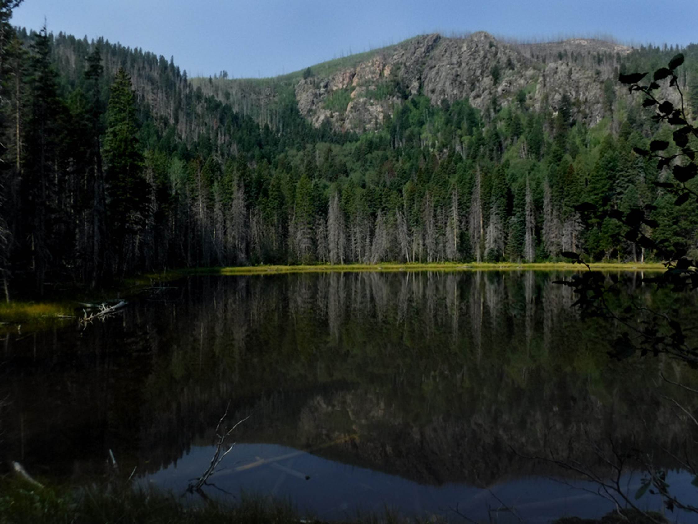
Baldy Blue Lake appears to be more green than it is blue…
Seen here from Baldy Mountain of the Latir
Wilderness
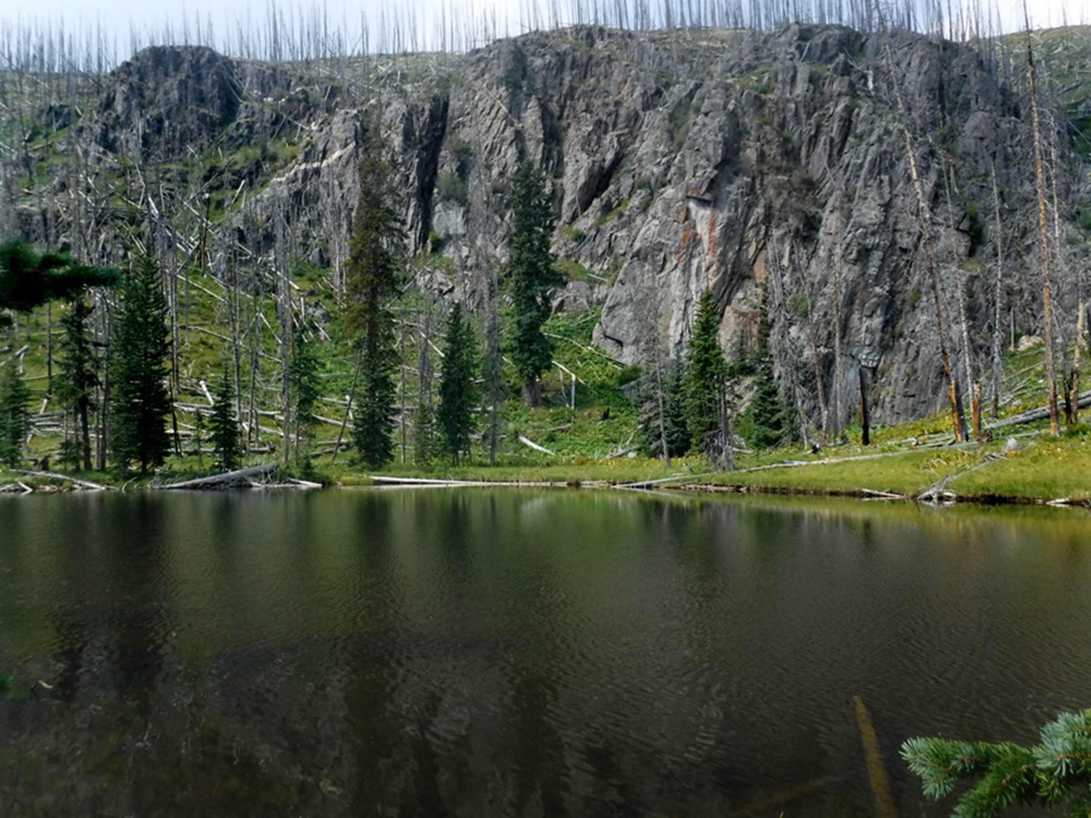
Right near Baldy Blue Lake and perhaps
hidden by trees, in this photo is another small high-country trout lake called
“Bear Lake.” Sorry I have no photo of it
to share with you…!!! Costilla Park
high-country lakes breed native Rio Grande Cutthroat Trout GPS coodrs-36.792480° -105.433069°
_______________________________________________________________________________________
Latir Wilderness & Vicinity
The next group of New Mexico
high-country lakes are found on public lands:
Carson National Forest’s Latir Wilderness
Area. This borders Costilla Park to it’s south side. see: https://www.dougscottart.com/hobbies/waterfalls/latirmap.htm
to access a highly detailed map, for free:
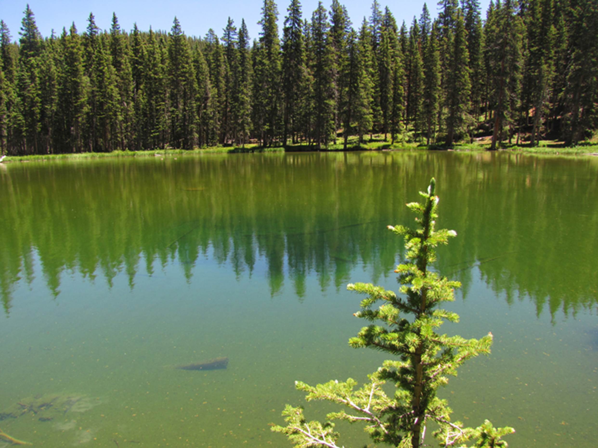
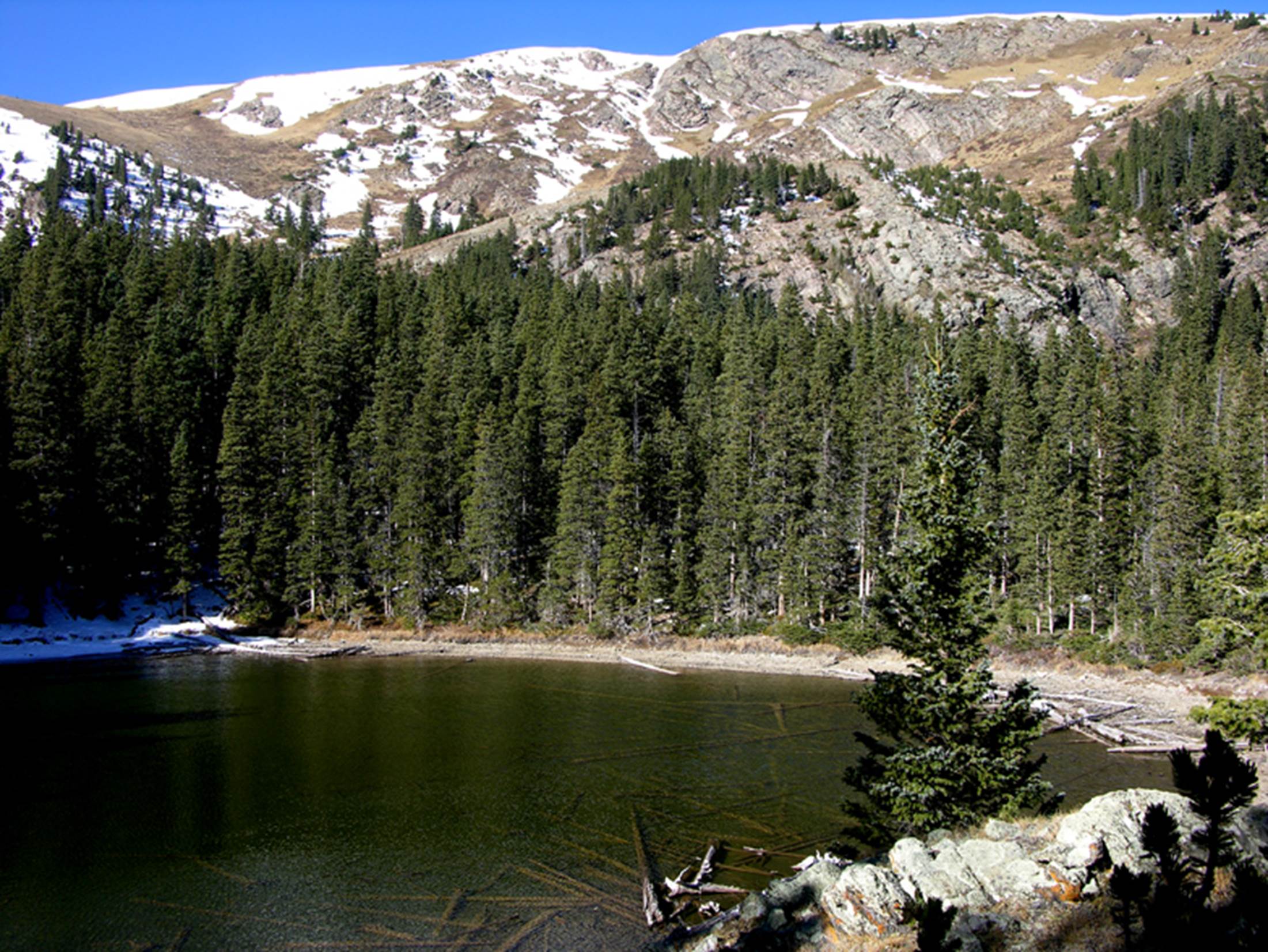
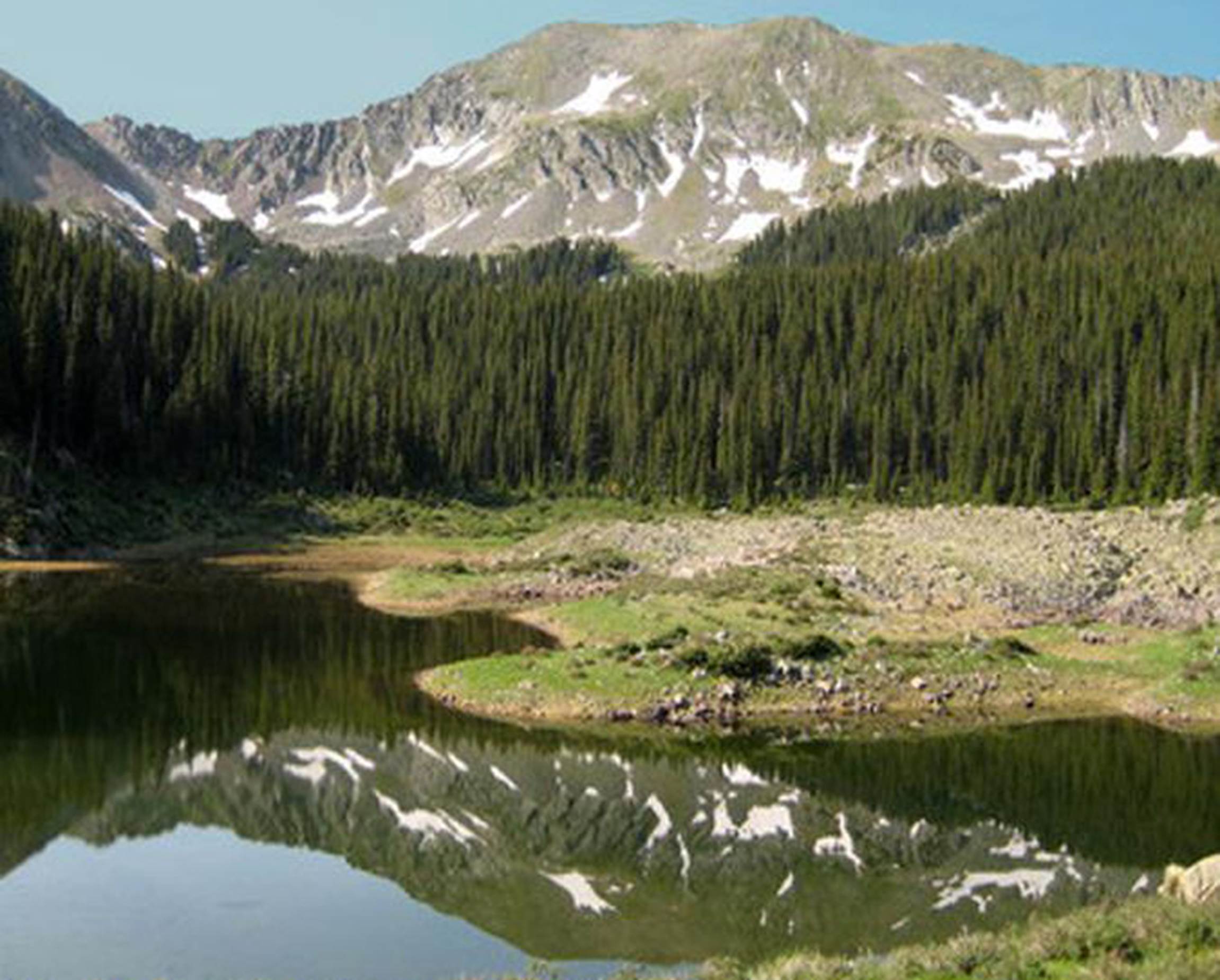
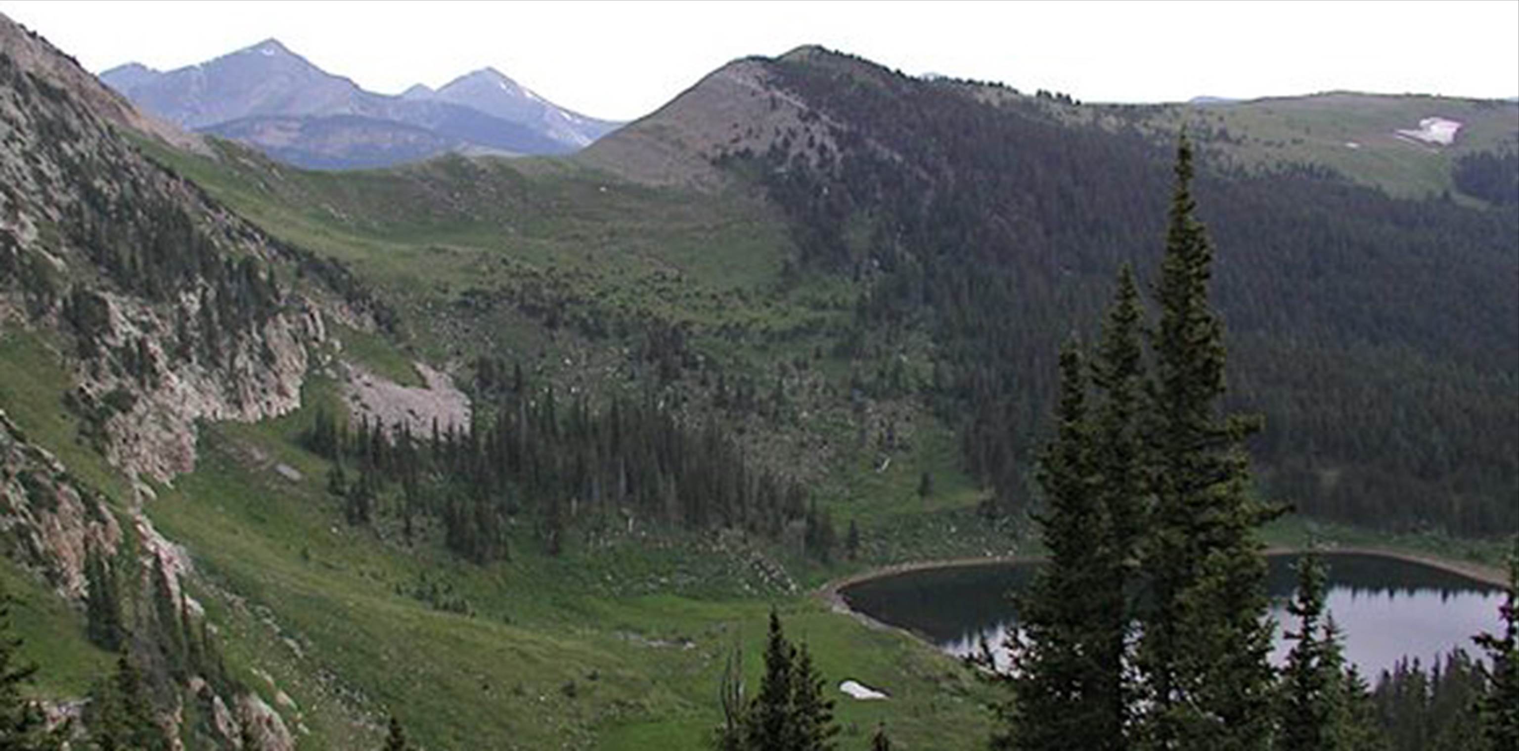
Heart Lake is the sparkling jewel of
the Latir Wilderness Area… and great trout waters….!
GPS coords- 36.789351°
-105.457128°
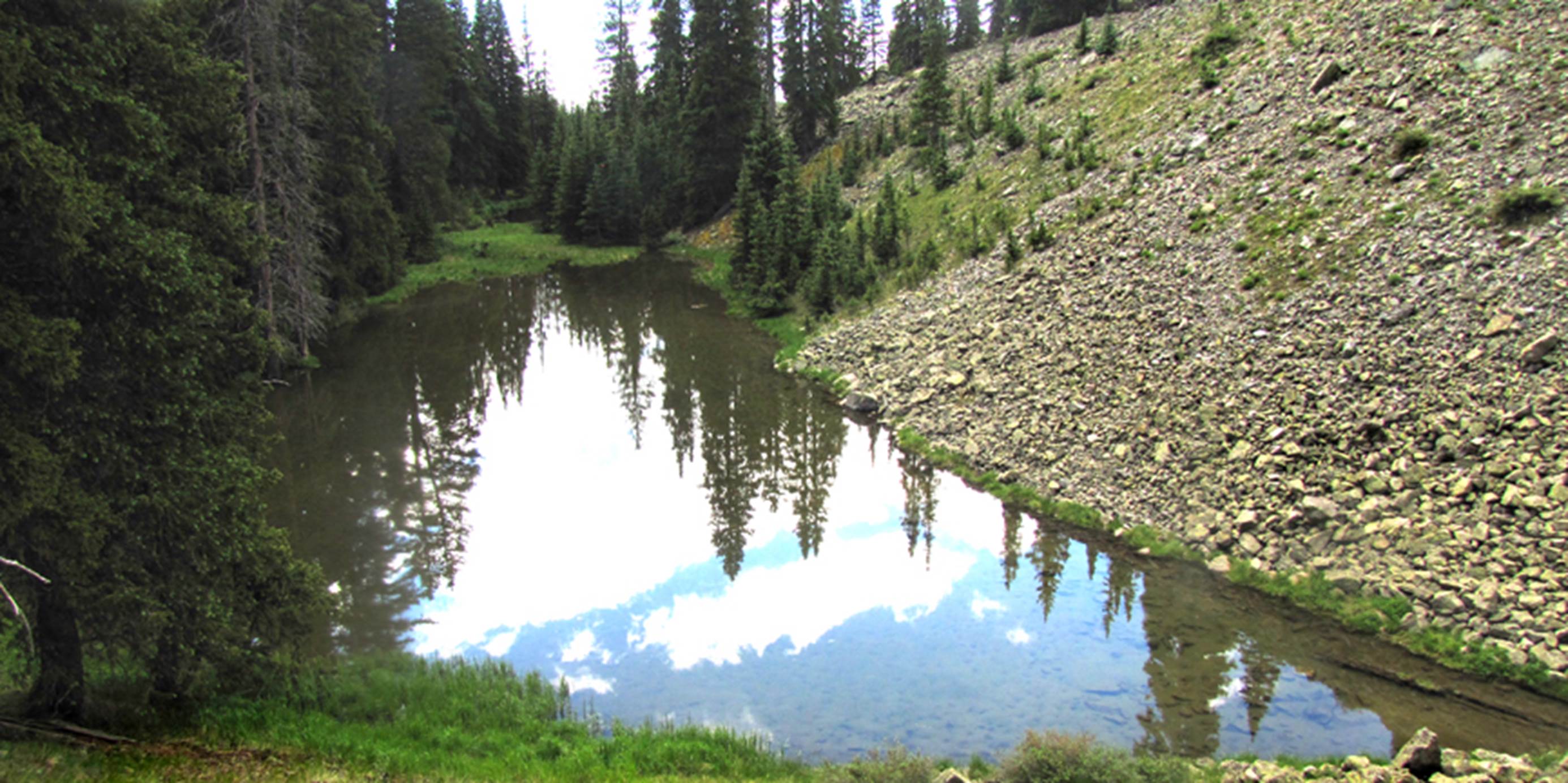
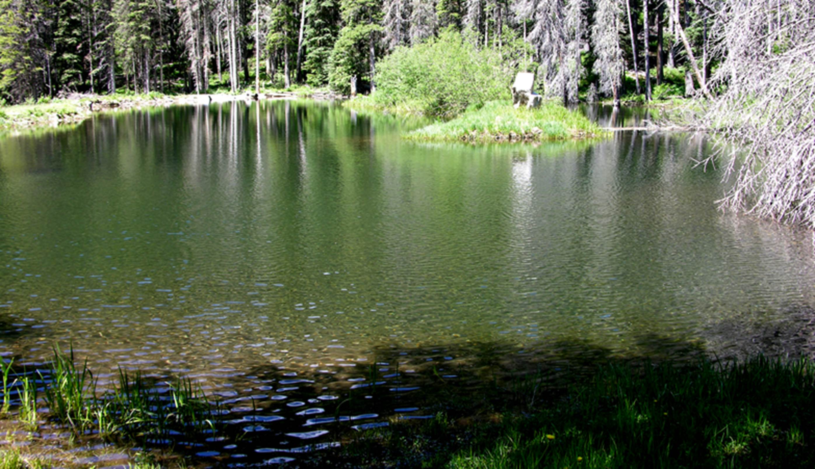
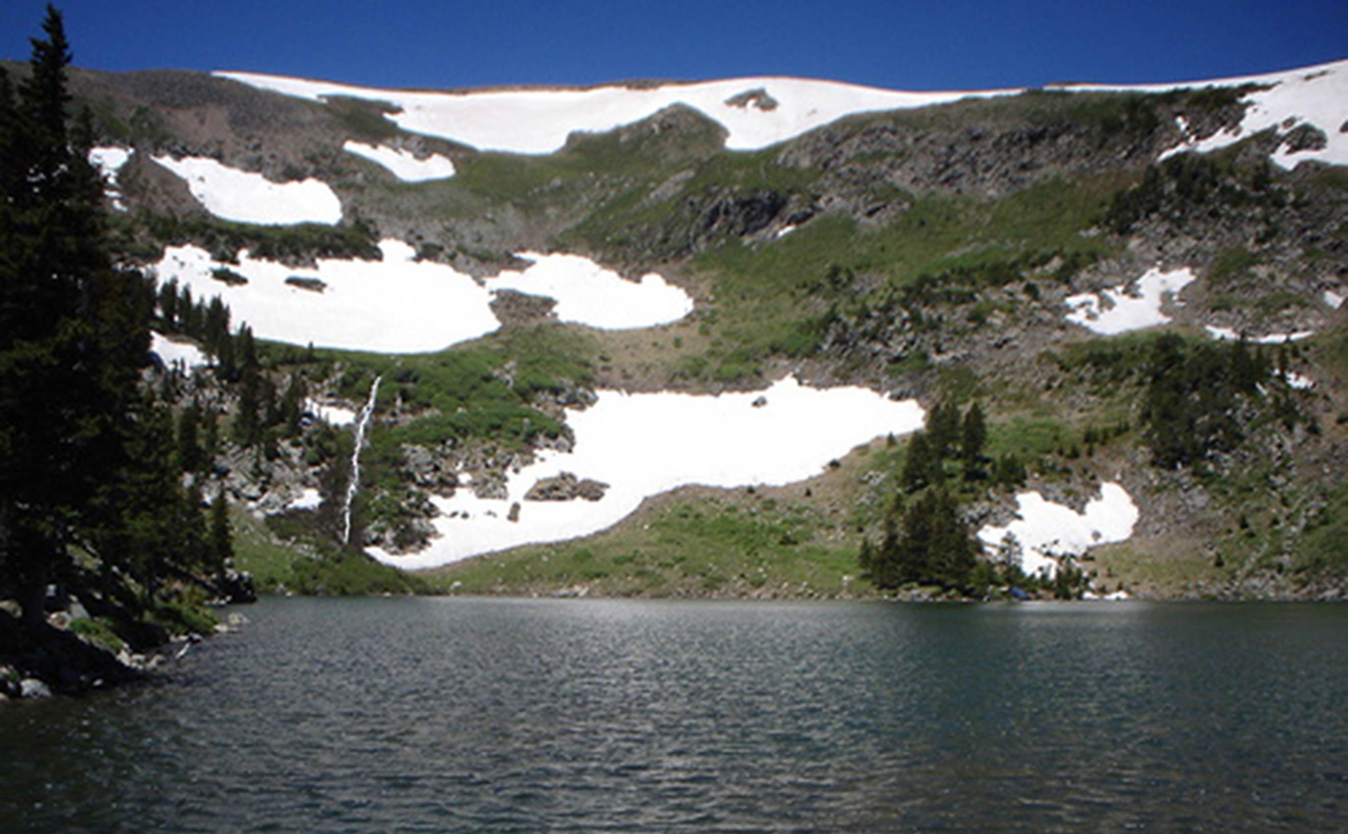
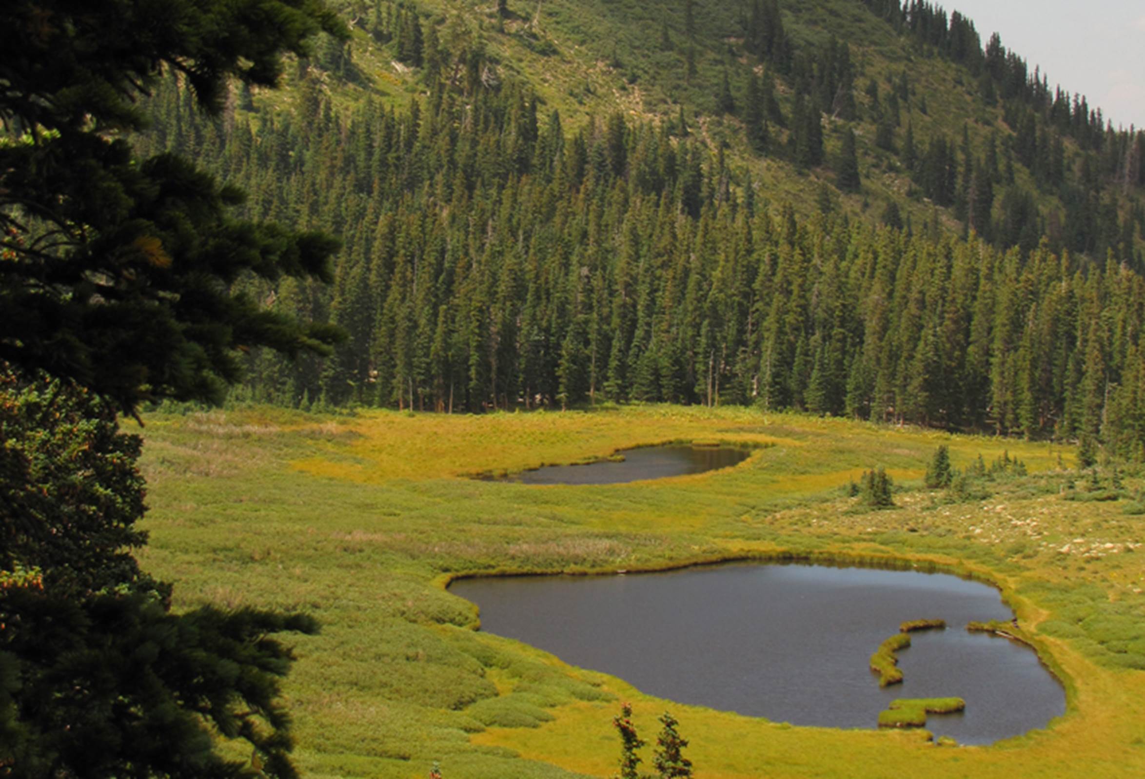
2 of the 3 ponds
called “Tres Lagunitas” or in English (3 ponds) appear in this photo… lush and
sweet up the headwaters of Lagunitas Fork Creek. This place
“Knocks-my-socks-off…!!!”
GPS coords- 36.786317°
-105.475748°
Here is the upper
lagunita of the two ponds shown in the photo above. The beauty here, far surpasses these
photos…!!!
GPS coords- 36.786317°
-105.475748°
…and here is the lower
most Tres Lagunitas pond:
GPS coords- 36.786317°
-105.475748°
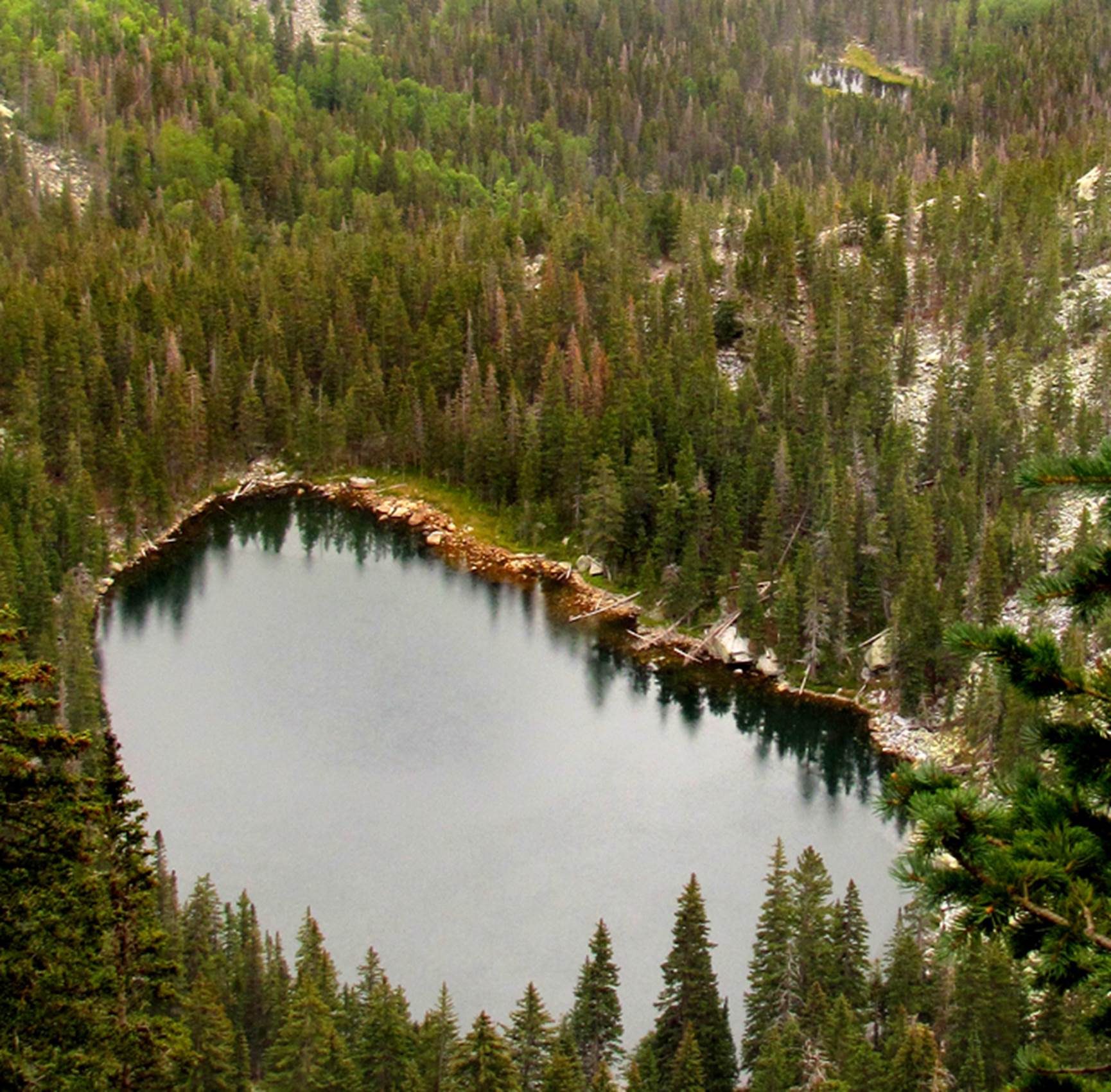
Elk Lake shown in this
next photo… appears near the center of the Latir Wilderness Area
GPS coords- 36.778419°
-105.487859°
_______________________________________________________________________________________
Chama Mountains &
vicinity
Chama Peak and Banded
Mountain are both over twelve thousand feet elevation and well above
timberline. They watch over all of the
beautiful Chama Mountains from above.
However, most of these lands are privately owned and controled as guest
resorts. Hiking, Camping and fishing
here is as good as it gets, but can be expensive. The majority of the lakes in the Chama area
are created by man-made dams.
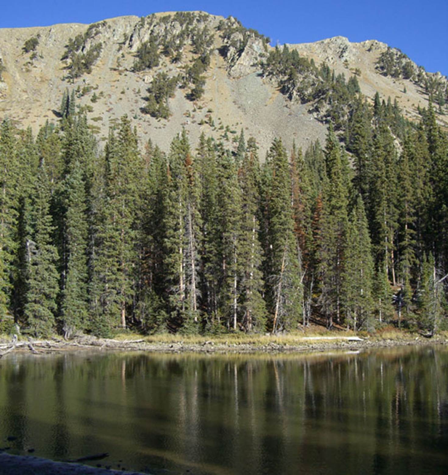
Of special mention
must be Hidden Lake displayed off of the northern slopes of 11,400 foot high
“Grouse Mesa.” It’s one-third of a mile
length makes this New Mexico’s second largest high-country “natural”
lake behind Black Lake in the Sangre de Cristo Mountains.
We regret having no
photo of this Hidden Lake but please enjoy this map:
GPS coords- 36.844850°
-106.413078°
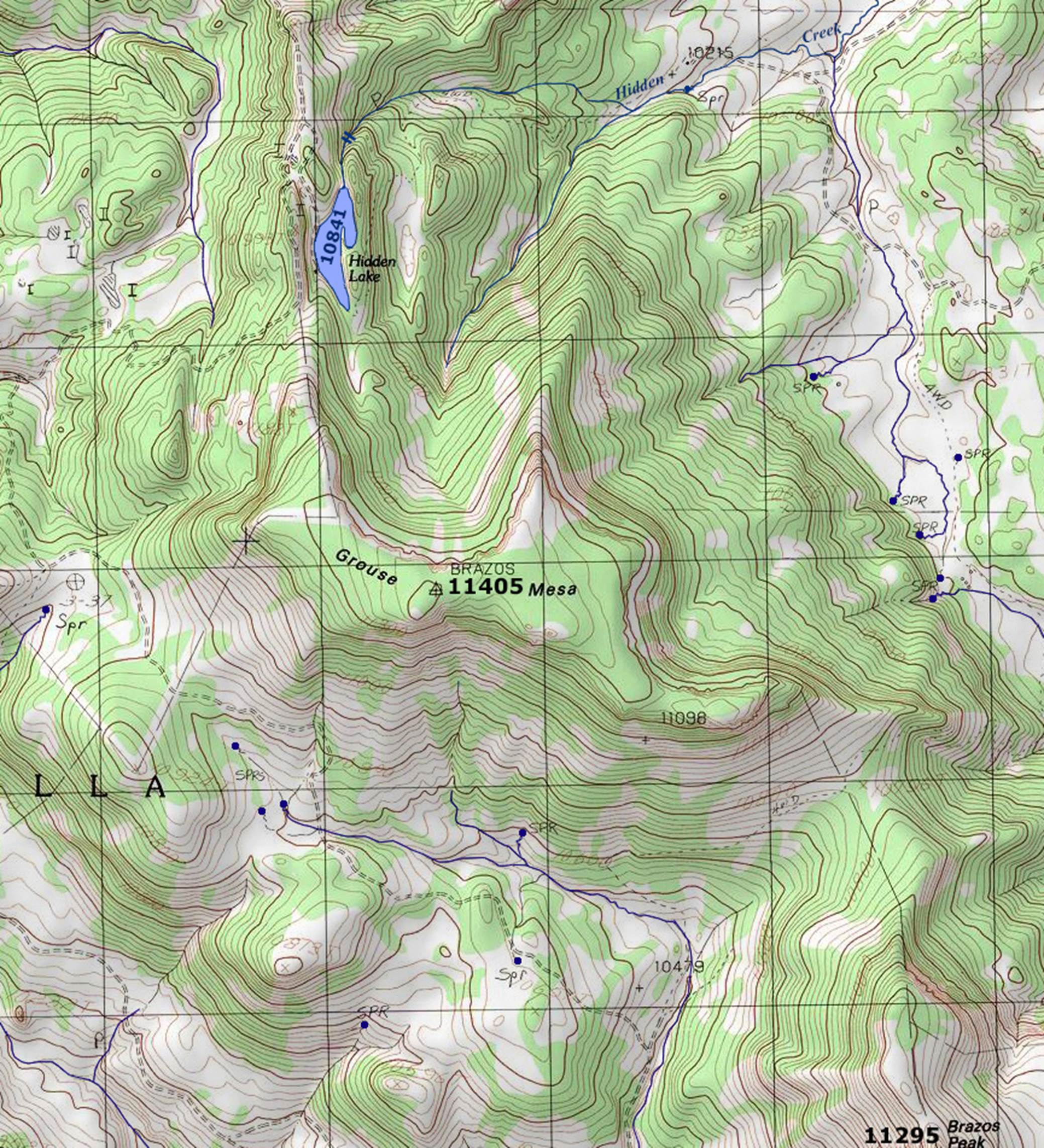
The southern reaches
of these Chama Mountains turn public, within Carson National Forest. The Canjilon Mountain vicinity is a favorite
exploring and fishing area for me.
Carson Forest Road #125 accesses the lower Trout Lakes but the Upper
Trout lakes are accessed only by a short and sweet, un-marked trail. Cutthroat trout replace non-native trout
speises in the higher elevations.
GPS coords- 36.605916°
-106.374134°
Right-click-save-as
to own a FREE hard copy of our map below:
and LOOK there is another Hidden Lake…!!!
Someone
please share a photo with us, of Burns Lake and/or
Hidden Lake, shown on the map above…
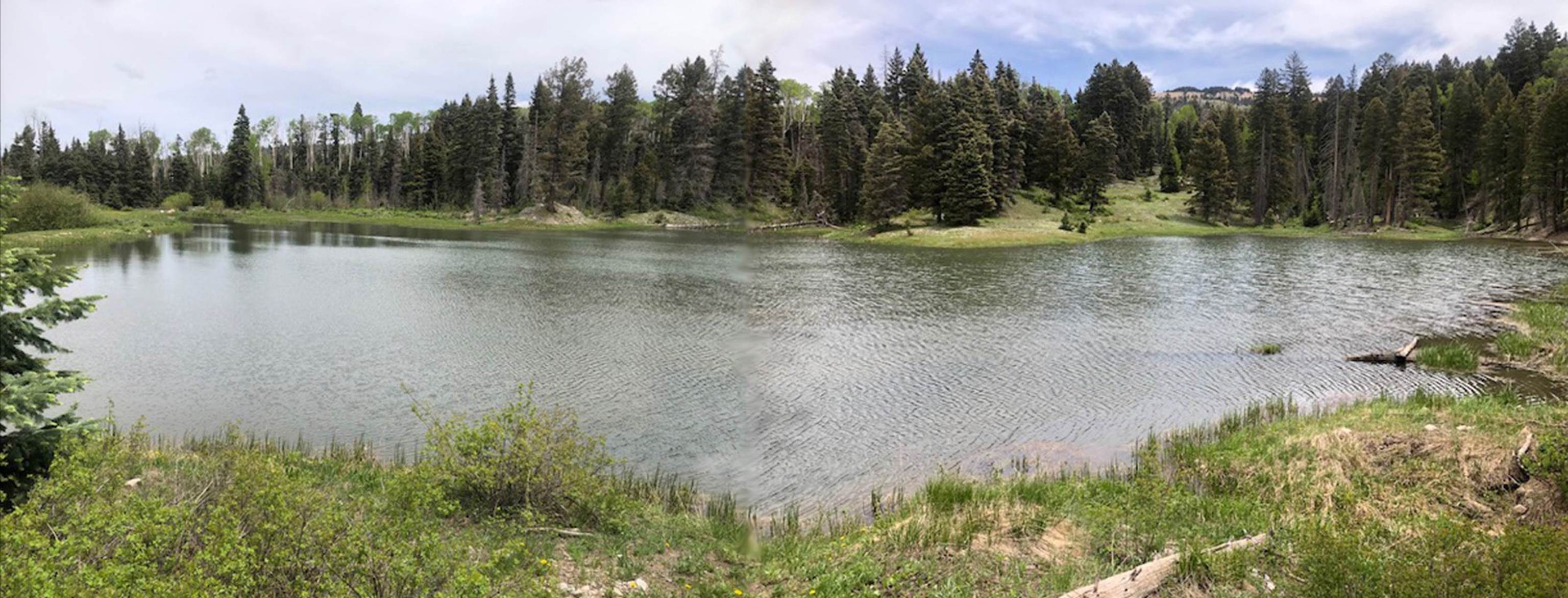
Another
small but very fine Trout Lake is immediately below Upper Trout Lake
GPS coords- 36.605916°
-106.374134°
Nearby
are the four, well-known Canjilon Lakes. Middle Canjilon
Lake appears here in this photo below…
GPS coords- 36.556674°
-106329898°
AND
the upper most Canjilon Lake hosts a popular terminal
along the infamous Continental Divide National & Scenic Trail…!!!
GPS coords- 36.562910
° -104.329482°
_______________________________________________________
Columbine-Hondo Wilderness and vicinity
12,700 foot high “Gold Hill” crowns
this lightly visited wilderness area. A
half-dozen natural lakes huddle amongst several mountain peaks here, above
timberline. see: https://www.dougscottart.com/hobbies/waterfalls/TaosMtnsMap.htm
for a FREE highly detailed map.
A short hike from a 4WD jeep road south
of Red River, NM brings you to Pioneer Lake.
GPS coords- 36.662917
° -105.455784°
Gold Pond is a “treasure” to be
discovered at the base of Gold Hill
GPS coords- 36.649141°
-105.446888°
…and of course: the queen of the
Columbine-Hondo- Goose Lake has it’s
own 4WD access
GPS coords- 36.636472°
-105.449764°
Privately owned Mirror Lake is “No
Trespassing” bordering the Columbine- Hondo Wilderness.
GPS coords- 36.617930°
-105.420730°
Columbine Lake is quite scenic and
secluded, but RARLEY visited
GPS coords- 36.620527°
-105.514478°
Cow Lake, nestled under twelve thousand-foot high Lobo Peak, deserves a better name.
Although it is likely named after a female elk rather than a moo cow…!!! It is a very nice lake…!!
GPS coords- 36.615256°
-105.539306°
___________________________________________________________________________________
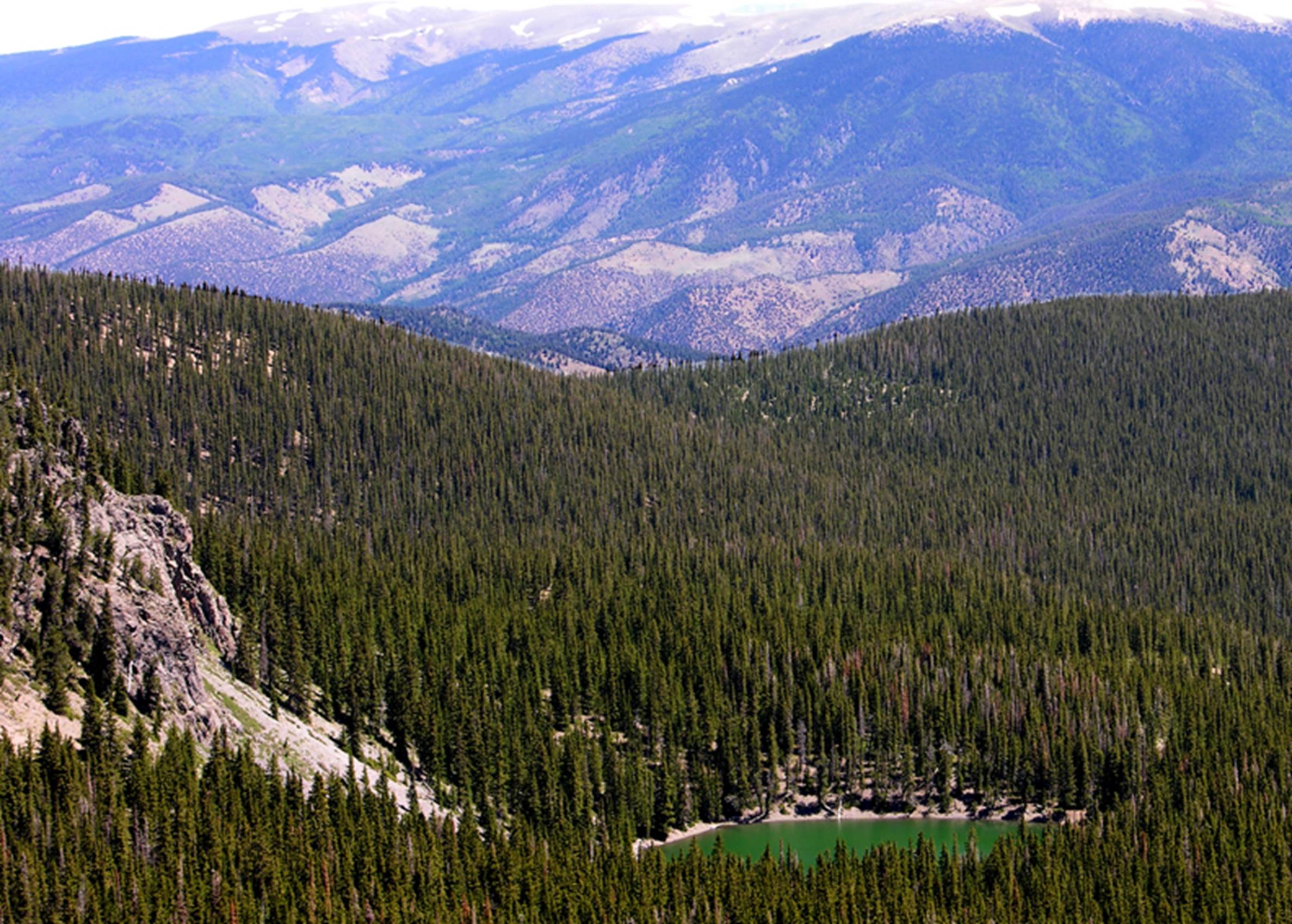
Wheeler Peak Wilderness Area
The emperor here is the King himself:
13,161’ Wheeler Peak. He rules over 15
high alpine mountain peaks, all of which tower above timberline and who possess
15 high-country natural lakes scattered throughout his entire domain.
see: https://www.dougscottart.com/hobbies/waterfalls/TaosMtnsMap.htm for a FREE, detailed map.
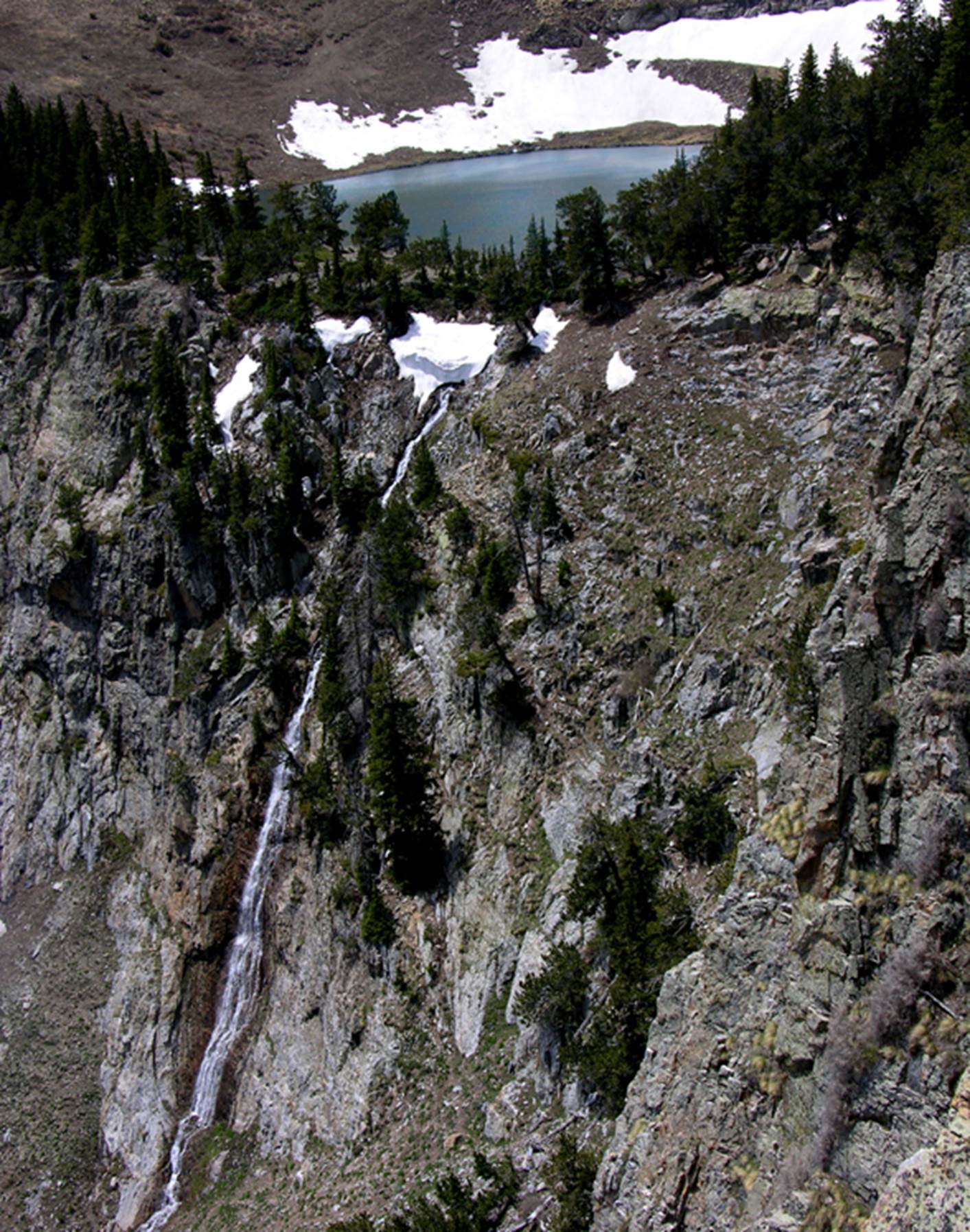
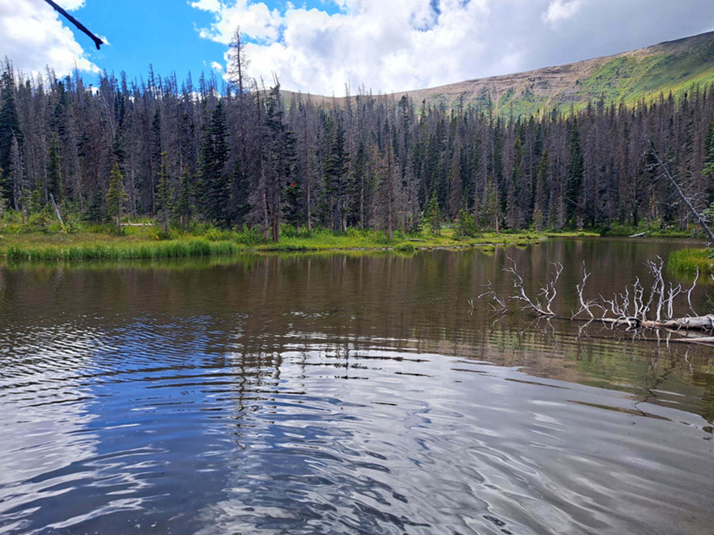
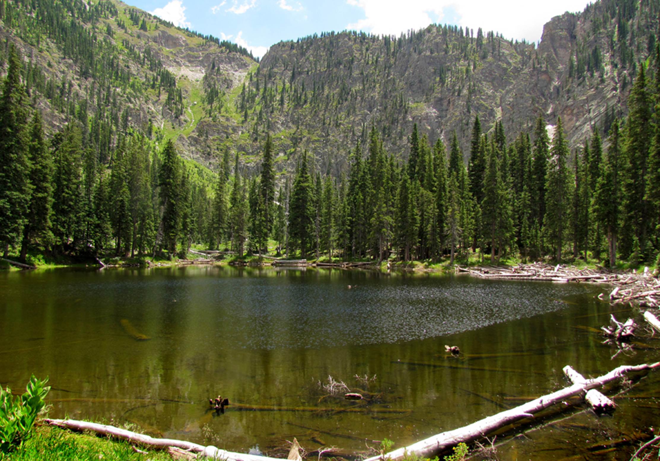
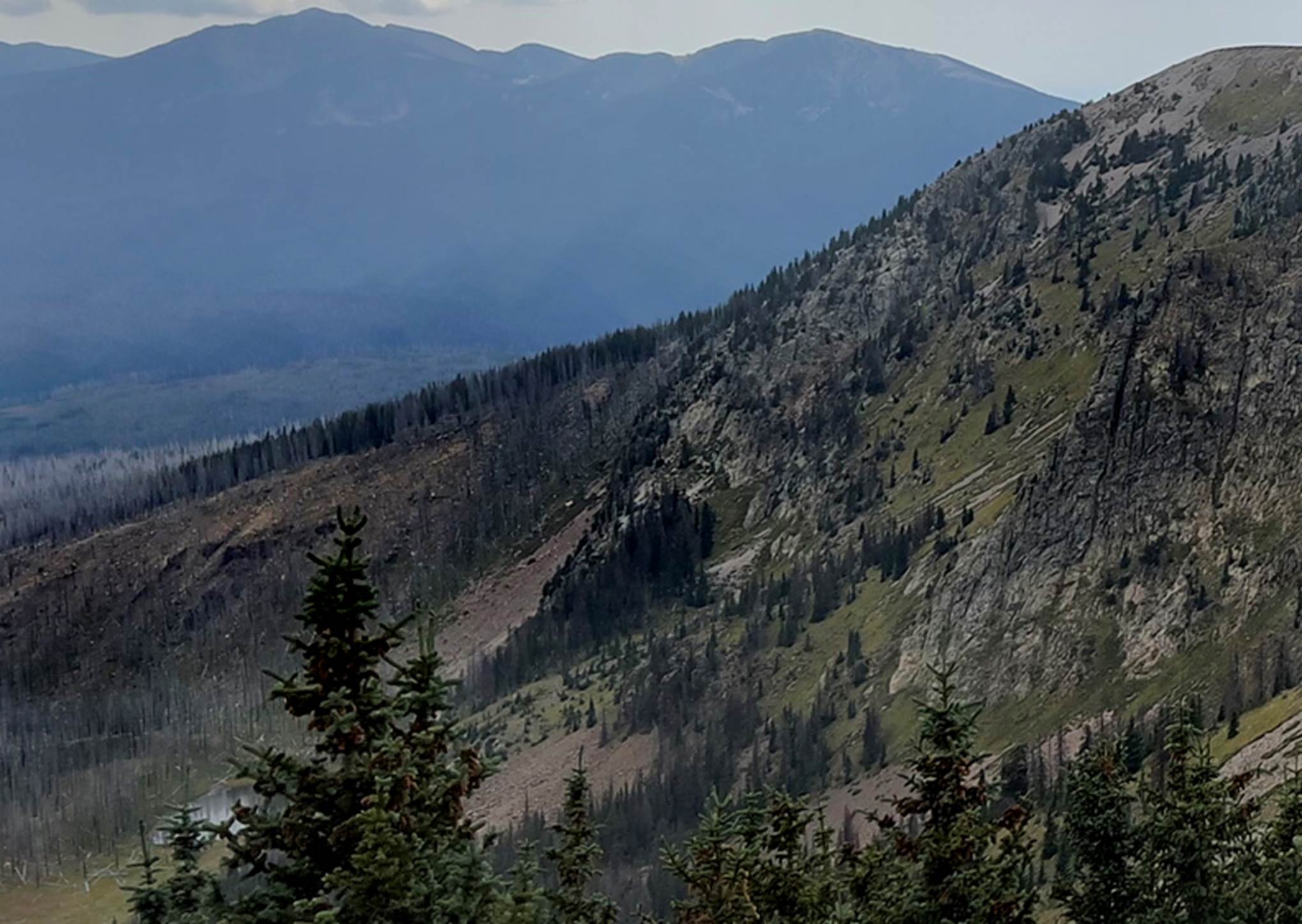
Middle Fork Red River Lake has a strong
trout population along with amazing echoing splashing acoustics from it’s 100’ high waterfall above! Take a hike around the lake to experience
these amazing acoustics
GPS coords- 36.595635°
-105.417346°
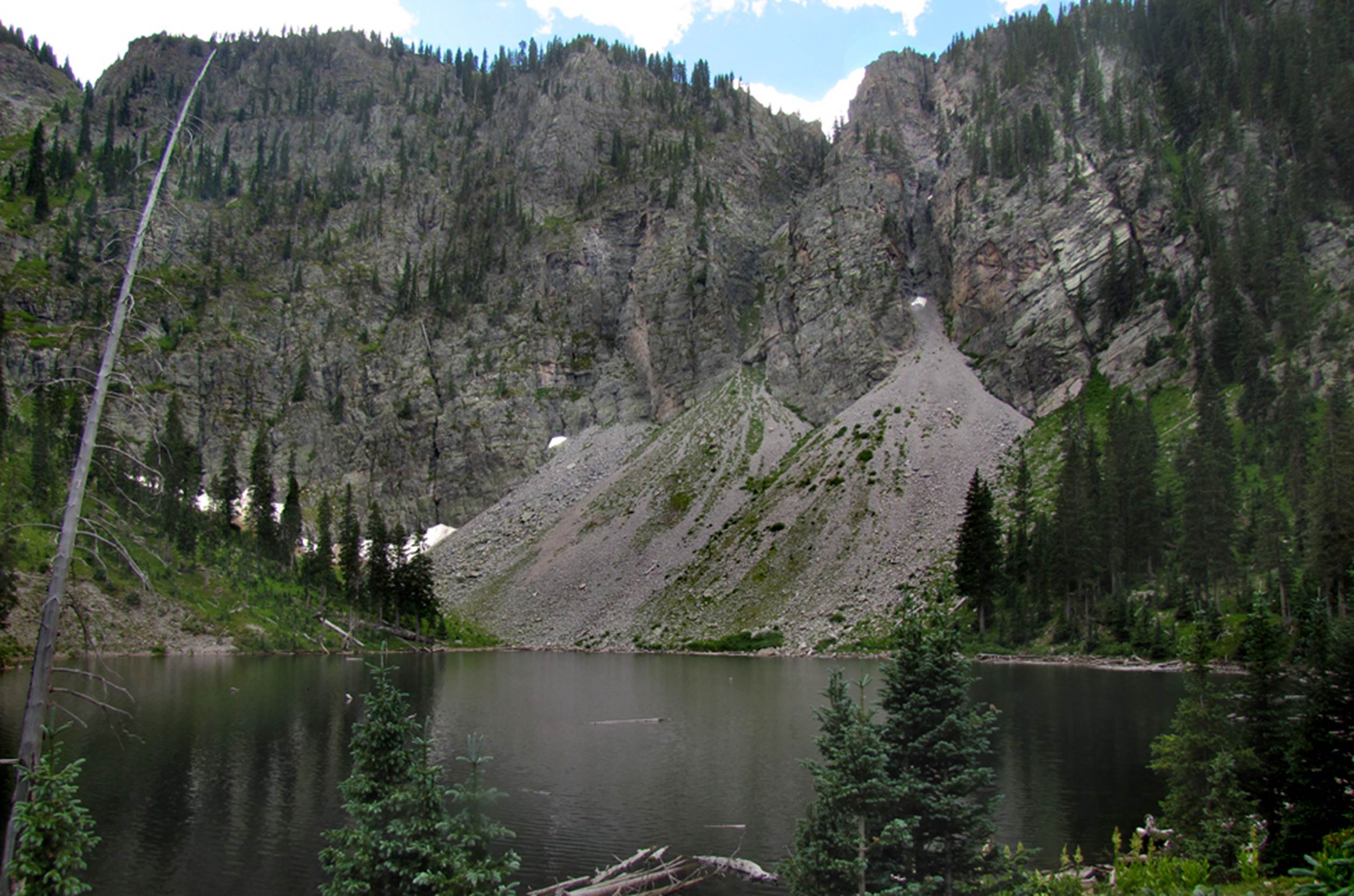
Frazier Lake hides nearby…
GPS coords- 36.588348°
-105.418232°
And continuing south to Lost Lake… a
big one…!!! It’s snow-melt, waterfall is
flowing white and frothy…!!!
GPS coords- 36.577955°
-105.404514°
Higher yet… Horseshoe Lake…!!! Which at 11,990’, likely rears the highest
elevation, native cutthroat trout in New Mexico…!!!
GPS coords- 36.564536°
-105.405632°
The beautiful teal waters of Turquoise Pond entises day
hikers from Taos Ski Valley. Lake Fork
north summit dominates the backdrop.
GPS coords- 36.568126°
-105.438346°
Another half mile
south is Ernie’s Pond, in route to summit 12,800’ - Lake Fork Peak.
GPS coords- 36.559296°
-105.440998°
New Mexico’s most popular lake hike:
Williams Lake, has 12700’ Godoi Mountain for a backdrop…!!! Godoi is the original Taos Pueblo name for
this massive mountain.
GPS coords- 36.557407°
-105.429301°
At 12,024’ Taos Pueblo’s- Godoi Lake is
the highest elevation lake in New Mexico.
Photographed here, on July 4th. It is still holding on to it’s ice…!!! No fish survive the long winters here. Godoi Mountain and 13,100’ Old Mike Peak
create a grand, massive back drop…!!!
GPS coords- 36.540970°
-105.441283°
While elk leave their foot prints in
Hondo Pond, up the headwaters of the South Fork Hondo drainage.
GPS coords- 36.540970°
-105.441283°
Godoi Lake, Bear & Little Bear
Lakes along with Star, Waterbird and Larkspur Lakes as well as the infamous
Blue Lake… are all on Taos Pueblo Lands.
No white man has any legal access.
Here is how Taos Pueblo’s Blue Lake appears from the top of public land,
Old Mike Peak 13,113’.
GPS coords- 36.538313°
-105.390830°
But Star Lake with it’s
300’ high waterfall is likely, the most beautiful…!!!
GPS coords- 36.528244°
-105.391520°
_________________________________________________________________________
Taos Mountains
Now take a look at the Taos Mountains
that lie between the towns of Taos and Angel Fire. There are no designated Wilderness Areas
here, but I have found as much solitude in some of these areas than I have
found within official Wilderness Areas.
There are roads throughout these mountains but solitude abounds between
the roads. These Mountains peak out,
right at 12,000’ (timberline) Cerro Vista Mountain. Some nice, scenic high-country lakes grace
this area, including: New Mexico’s largest, is well over a half mile long and
about a third of a mile wide…!!!
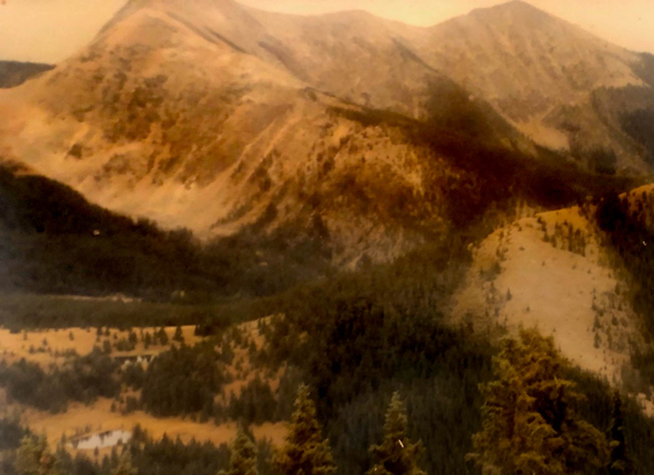
Unfortunately… Black Lake is privately
owned and NO TRESPASSING…!!!
,
We apologies for the fuzzy Photo and we
hope to replace it with a better shot soon.
There are a couple scenic, roadside pull-offs to view Black Lake. I wish we had a drone…!!! GPS coords-
36.275272° -105.264683°
Bernaden Lake, Angel Fire Lakes and
Romero Lake are all man-made, as are several others, both named and un-named.
But Huero Lake is natural appearing
under Cerro Vista Mountain at timberline.
Huero means “blondie” in English.
GPS coords- 36.223722°
-105.413057°
…And La Cueva Lake is small but meets
our criteria for this website. A Pam
Neely photo
GPS coords- 36.184149°
-105.479434°
__________________________________________________________________________________
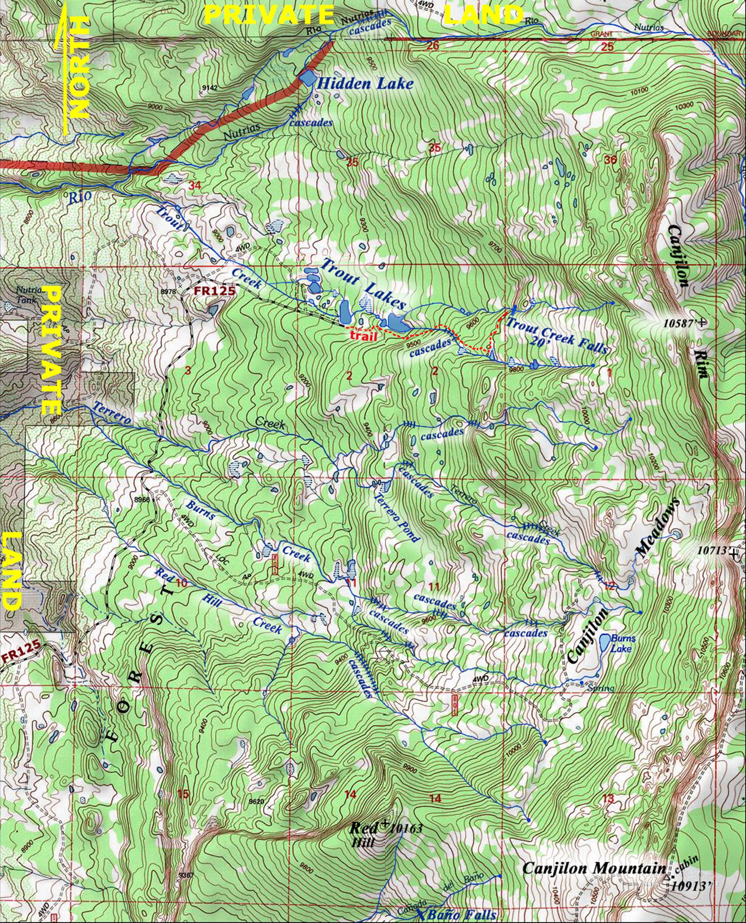
Pecos Mountains
Access our best topo maps: https://www.dougscottart.com/hobbies/waterfalls/pecosmap.htm
for FREE...!!!
This includes all of the Pecos
Wilderness and it’s surrounding Vicinity. A dozen named timberline peaks are laced
together here by a continuous string of uninterrupted tundra more than 20 miles
long. Stretching from near Ripley Point
southward past Pecos Baldy Mountain.
This divide summits out at 13,102’ - South Truchas Peak and hosts some
40 or more lakes and ponds. The northern
most is Indian Lake:
I’m told that Indian Lake is much
prettier, free of summer moss during the month of May. GPS coords-
36.120882° -105.520274°
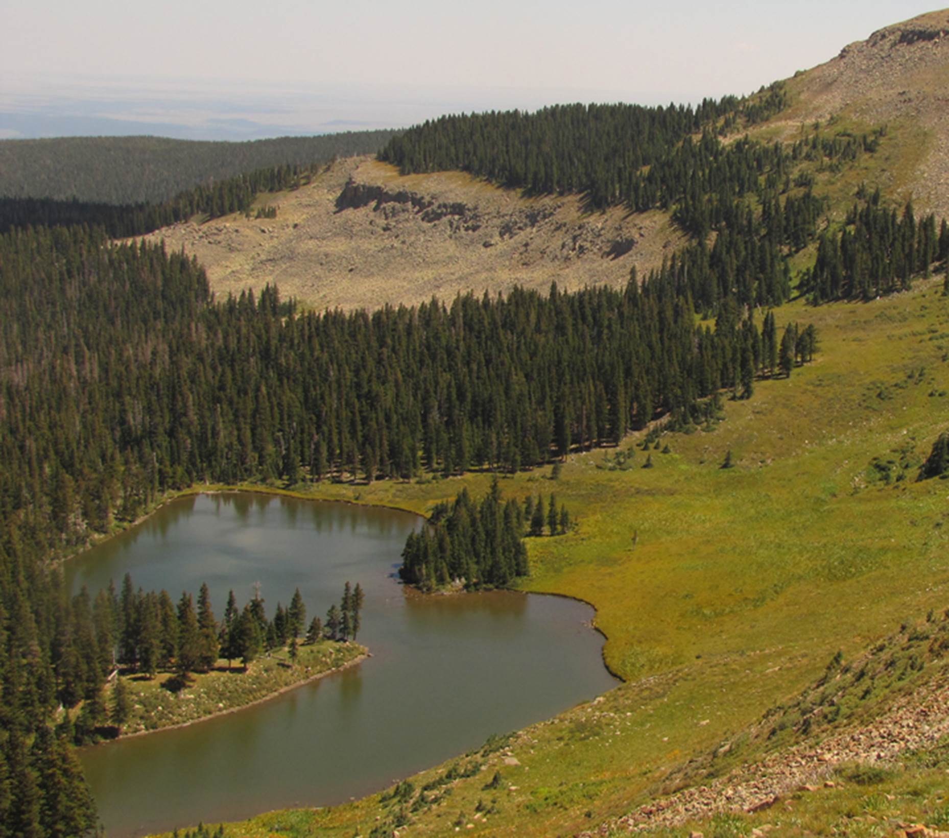
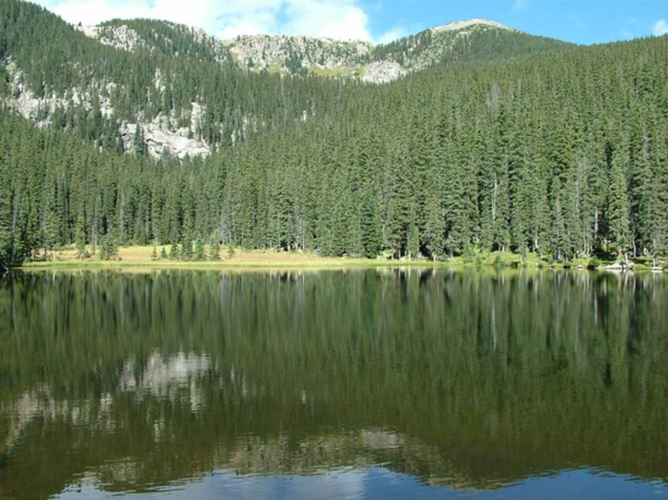
Laguna Angostura is cradled below
12,510’ Angostura Peak. Large Polywogs thrive here… but no trout. A Pam Neely photo.
GPS coords- 36.068396°
-105.543286°
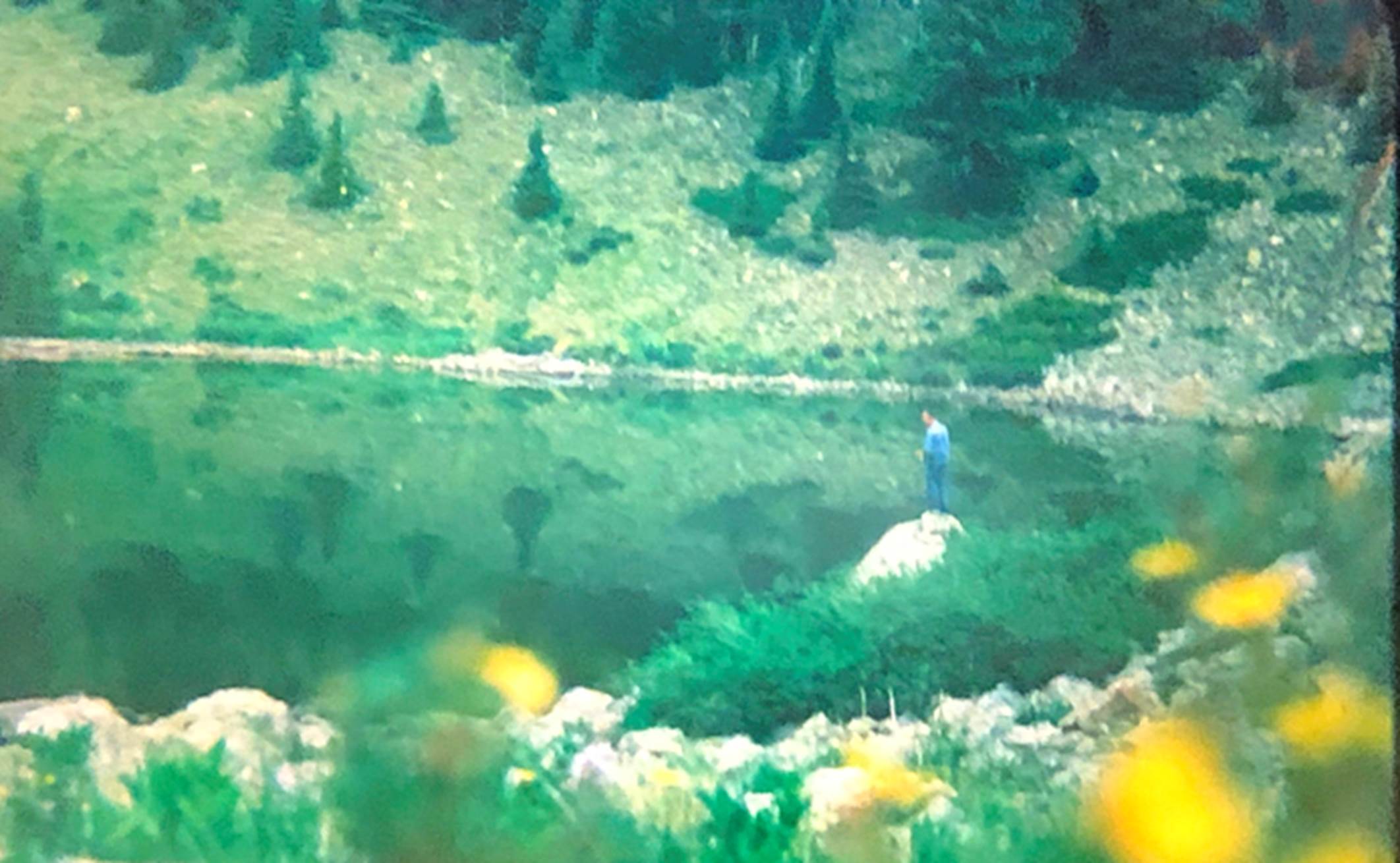
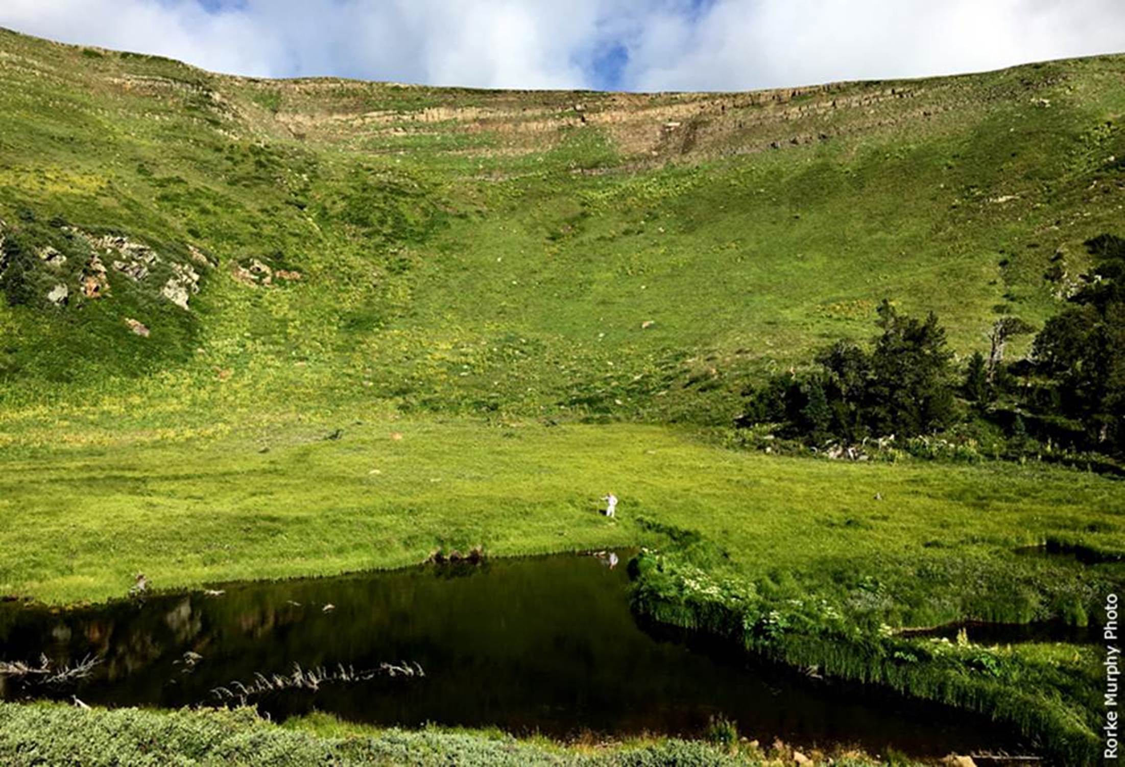
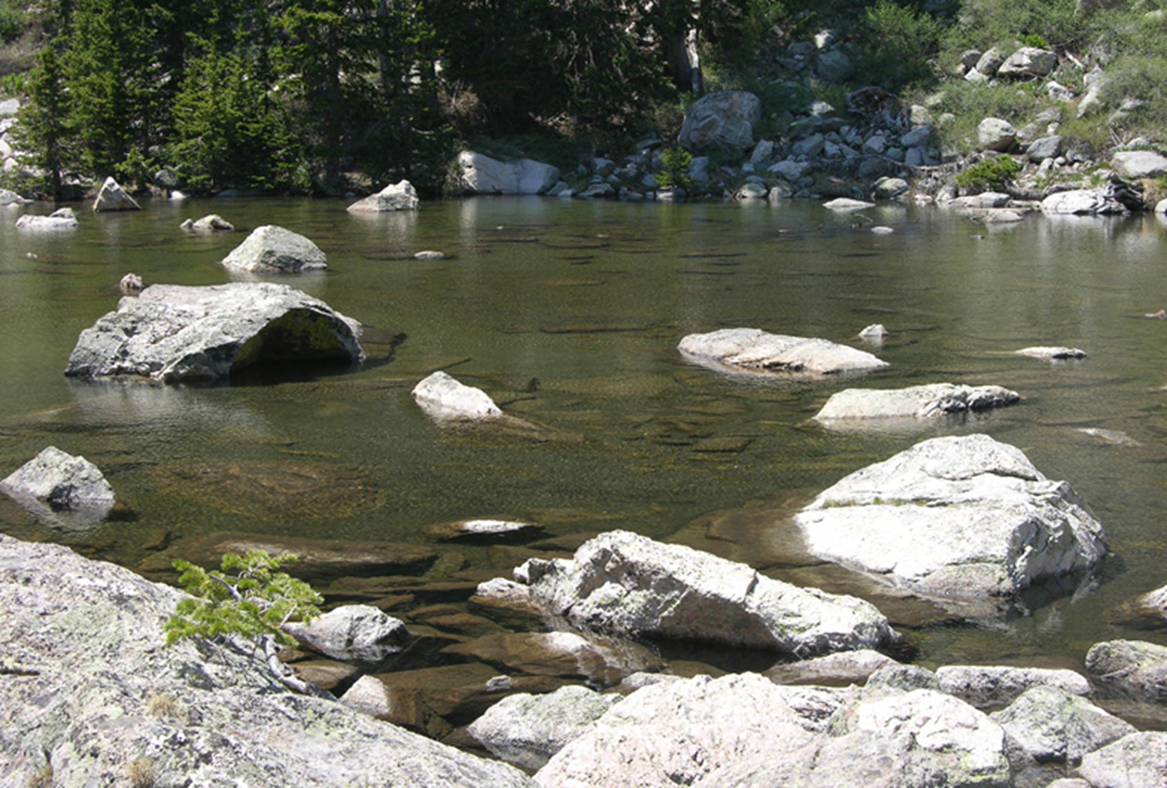
A lone angler tries his luck at Serpent
Lake. The grass clumps resemble a
serpent, dipping partially under water, while swimming across the lake.
GPS coords- 36.046553°
-105.542187°
There are 4 small lakes here at Serpent
Lake. #4 pictured below is the lowest
elevation. A Kimberly Miller photo
GPS coords- 36.049938°
-105.536862°
We refer to this next lake as Alamitos
Lake, even tho it is labelled as Horseshoe Lake on
maps today. IT IS NOT A HORSESHOE SHAPE… !!! Especially when
compared to the Horseshoe Lake in the Wheeler Peak Wilderness Area. Wheeler Peak’s Horseshoe Lake has a real and
definite horseshoe shape. This lake does
not… and the entire upper loop of Alamitos Lake, often goes completely dry
during drier times. This Lake lies at
the headwaters of “Alamitos” Creek and therefore it’s name is: “Alamitos” which in English = Little
Aspen.
GPS coords- 36.019193°
-105.533944°
A herd of elk graze amoung
the snow drifts above nearby, North Fork Lake…
a Nate Bartnick photo
GPS coords- 36.011199°
-105.526341°
…a 30 year old
photo of me fishing up the Middle Fork Santa Barbara, at Polywog
Lake… Polywogs here are a foot long and more…!!
,
GPS coords- 36.015679°
-105.587994°
San Leonado
Lake keeps it’s winter snow drifts, every day of the year, all year
long…!!! Yes- New Mexico has places with
year round snow drifts.
GPS coords- 36.000663°
-105.650320°
Little San Leonardo Lake is very close
by. Neither of these lakes have inflow
or outflow… they do not support any trout.
GPS coords- 36.002375° -105.649965°
The name- “Hidden Lake” has only been
used on newer maps. The original name of
this lake is Lake Ruth. Both maps and
books of fifty and more years ago list the name: Lake Ruth. Even Eliot Barkers writings and maps of a
hundred years ago label this lake as “Lake Ruth.”
GPS coords- 36.005095°
-105.637387°
The same story here: Upper Trampas Lake
was originally named 100 years ago as “LAKE HAZEL” See the fish jumping…!!!
GPS coords- 35.993422°
-105.637218°
AND- Lower Trampas Lake, hunnerd years ago was orinally
“Lake Alice.” We have returned to the
“original” names for these lakes…!!! And
all 3 lakes have native cutthroat trout.
GPS coords- 35.992616°
-105.635508°
Green Lake… It’s easy to see where that
name “Green” comes from…
GPS coords- 35.987399°
-105.624666°
People believe No Fish Lake has no fish
because of low oxygen levels. We believe
that waterfalls have blocked fish out.
Stock it with Rio Grande Cutthroat Trout and they will thrive. Because the inflowing water is a HUGE GUSHING
cascade…!!!! Full of oxygen, nitrogen and everything
fish need. “No fish Lake” could well
become “ FISH LAKE.” A Kimberly Miller Photo
GPS coords- 35.982475°
-105.621577°
Middle Fork Lake feeds the Middle Fork
Rio Casa
GPS coords- 35.991882°
-105.529667°
Yours truly standing
on the banks of Upper Saniago Lake… an emerald pool in velvet green…!!!
GPS coords- 35.960159°
-105.490075°
Cutthroat trout love Santiago Lake
GPS coords- 35.959794°
-105.494724°
…and immediately downstream from
Santiago is- Pacheco Lake
GPS coords- 35.961618°
-105.481691°
While Enchanted Lake sparkles in the
next circ, about a half-of-a-mile south
Both of these photos are of Enchanted
Lake however, the tiny un-named pond in the distance below Enchanted Lake, has
more Cutthroat trout, than any of the larger lakes nearby. GPS coords-
35.950375° -105.481239°
Recent forest fires have destroyed Lost
Bear Lake. It is now silted-in… and we
have no photo of it…!!! GPS coords- 35.950739° -105.534125°
Hunky Dory Lake is down, right “Hunky
Dory” with astounding beauty but no trout.
GPS coords- 35.985600°
-105.662617°
Quemado Falls Pond just west of Quemado
Falls is highly populated with native cutthroats.
GPS coords- 35.981502°
-105.652487°
Truchas Lakes – in English “Truchas”
translates into the word- “Trout” – Wheet-whew…!!!
GPS coords- 35.970374°
-105.635411°
!3,100’ South Truchas Peak looms above
Jose Vigil Lake… a fisherman’s dream.
GPS coords- 35.955715°
-105.649679°
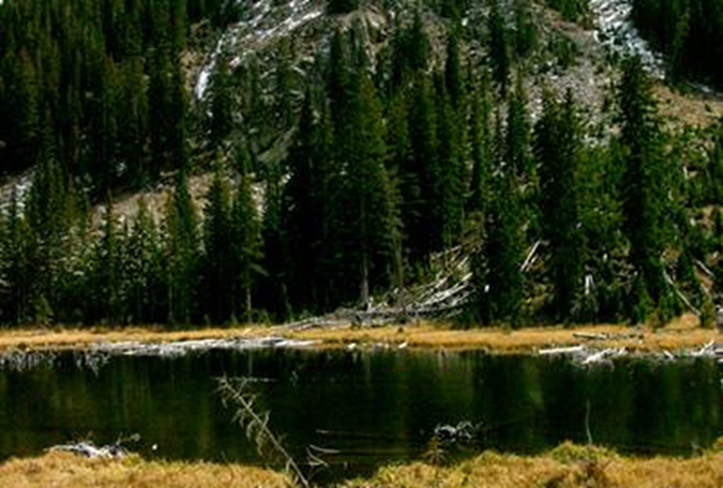
The Medio Ponds can be seen here in the
lower left side of this old fuzzy photo.
They are small and have no fish.
GPS coords- 35.938873°
-105.647768°
Cristal clear Poso Asul “Blue Pool”
rests beneath Trailriders Wall south of Truchas Peaks
GPS coords- 35.933479°
-105.633276°
Pecos Baldy Lake below Pecos Baldy
Mountain… a very popular fishery.
GPS coords- 35.912488°
-105.647487°
Also at Pecos Baldy Mountain, is
“Laguna Perro”. a small perennial pond that I’m told supports some native
cutthroat trout. It hides in the
southern shadows of Pecos Baldy Mountain.
We have never confirmed this claim.
However, we would love for you to check it out for us, send us a photo
of the fish AS WELL AS A BETTER PHOTO OF LAGUNA PERRO…!!!
This Neil Grady photo of Pecos Baldy
Mountain is the only photo I have ever seen, showing any of Laguna Perro, which
can be seen down in the lower left-hand corner of this photo. It is currently, badly burned.
GPS coords- 35.904275° -105.663958°
Lake Johnson is a healthy lake and
native Cutthroat Trout perform splendid, spawning rituals up the inflow
creek.
a Nate Bartnick photo
GPS coords- 35.854844°
-105.737147°
In this 40 year old,
fuzzy photo, a Ptarmigan takes flight over the turquoise blue- Oscura Lake, as seen here from Santa Fe Baldy Mountain-
12,622’
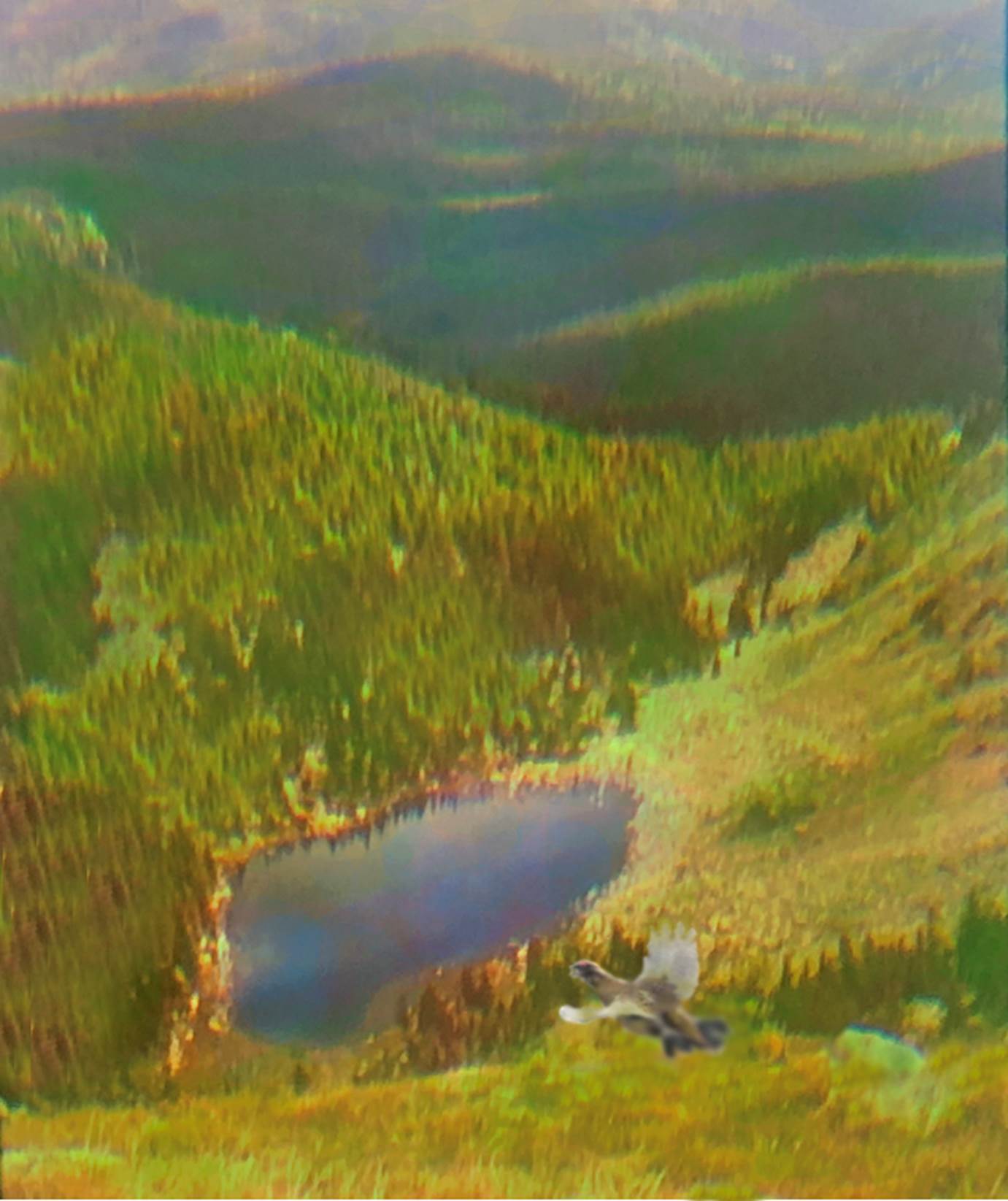
GPS coords- 35.840634°
-105.745519°
Lake Kathern was named after Kathern
Chaves Page - by Robert Oppenheimer.
Yes, that Robert Oppenheimer.
GPS coords- 35.833853°
-105.752179°
“Kathy Pond” is immediately downstream
from Lake Kathern on the Winsor Trail.
Even tho it
is shallow, it holds some huge Rio Grande native Cutthroat Trout:
GPS coords- 35.833104°
-105.748740°
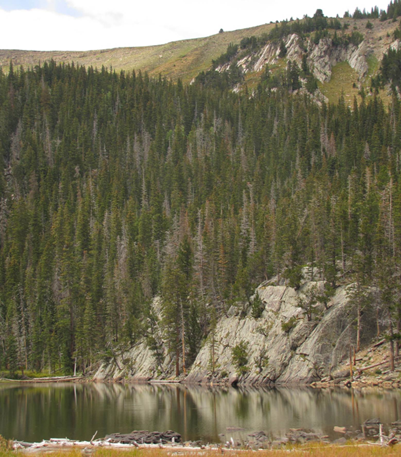
Stewart Lake
GPS coords- 35.831379°
-105.725695°
Little Stewart Lake
GPS coords- 35.831628°
-105.721202°
My grade school son thought he could
splash a rock into Spirit Lake… a half mile away…
GPS coords- 35.817489°
-105.740287°
Maestas Lost Lake is just over a mile
hike on a fine, well used trail, but park downstream on public land and stay
south of the private ranch buildings.
They tolerate hikers, so don’t hassle them. Give them a wide berth.
GPS coords- 35.817489°
-105.740287°
Even tho it
has been burned, this lake has AMAZING beauty…!!!
“Maestas Lake” is a short but steep,
trail-less one-mile 700’ ascent above Meastas Lost
Lake;
GPS coords- 35.855595°
-105.525415°
Nambe Lake is quite popular and quite
beautiful
GPS coords- 35.800155°
-105.776677°
Santa
Fe Lake is the sourse of city water for Santa Fe, New
Mexico and is therefore closed to all entry
GPS coords- 35.788772°
-105.778061°
__________________________________________________________________________________
Jemez Mountains
The Jemez Mountain Range is west of the
town of Los Alamos,New
Mexico. No peaks reach timberline. Altho, Chacoma Peak
is close at: 11,561’ elevation. Most
lakes within the Jemez Mountains are not natural, but rather, man-made
impoundments behind dams. Redondo Lake
may be the only one. However, I have
never visited Cienga Redonda, north of Valles
Caldera. I am told that it is a
substantial, marshy area with a couple small natural, high-country Lakes or
ponds. I hope to visit it some day soon.
Redondo Lake is a pleasant surprise…
west of 11,254’ Redondo Mountain in the Valles Caldera National preserve… a
very worthy hike destination.
GPS coords- 35.878078°
-106.576437°
___________________________________________________________________________________
Gila Mountains
This includes all of the Gila
Wilderness and it’s surrounding Vicinity. The Gila Mountains highest dozen or more
peaks exceed ten thousand feet elevation.
The highest is Whitewater Baldy Mountain at 10,895’. Most marked and named bodies of water in the
Gila National Forest are really just man-made tanks created by bulldozed
earthen dams… not pretty…!!! However there are three I know of that are natural,
high-country lakes… or in this southern New Mexico, dry climate, they might
should be called ponds.
Iron creek Mesa Lake, quite shallow and
sometimes dry
GPS coords- 33.390080°
-108.571803°
Little Turkey Lake is
another waterhole quite simular to Iron Creek Mesa Lake. I appologize for not being able to supply a
photo of it. It too at times runs dry. GPS coords- 33.375268° -108.615413°
However, Hillsboro Pond is as sweet of
a natural, mountain pond as can be found anywhere. It is perennial and just south of Hillsboro
Peak in the Gila National Forest’s - Black Range but is too small to support
any trout.
GPS coords- 32.946462°
-107.770725°
SO……. New Mexico’s most beautiful,
high-country, natural lake is probably Star Lake with it’s
300’ high Waterfall. But Maestas Lake,
Hunky Dory Lake, Lake Alice and maybe the main Truchas Lake rate right up
there…!!! And…!!! Lake Kathern is no slouch….!!! NEW MEXICO IS AMAZING…!!!
Send questions and comments to
doug.vivian@yahoo.com